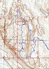
 The gps track, I won't show the entire route, as I think one should contact Brian D for instructions and appropriate cautions. The letters A-F are referred to below. |
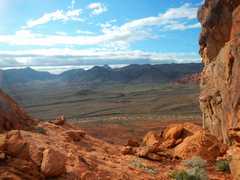
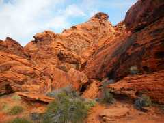
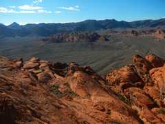
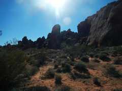
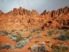 I'm approaching the outer palisade of peaklets from my car. The summit is to L, out of this frame. |
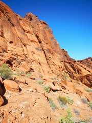
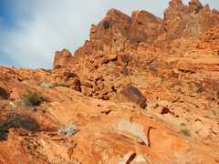 Climbing to a break in the cliffs... |
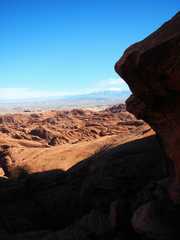
 ...and looking back SE... |
 ...and S... |
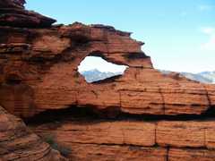
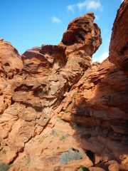
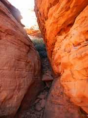
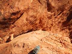
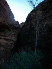
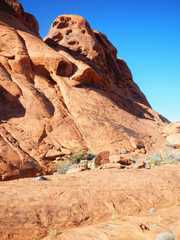
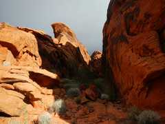 Jabba the Hutt waits at the end of this slot. |
 |
 |
 |
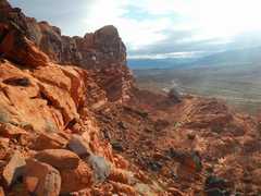
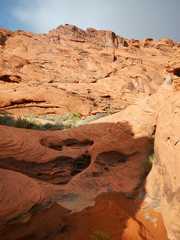
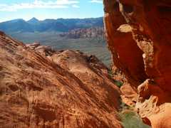
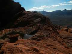
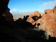
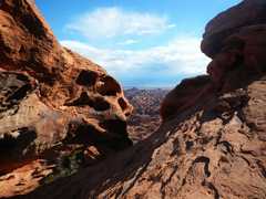
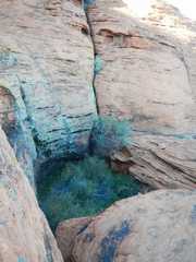
 Around the bend, one reaches a flattish area with some neat views. |
 Soon one must climb up a gully, site A on the map... |
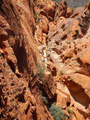
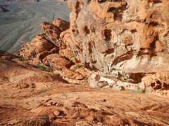 ...that gets steeper and narrower. |
 |
 |
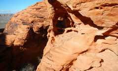
 One has to go R of this obstacle. |
 |
 The normal route to the R side of the obstacle seems to go through this easy but very tight slot; I couldn't fit through with my pack, so I opted to climb a class 3+/4 wall. |
 When climbing the wall, you are advised not to slip. |
 From the top of the obstacle, one trends NNW. At this obvious place (B), you are probably supposed to go straight and find a class 3 way over the boulders. |
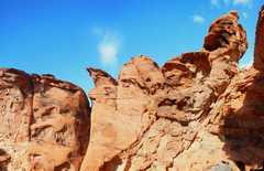
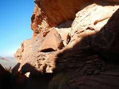
 Lots of very delicate erosion here. |
 I was a little too cocky, and opted to take a shortcut up this steep slot/book. |
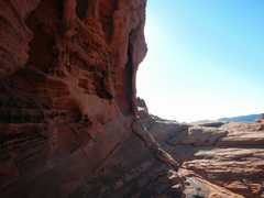
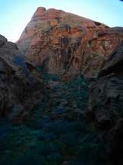
 All too soon I found a deep slot to my L (N). I continued E till the slot became shallow at C. |
 I crossed the slot, and took this view NW at the bottom. Note the pile of cheater rocks at bottom R. The trick now was to climb nearly vertical crumbly rock to the top of the white rock (top R, just below the overhang). Then you shimmy L through a tight space and emerge on a ledge at L. |
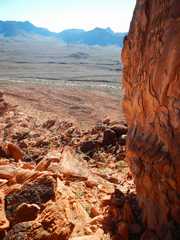
 Then turn the cornet to R. This is a view back SW over the slot-- it's essentially invisible at this angle. |
 On top! Karma restored! |
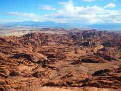
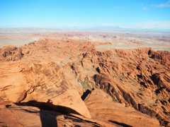 View NNE |
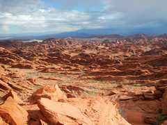
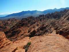
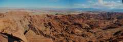 Pano centered roughly NE |
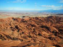 Close-up, view NE |
 Close-up, view E. |
 View SSW. The picnic tables are for weddings, with the paticipants flown in by helicopter. |
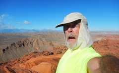 I was too lazy to search for the self-timer setting. |
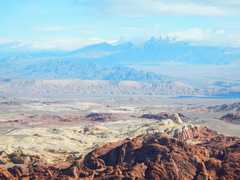 Virgin Peak in the distance, in partial clouds and a snowstorm. |
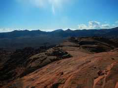
 Now I'm descending to N. This is a view E past the N face of the peak. |
 There are lots of pockets of greenery. |
 Instead of the route we took 9 days earlier, I opted to try this slot (D; view back up (S) after descent). It was OK for me, but one either has to walk a narrow sloping ledge, or stem across a creepy very narrow slot. I wouldn't advise this route for large or timid groups. It may be possible to walk off the ridge at L. |
 At the end of D slot., I turned sharply R, climbed a slope, then walked on ledges on the R side of this verdant valley. The 2972' peaks looms above E, the head of the valley. |
 Now I've passed by the east side of the peak, and am looking up to N; I think that is the summit. |
 View S from same point as last pic. One walks down a good ramp, till the grade at L gets dangerous, then cuts R onto broken rock. |
 View back N. I just came down the ramps at R; here I made another mistake; I went to F, but should have turned L (E) perhaps 200' sooner, as I cliffed-out. |
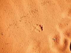 Bobcat track, no claws, classic overprinting of two footprints. |
 Next I need to go up there... |
 ...and back down to my car. |
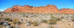 From my car, here is a view to the guarding palisade of peaklets. |
||
that it must have been over 70F -- it was actually about 50F!