|
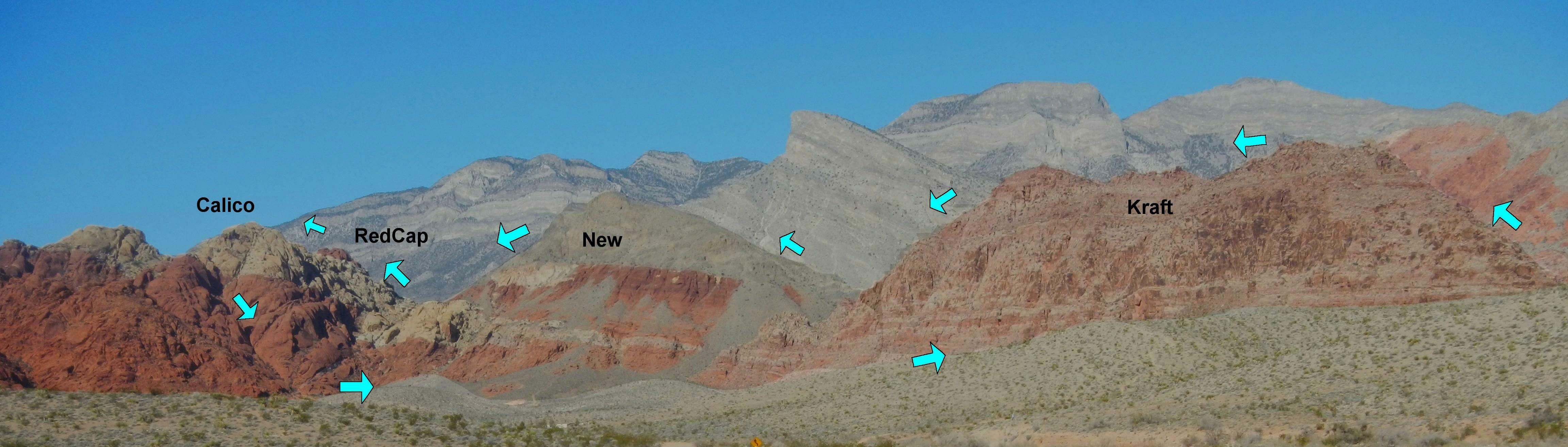
This is the view as one drives down the paved road to the Kraft Mt parking. The arrows (approximately) show our course. Red Cap is really a bit higher than Calico Tanks Peak.
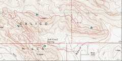 Here's the topo map, which hides the roughness on the terrain in the 40' countours. Our track is shown in red. |
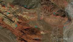 And here is the corresponding google earth image. |
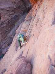
 Anji powers up the E side of Kraft. |
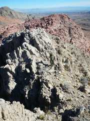
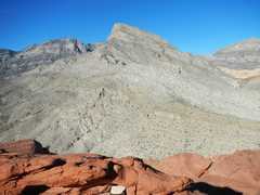
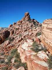 See that peaklet? we'll be there in short order. |
 |
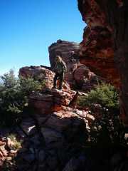
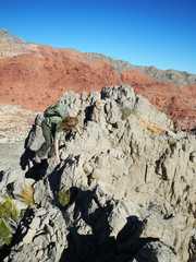
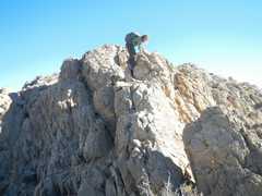
 Anjii climbs the back side of the peaklet. |
 On the west face of the peaklet. |
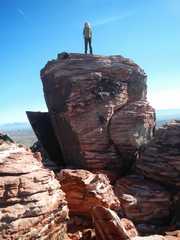 Ta-da! |
 |
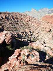
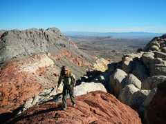
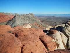
 View ~W from the top of Kraft. Our next goal, New Peak, is in the gray cone in the center (with red on the L side). |
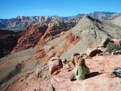 The sandstone ridge in the far back is called "Wilson Cliffs" on some old topos, and is dominated by Bridge Mt. and North Peak. |
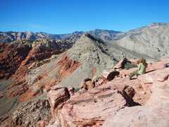
 View E, from near the top of New. The pink mass in back is Kraft Mt. I left a register on top of "New" back in late 2003, specifying no name. Eva P. later wrote in "New" Peak as a joke, and that name subsequently appeared in a book and on Summitpost. However, the search for Ron Kirk cemented the usage.. |
 Indulge me! I rarely get to take photos of folks on New Peak. |
 The mundane appearance of New, from a distance, belies the rough limestone along the top. |
 |
 Now we are descending of the W side of New Peak. |
 |
 |
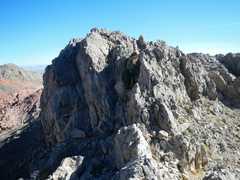 |
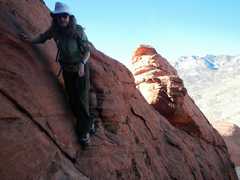
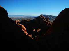
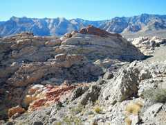 Our next goal-- Red Cap, also called "Turtlehead Jr" even though it looks nothing like Turtlehead. |
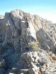
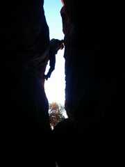
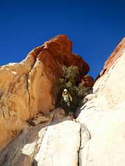
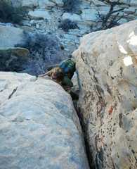
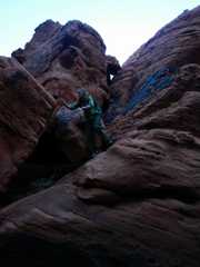
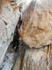 Anji leaves the tunnel! When I found this route in 2004, there were cairns to within 500', but no sign the rest of the route had been used before. The cairns were recently knocked down, yet there is much more evidence (footprints) that people now use this route. |
 |
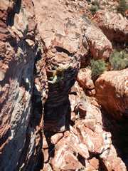
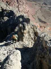
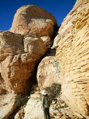
 To reach Red Cap by this northern route, one must enter a valley between the E W peaks. This is one sub-route... |
 ...that requires climbing some barely-visible ledges. I once found a rap sling at the top of this section, so apparently, some people don't see the ledges! |
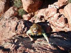
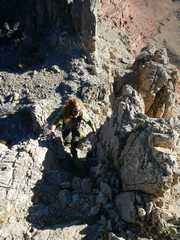
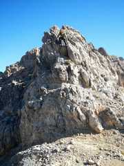
 The final class 3 move below the summit. |
 New Peak from summit. |
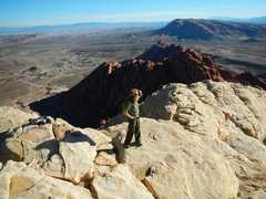
 Anji, with White Rock Hills Peak behind her. |
 Turtlehead to N. |
 Now we retrace our way back down the subtle ledges N of the summit. |
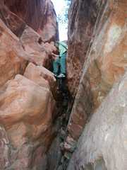
 I convinced Anji to try an alternate descent. In short order, I remembered why I hadn't taken other folks this way for 6 or 7 years. |
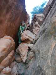
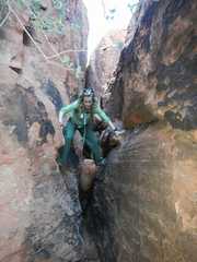
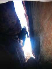 We had to take our packs off to descend the narrow slot. |
 Phew, out of the slot, view back to the E peak. |
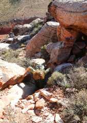
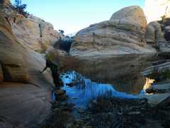
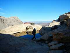 A tinaja. A pond on a mountain top! |
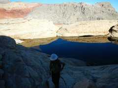 Another tinaja. New Peak in Back. |
 When I was younger and stupider, I cane directly down that slot. |
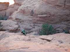
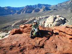
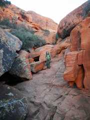
 Anji on the last climb to Calico Tanks Peak. |
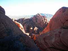
 View SE to Red Book Peak. |
 We cross the S shore of the largest tank. ("Tank" is a translation of tinaja.) |
 View of Red Book as we prepare to descend into the narrow slot. |
 |
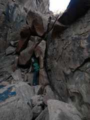
 This picture doesn't do the slot justice. We had to take off our packs, and alternately stem and wiggle to the bottom. I'm looking UP to take this photo. |
 |
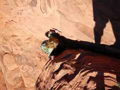
 Through one of many rabbit holes. |
 |
 Stem, stem, stem! |
 Jeebus, almost done! |
||