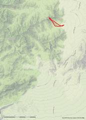
 Location map. Dirt road for Carp-Elgin is usually excellent. |
 Close-up of domical summit block. There may be a route on SW ridge, but the smooth-looking 40' contours are deceiving. |
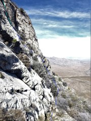
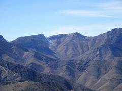
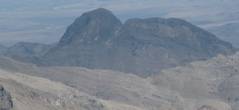 5804 as seen from Moapa Peak to SW. What appears to be a relatively gentle slope on R is actually an arete composed of small near-vertical 5-40' blocks. |
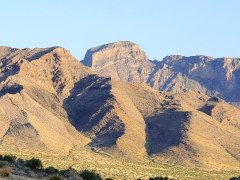 5804 viewed from the south |
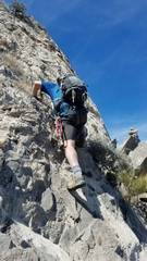
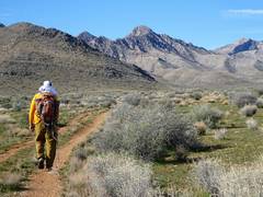 Tracy heads in. |
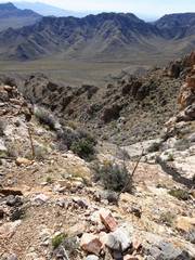
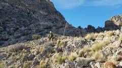
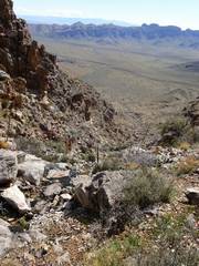 The first gully |
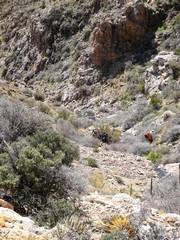
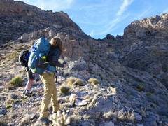
 Tracy finds safe route around slippery stream |
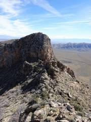
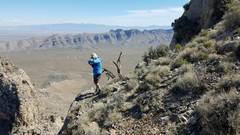
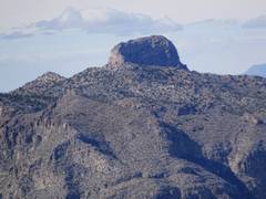
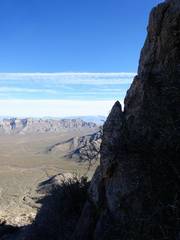
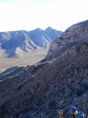
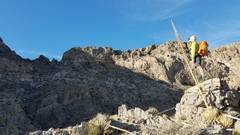
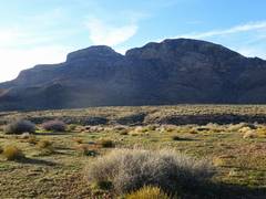
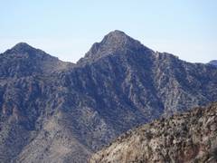 This prominent peak to S looks class 2-3 |
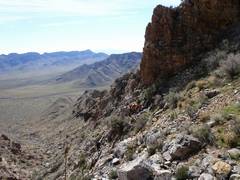
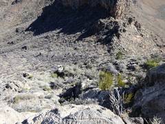
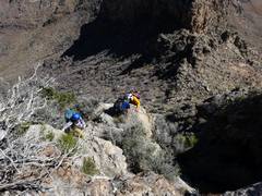
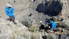
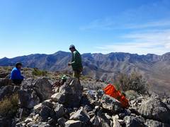
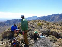
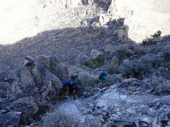
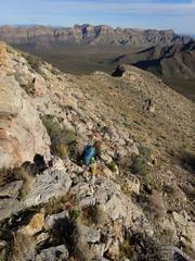
 Intrepids below |
 Intrepids below |
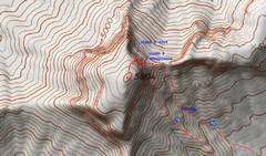
 Saddle (same is seen in view from Moapa) |
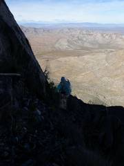
 Bart is down there |
 View ~NW, line shows path down, then up, then across up steep ramp to crux, a somewhat hidden chimney. After I placed a handline in the crux, I returned to my compatriots. |
 |
 After the traverse, we head up to bottom of crux. Pic by Anji. Cairn (which I placed) same as in 2 photos back. |
 Pic by Anji |
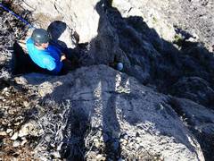
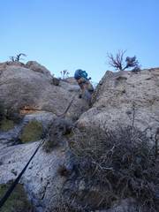
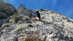 Pic by Anji. I am L at bottom of crux, Bart climbs to base. I climbed crux again, and belayed Bart and Anji. |
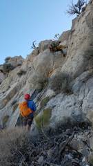
 Bart belays Tracy in the crux. I was very grateful Bart came along, as I am too light to belay Tracy, and by this point I was really tired. Bart tied a critical extra loop in the handline. |
 |
 More belaying |
 |
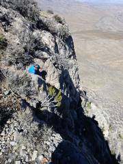
 Tracy gets up. Anji pic |
 Anji's pic of me E of crux |
 The top is domical and anti-climatic. No survey tower, no cairn. Elevation on map is likely from aerial photogrammetry. |
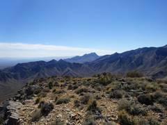
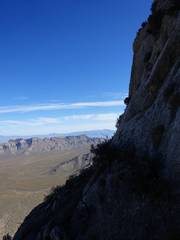
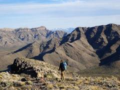
 Mormon Mts to W |
 Moapa Pk to SW |
 |
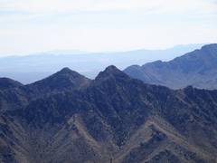 |
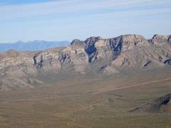
 Castellated Mormon Peaks |
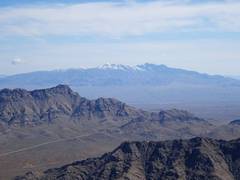 Snow-covered Virgin Mts in distance |
 Not sure this peak has a non-technical route. Don Palmer may have climbed it. |
 Anji raps the crux. I had preset my camera and snapped the pic with one hand while the other controlled the rope. I'm not a big fan of taking pics while belaying |
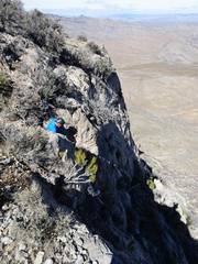
 Anji's pic of me belaying Tracy |
 We were able to walk W of this cliff |
 Ani prepares to descend, to her R... |
 ...is this cairn |
 Ani spots Bart climbing below cairn |
 |
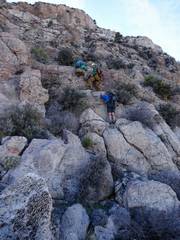 Team work |
 Mt Davidson to E |
 Anji saw a route down another canyon |
 Tracy and Bart at top of descent route |
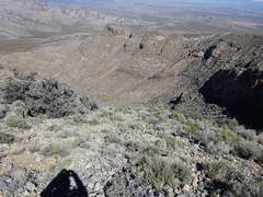
 Anji looks back at saddle, 5804 at L |
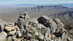
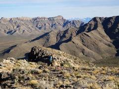
 Interesting rocks in saddle |
 Anji pic of me |
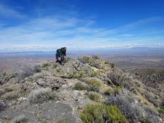
 Anji picks our route on the ridge |
 Anji |
 Anji |
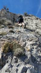
 From below, it doesn't look hard! |
||