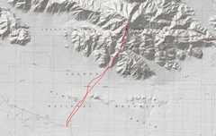
 The 1st day I got a late start from Vegas. so I hit the Pinto trailhead at noon! |
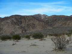
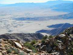
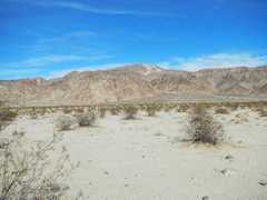 There it is, across a long sandy desert expanse. It was about 60F, but felt hot in the sun. |
 |
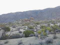
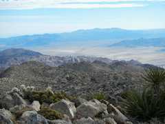
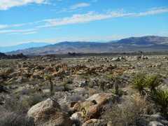
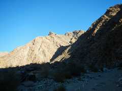
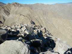
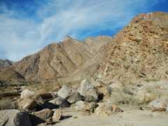
 There it is, view ~N. There are a few complications, but otherwise there is decent use trail. |
 |
 |
 |
 |
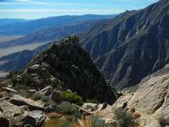
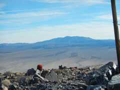 I think that is Eagle |
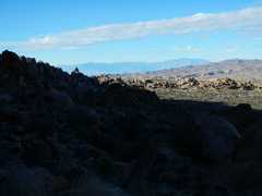
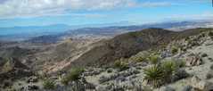
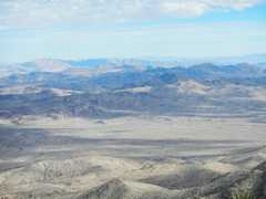
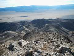 View SE as I descend |
 |
 |
 View back as sun gets low. |
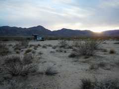 Just about 4PM, and the sun is already setting behind low mountains. It was dark by the time I pulled into Cottonwood Campground, where I spent the next to nights. |
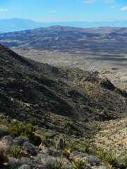
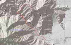
 Next day was Eagle. I decided I'd try a slight variation on DPS route B, starting from the campground around 7AM. It had been a cold, moonless night. This route is perhaps prettier than route A, but goes up and down over washes A LOT. I did more than 11 miles and 3000' accumulated gain. |
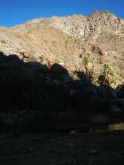
 View back W at cottonwood. |
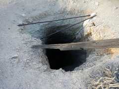 unprotected vertical mineshaft. |
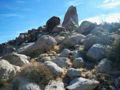
 "The Sphinx," a landmark I used to navigate. |
 |
 I tried a ridge route coming up (just 1 cairn!) and dropped over a W summit. |
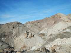
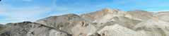
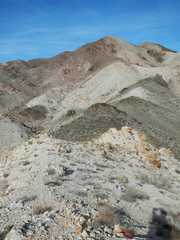
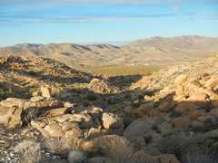
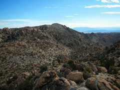
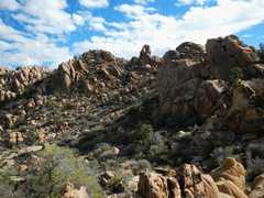
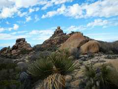
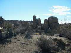
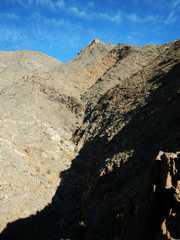
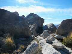
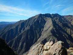
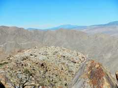
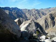
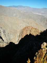
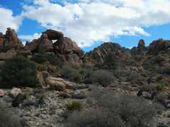 The area from about 5000' up was neat, full of rocky prominences. |
 |
 |
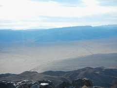
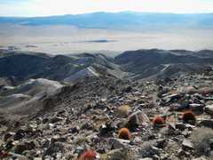
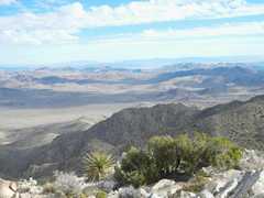
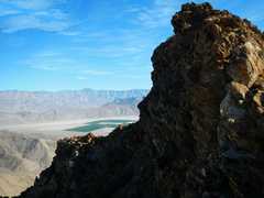
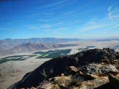
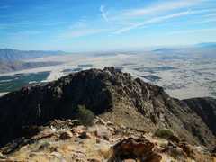
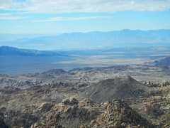 Salton Sea and Rabbit |
 |
 |
 |
 |
 |
 |
 |
 |
 |
 |
 |
 |
 |
 |
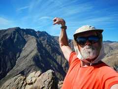
 Sunset on Eagle. Even though I got back by about 1:20, I knew that by the time I ate, etc., I would be faced with another drive in the dark, so I stayed another night at Cottonwood. |
 Next morn I drove to Anza Borrego State Park for Indianhead, and hit the trail about 7:40AM |
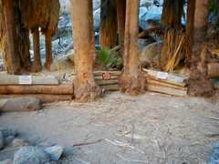
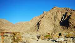 The trailhead-- sign warns to take a least a gallon of H2O per person (just for hike to oasis). |
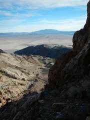
 I think that's the peak to NNW. |
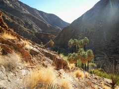
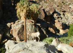 4 bighorns ran past at the 1st palm oasis. |
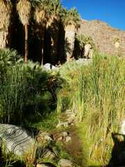 |
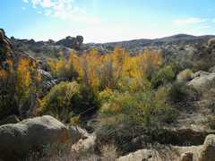
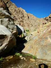
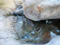
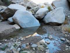 Lots of water - I got 1 soaker on way up, another on way back. |
 |
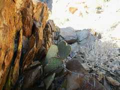
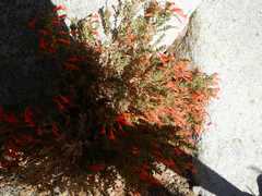 California Fuschias. |
 amazing sideways waterfall! |
 Starting on Ridge, view back SE. |
 |
 View NNE |
 |
 |
 |
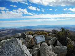
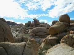
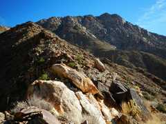
 The top 300' are composed of huge boulders. With some looking, you can always find a class 2 bypass, but class 3 routes are often faster. |
 View ESE from summit. |
 |
 |
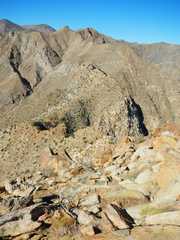
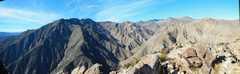 Neat ridge to S |
 view NE |
 |
 |
 |
 |
 |
 |
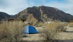
 My tent is somewhere down there. |
 |
 |
 |
 San J, I think |
 Heading back down ridge. |
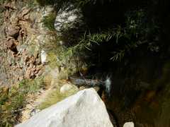
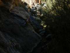 Often I traversed high on the sides of the stream. |
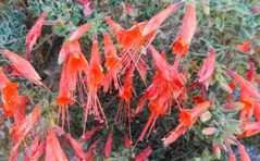 fuschias again. |
 View NE; Indianhead in back, stream in front. |
 |
 |
 |
 |
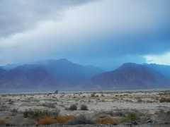 Weather change next morn |
 Near Twentynine Palms. |