Loop to
Evil Twin, Bridge,
pics by Harlan W. S. This was intended to be a conditioning hike, squeezed
into 5 hours. The nameless canyon I
used for ascent is inferior to the “ If you talk to the hiking old timers,
they will refer to "
|
|
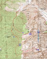
Here’s the GPS trace (red) of my peregrinations. |
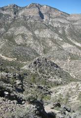
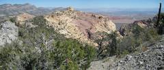
This view is W, as I ascend the nameless wash. |
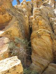
View NW. The ridges on the side of the wash are quite rough. |
|
|
|
|
|
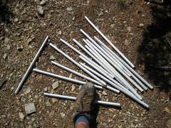
Just when I thought I was in uncharted territory, I came across these tent poles. Years back, I was asked if it were possible to camp on this limestone ridge. I guess someone tried, then lost the poles from a backpack during a quick descent. Certainly I’ve seen Poles in Red Rock before. |
View of |
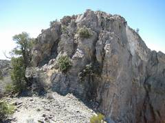
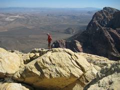
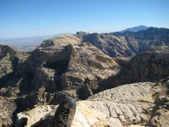
View S, to the
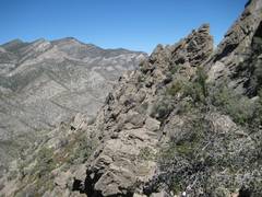
mighty 15’ of class 3 at the N end of “Evil Twin” ( |
|
|
|
|
|
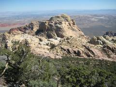
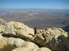
View of Bridge from “Evil Twin”. |
Now I’m heading E on the RR Summit trail to Bridge. |
I always get lost at one point on the route to Bridge, and half the time I descend this class 4 chimney (view W, and up). |
|
|
|
|
|
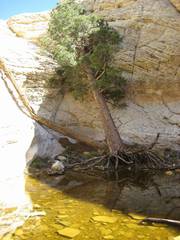
The tinaja, by the Bridge, is wet once again! |
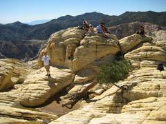
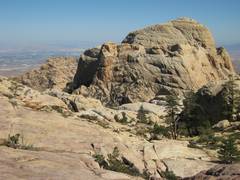
On top of Bridge. |
What should I do about this constant foot itch? |
|
|
|
|
|
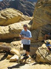
This fellow climbed Bridge in Tevas. |
Peppe, Red Rocks’ señor citizen. |
This pleasant Cambodian expatriate talked at length about the effects of altitude. |
|
|
|
|
|
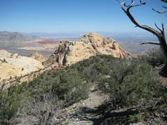
Bridge from the way back along the limestone-sandstone thrust. |
Bridge from the
sandstone |
|
|
|
|
|