La Madre and El Padre from Brownstone

8154' and 8093', on the North Side of Red Rock, west of Las Vegas.

H.W. Stockman
November 6, 2004

 To get the base of the hike, at ~4750', you must drive into Brownstone Basin from Charleston Road. As of 11-06-04, the developers of those $700k homes have blocked off the main access road, probably because people were dumping trash on their property. However, you can loop to the west on a rough but 2WD road, and get around the berms, to connect back to the 4WD road. In a while you will be back on BLM/US Gov't property, which will probably stay in the public domain. See map below for the road work-around.

Here are some GPS files, in comma-separated format, you can use at your own risk:

waypoints for drive in: WGS84 NAD27

Click on any small image to see a larger picture. (Cliquez sur une petite image pour voir la grande image correspondante.) Order is essentially chronological. Even the large images are reduced in size to 20% the number of pixels in the originals. Contact me if you want the full-sized images. To save a large image under Windows, 1) click on the corresponding small image; 2) when the large image appears (fully), right-click on the image and choose "Save Picture As..." on the menu. Be sure to note where you saved the image!

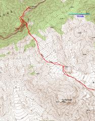
GPS trace of later part of hike.

DSCN9494

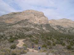
View NNW to El Padre, just S of word "JEEP" in previous map. We must cut to the right at the base of the wall.

DSCN9503

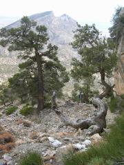
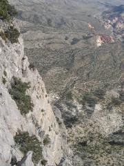
ESE view of Damsel Peak, as Steve comes up by THE WALL.


DSCN9506

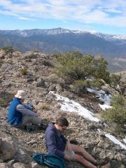
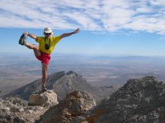
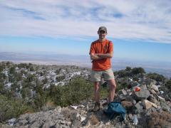
Pierre runs up the slope, and does a rain dance.

DSCN9517

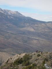
View NW from La Madre. When we got to the top of La Madre, Tom Hawley's group left by the Northern route (here they are heading down). I hope it wasn't something we said!

DSCN9518

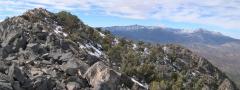
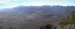
On top, view WNW, of Griffith and Charleston Peaks.


pan04MaPa9520-2

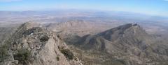
View East toward Vegas, from top of La Madre.

pan05MaPa9524-8

View W to Padre (in middle of photo). We came up the notch between Padre and Madre.

pan06MaPa9529-31

View WNW at Madre. Pierre and Steve are the tiny dots on the peak top.

If you look carefully on top of Fletcher Peak, you will see Anya and Hadrian, who were on that summit at this time.


DSCN9535

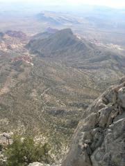
Looking down on Turtlehead. We parked our car SE (left) of Turtlehead.

DSCN9538

pan07MaPa9547-8

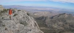
View E toward Vegas. Pierre crosses the ridge to Padre.


DSCN9549

DSCN9552

DSCN9555


DSCN9558

Dude, did you take the pencil? 'Cause your entry was last, and the pencil was gone when we got there.

pan08MaPa9559-61

SW toward RR.

DSCN9566

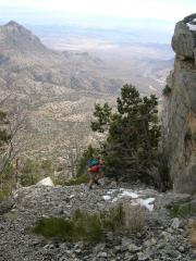
View down Padre Cliffs. Dude, where's my car? (Upper right corner, but too far away to see.)


pan09MaPa9569-71

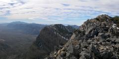
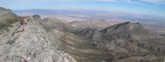
Panorama E-SE from Padre.

DSCN9581

Dam! Almost down.


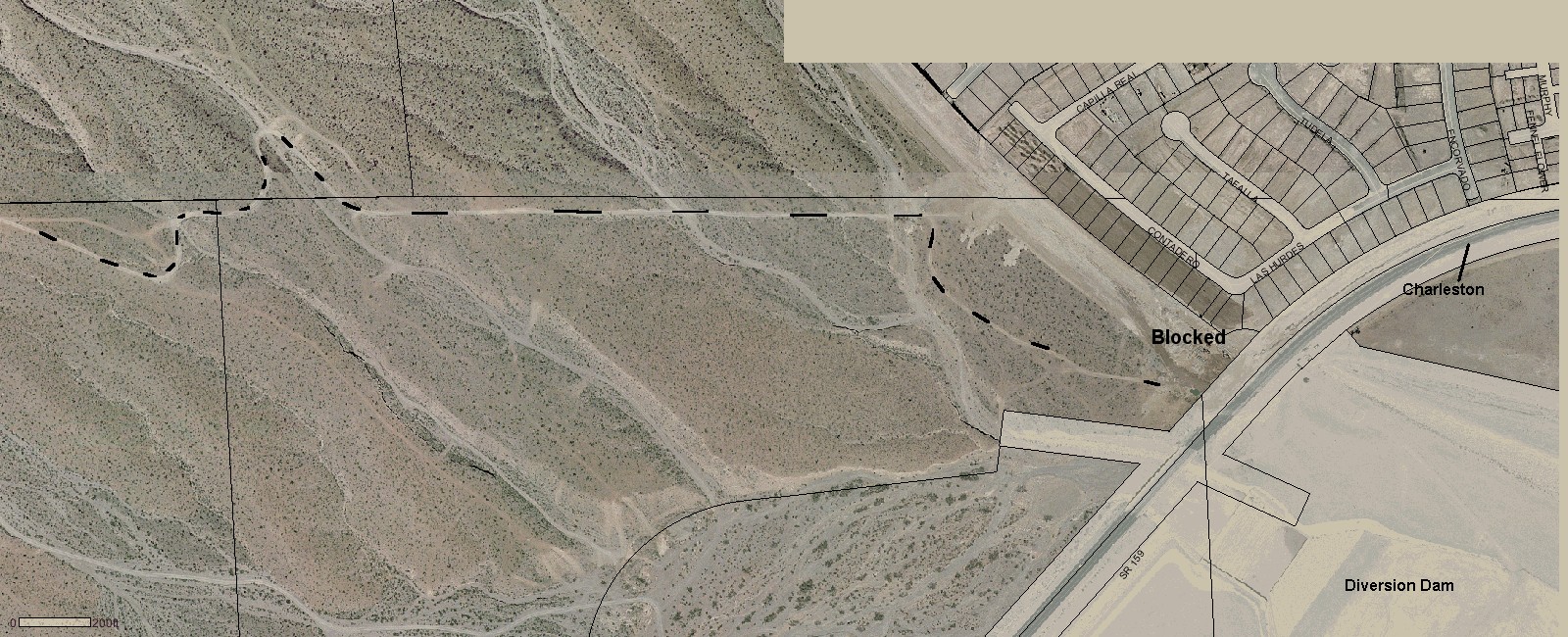
This map shows the work-around to get to the Brownstone Basin. (Black dashed line.)