|
|
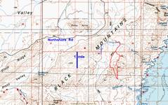
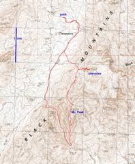
100k topo map with GPS trace. |
|
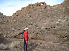
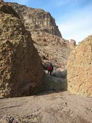
Arch in Manganese (Mn) wash. |
|
|
|
|
|
|
|
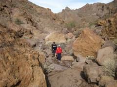
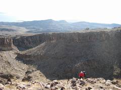
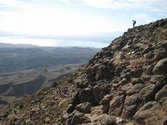
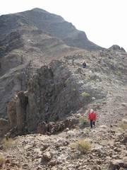
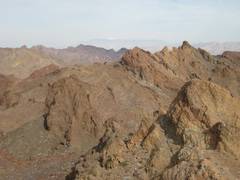
View S as we leave the wash and start up the ridge to the peak. |
|
|
|
|
|
|
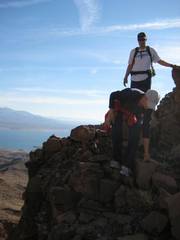
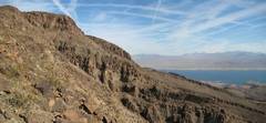
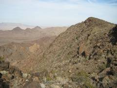
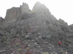
View N to the peak. |
|
|
|
|
|
|
|
|
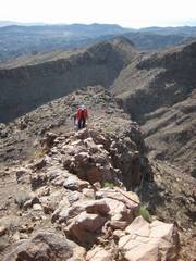
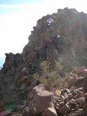
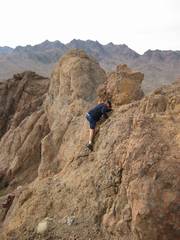
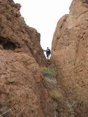
CP and DB make a rocky traverse. |
|
|
|
|
|
|
|
|
|
|
|
|
|
|
|
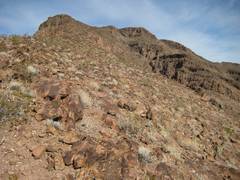
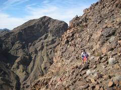
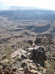
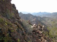
View W as we head down the N side of the peak. |
|
|
|
|
|
|
|
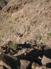
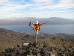
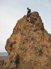
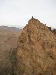
There were numerous pinnacles to the N. CP couldn’t resist. |
|
|
|
|
|
|
We first went all the way E to the highpoint. |
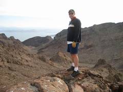
An unimpressive view from the top… too small to back up for a good photo… |
|
|
|
|
|
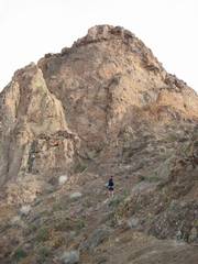
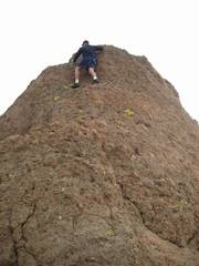
But this view, looking up at the same peak, gives an idea… |
The next peak; this view doesn’t do justice to the drop-off behind the boulder… |
Looking up, to the next peak… |
|
|
|
|
|
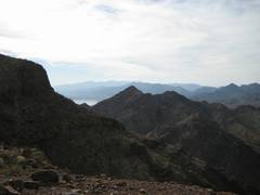
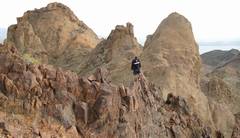
Now a view back east at the last 3 peaks we tagged… |
…and one more peak to the east… |
|
|
|
|
|