Mummy
Nose/Forehead in "Conditions"
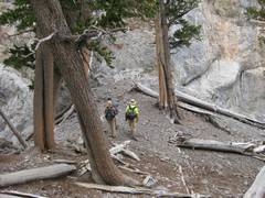
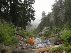
A combination of rain, wet rock, lightning, and strong
wind caused us to escape down Deer Creek… but it was quite a trip. This
was the first time I’ve taken this route, where everyone made it over
the hardest stretches without any handlines or assists. pics by Harlan W. S. |
|
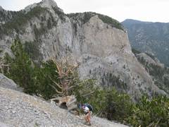
This is the easiest and least complicated way up “The Nose”. The route meets the Dr EF/Branch Whitney route about 200 meters below the top. |
|
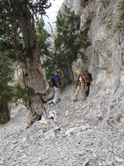
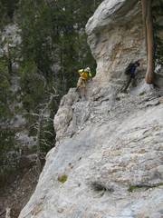
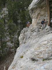
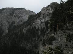
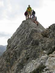
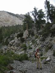
View N at main decision point. The normal route (EF/BW) continues S on W side of ridge. One can go a ways up the E side of the ridge, then climb a class 4 wall to regain the normal herdpath. |
|
|
|
|
|
|
|
|
|
|
|
|
|
The “Forehead” to SW. From most viewpoints, the sharp peak of the Forehead actually looks like a nose, and the west side of the mountain looks like a forehead. |
|
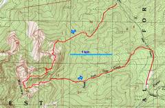
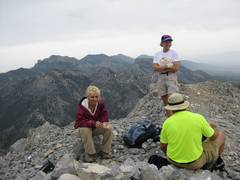
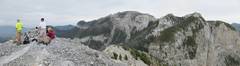
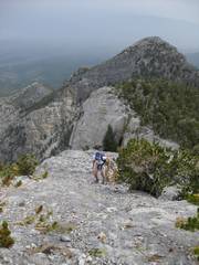
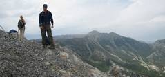
View S toward entire range. |
|
|
|
|
|
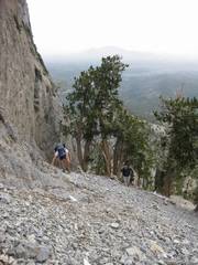
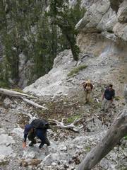
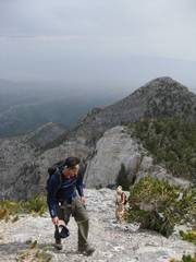
3rd class descent on S side of Nose. |
|
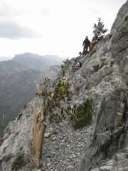
Valley between Nose an Forehead. One “bail route” is to the left (E). |
|
|
|
|
|
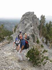
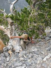
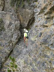
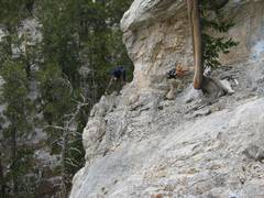
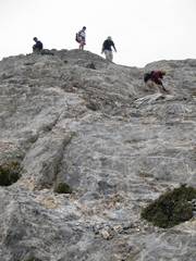
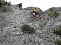
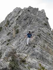
We’ve just gone up the “class 4” wall. |
|
|
|
|
|
|
|
|
Skies are getting dark. |
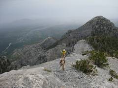
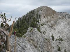
Nose in view to N. |
|
|
|
|
|
|
|
|
|
|
|
|
|
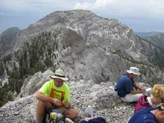
To the S, the Tummy is in Sun! |
|
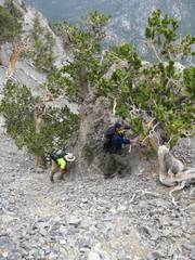
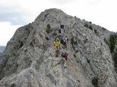
View NNW as we head over chossy ridge. Big exposure to L and R. |
|
|
|
|
|
|
|
We started to see lightning, so made a hasty retreat to saddle. The rock started to hold the rain. |
|
|
|
|
|
|
|
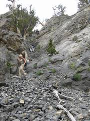
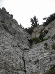
We descended ENE down the dryfalls from the saddle, toward the North Fork of Deer Creek. With rain, the polished rock was quite slippery. |
|
|
|
|
|
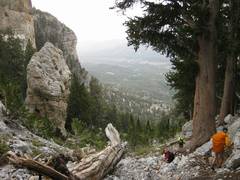
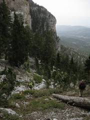
But it was beautiful. |
|
|
|
|
|
|
|
|
|
|
|
|
|
|