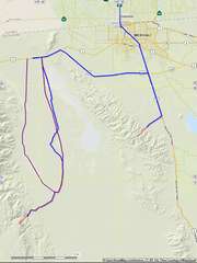
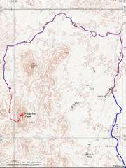
 Roads for the MX peaks. The road to Pescadores may be altered by the ever- expanding garbage pit. The dirt roads to Risco have 2 choices; the dependable route on the W side of the valley is very bumpy; the road on te east side is much faster, but only for use in dry weather. |
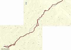 Map for Pescadores hike. At point 1 leave the wash and start on the ridge; the correct ridge is identified by a thin pointed boulder (see below) at point 2. At point 3 bear right, to "hidden" valley on N side of ridge (see below). |
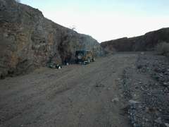
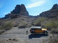
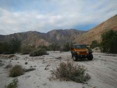 Perhaps we could have driven 0.5 miles farther, but it didn't seem worth it to challenge the deep sand. |
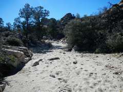
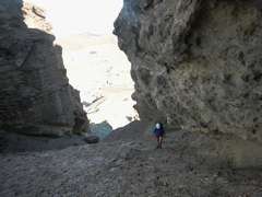
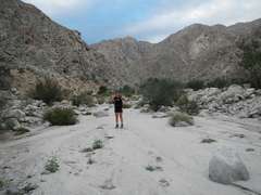 Heading SW in the main wash. |
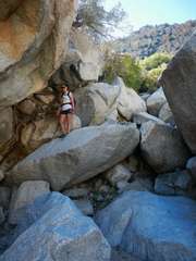
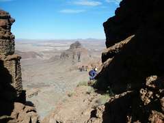
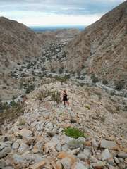 heading up the ridge near point 1 |
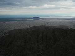
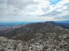
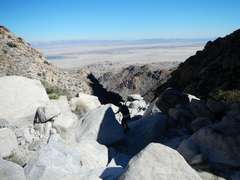
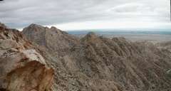 view NW |
 |
 |
 |
 |
 |
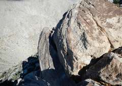
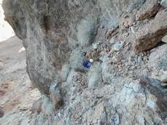
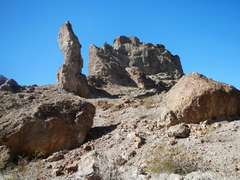
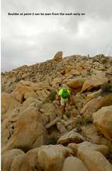 Boulder at point 2. Pic by Jodie. |
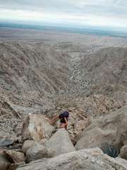
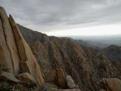
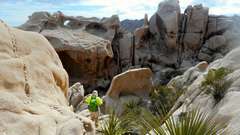
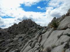
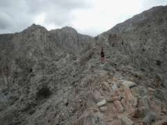
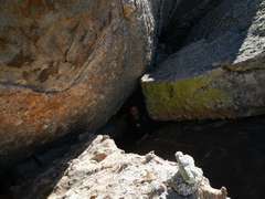
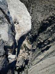
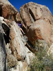
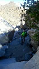
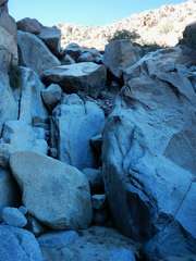
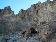
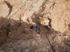
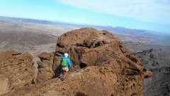
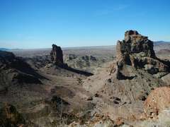
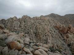 Terrain gets rougher before point 3. The mountain is DPS class 2, in the same sense that Spectre and Sheephole are DPS class 2. |
 I made the mistake of going L near point 3; sketchy terrain, loose gravel on steep rock. |
 We should have come up this valley instead of coming over by the arch. |
 |
 |
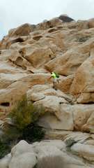
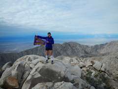
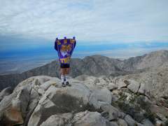
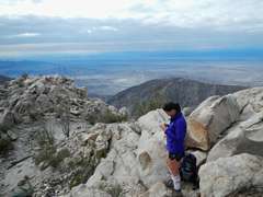
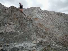
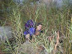
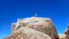
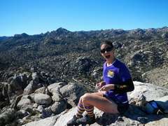
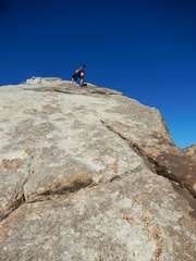
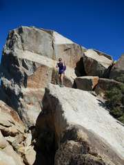
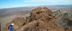
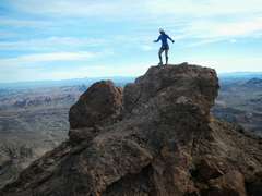
 Pippy on top |
 |
 |
 |
 |
 |
 |
 |
 |
 |
 |
 |
 |
 |
 |
 |
 |
 Pic by Jodie |
 |
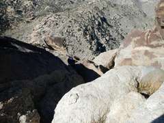
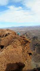
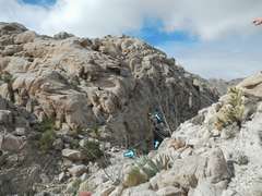 This is how it looks as one approaches point 3; we went L on way up, but should have gone as indicated. |
 |
 |
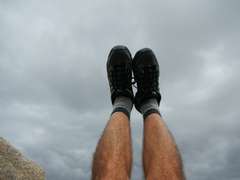 |
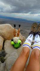 photo by Jodie. |
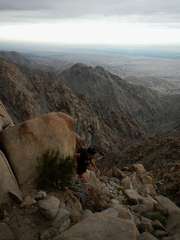
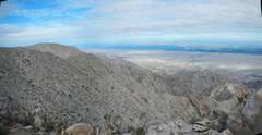
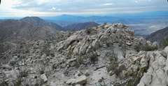
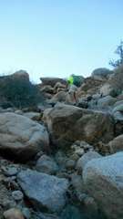
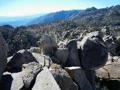
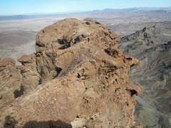
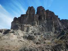
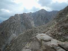 Rouh country |
 |
 |
 |
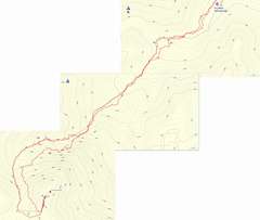 Hike from hot springs to Pico Risco. 1a is the ascent route out of main wash, 1b is the descent into main wash; 1a was better. 2a was the way we took up, 2b the way down. 3 is a convoluted area near summit where we spent 20-30 minutes puzzling over the route; 4 is keyhole near jump-across. |
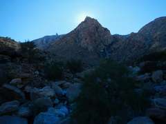
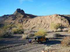
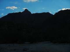 Risco in the eve, as we prepare to drive the last 5 miles to the hot springs. |
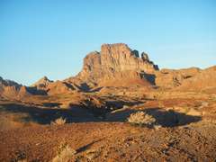
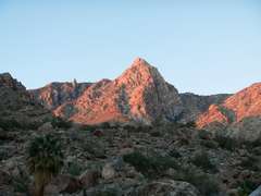 Risco to SW, in morning glow |
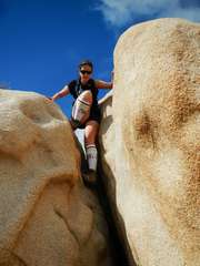
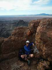
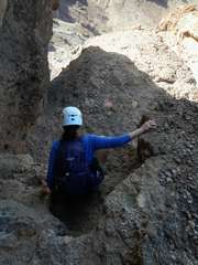
 Jodie has a primitive moment. |
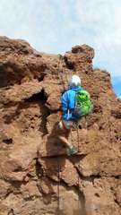
 Starting up the steeper boulders near Risco. Pic by Jodie. |
 We ascended on the S side of the canyon, near the N wall of Risco. Aside from some sidehill and brush, this was actualy a fairly benign route. |
 We're nearing 4300'. |
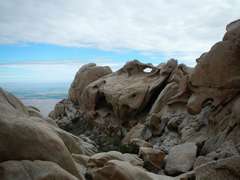
 We thought this was the "keyhole" but it was just a random tunnel. |
 |
 Obstacle course near top. |
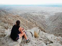
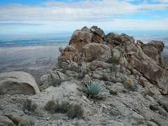
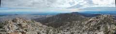
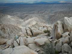
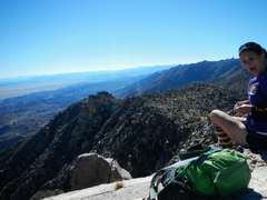
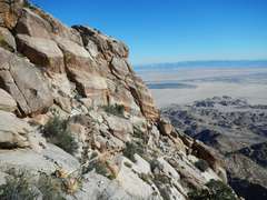 Random shot east of summit. Pescadores is across valley. |
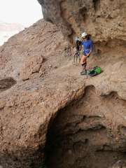
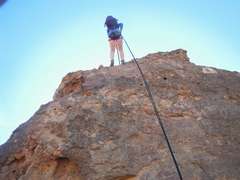
 Summit block in back, step-across launch boulder to R. Pic by Jodie. |
 Pic by Jodie of me on summit. Step-across boulder is in front. |
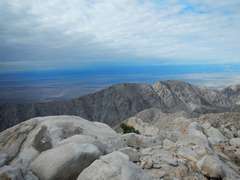
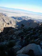
 View down N side |
 |
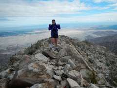
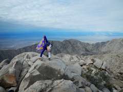
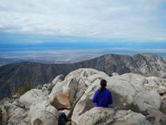
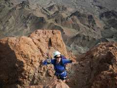
 On top. |
 |
 Pic by Jodie, of me imitating Jodie. |
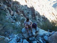
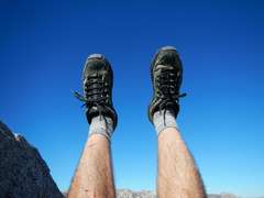
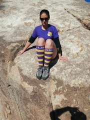
 Jodie does the required socks photography... |
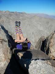
 ...and here is the view immediately to her right. |
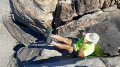
 Don't ask |
 Jodie contemplates the step-across. She didn't like my method (jumping)... |
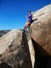 ...so she did a graceful butt-assist. |
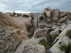
 Pippy below the summit block |
 |
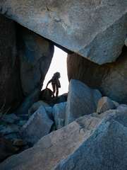 Jodie comes through the Keyhole. We completely missed this on the ascent. |
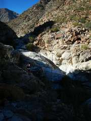
 We decided to take the DPS-recommended descent in the wash. Actually, it seemed tougher than our ascent closer to the wall, because the wash was composed of huge boulders. |
 One of many obstacles we navigated. We hit a rhythm, Jodie and I alternating the route-finding. |
 Pic by Jodie. |
 The big-boulder wash seems to go on forever. |
 View of side of Risco, at the top of a dryfall. |
 Jodie gives scale to one of many, many dryfalls we had to find a way to descend. |
 It's omly about 2PM, but the sun has "set" behind Risco. |
 View SW, almost back to main wash. |
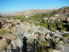 Almost back to Oasis (marked by palms)-- view NE up Guadalupe Canyon. |
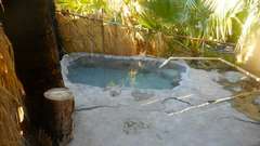 The hot "tub" at Guadalupe Canyon... small, and my use was just for sponge baths. I had reserved 2 nights for 5 people for just camping. Everyone else bailed, and the camp managers felt so bad they gave us a site with a tub. Pic by Jodie. |
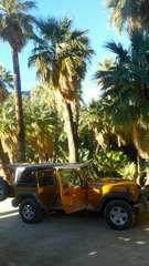 Our camp spot at Guadalupe Canyon Oasis. Pic by Jodie. |
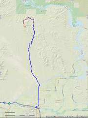 Roads from Yuma up to Little Picacho (about 20 miles of good dirt-- last few miles is 4x4). |
 |
 Primitve camp in wash. I took my tent down and packed quietly, giving Jodie another hour to snooze in the Jeep. The gravel near the wall is soft enough for tent stakes. |
 Morning view from hill above primitive camp in wash. |
 Parking spot, maybe 700' N of absolute end of 4x4 road. |
 We're SW of peak, about to head to notch at L. |
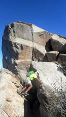
 Climbing up to notch between W and E peaks |
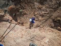
 Up 1st significant grade from notch. |
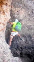
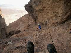 Ready to belay Jodie past "step-across." She decided she preferred to down-climb near wall. |
 After succesful belay. |
 View from top of false summit. Rope is through my atc, which is clipped to a hanger; ready to belay Jodie. |
 |
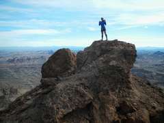
 On top! |
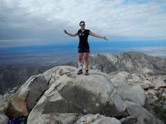
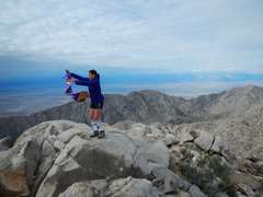
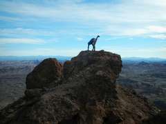
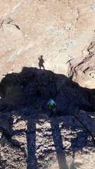
 Posing begins - first the Pippy. |
 |
 |
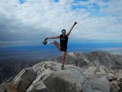
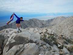
 Jodie delighted. |
 View N. |
 Me heading N. Pic by Jodie. |
 Me heading N, way back. Pic by Jodie. |
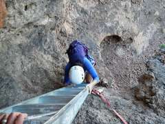
 Now we head back N to false summit. We will ascend the black static line we left in place. They are tied in a figure 8, and clipped into a hanger, so thy don't slip. |
 I first demonstarted the ascenders. Pic by Jodie. |
 Pic of Jodie. I rapped down, set up ascenders, held rope as she went up, then reascended. |
 Pic of me by Jodie. |
 Jodie raps down N end of false summit. |
 View N from N end of peak |
 Over step-across. On descent, it is easiest to stay close to wall. Pic by Jodie. |
 |
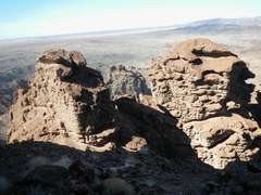 twin towers W of highest peak |
 |
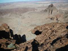
 View N through notch to USGS Little Picacho. |
 Nameless lumps to SW. |
 Nameless lumps to SW. |
 Picacho from west; right tower is the higher. One first goes to notch between the peaks. |
 Back at Jeep. Picacho in back left |