 Mis gatas. No, this doesn't have anything to do with the trip, except they are clearly wishing me well. |
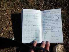
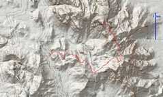
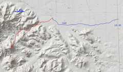
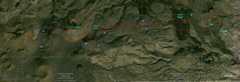 Map of Pinacate/Carnegie. Contour lines superposed on aerial photo. This is a class 1 hike, the toughest parts of which involve sharp plants, sharp lava, steep scree, and modestly rough 4x4 roads. |
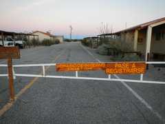 We crossed the border at Lukeville about 6AM, drove~34 miles to Biosphere/Pinacate by 6:40... only to realize we were still over 2 hours ahead of opening time! After a friendly chat with the attendant, were admitted 2 hours early. |
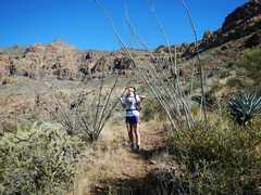
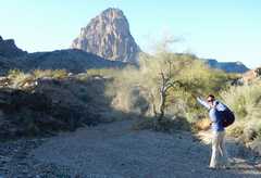
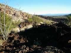 The first part of the hike involves a slow trek across a sharp, fairly recent flow of brittle basaltic lava. |
 |
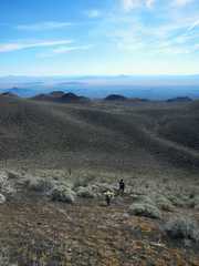 Jodie loves scree. |
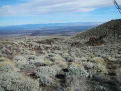
 View to Sea of Cortez, and sand dunes. |
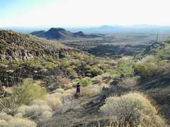
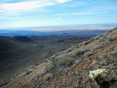
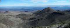
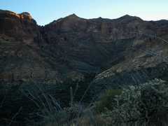
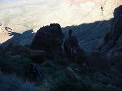
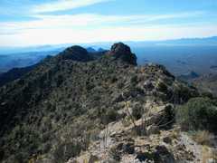
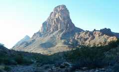
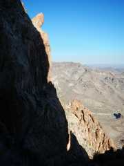
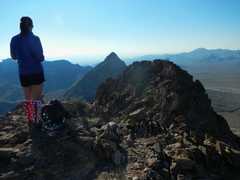
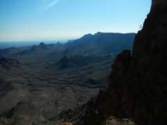
 View east to the slightly lower Carnegie Peak. We later would cross over the left shoulder of the lower peak, and head up Carnegie via the cactus-covered ridge just right of the shadow. |
 |
 |
 |
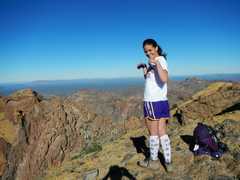
 Jodie in her Day of the Dead mask and spider-web soccer socks (I'm as puzzled as you are!) |
 Pippy! |
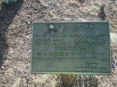
 View NNE to Kino plaque |
 |
 |
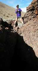
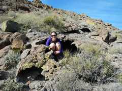 Jodie tries to squeeze into lava tube. |
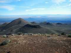
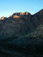
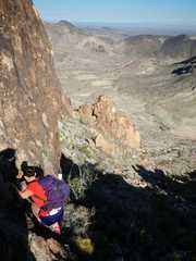
 Carnegie ahead |
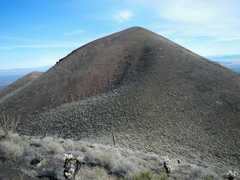
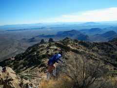
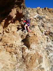
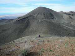 Pinacate in back (to W) as we slog up Carnegie. This was actually an easier climb, ironically, because we stayed amid cacti on a gentler slope. |
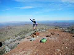
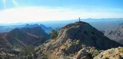
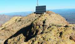
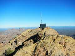
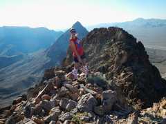
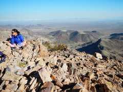
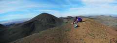 Top of Carnegie. |
 Now we are down Carnegie, heading to various volcanic features. |
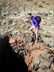 |
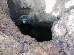 There were two verical lava vents; one was really deep, and I coldn't really see the bottom. |
 |
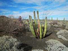 A sickly organ-pipe cactus. |
 My "short-cut" which gave us the only class 3 dryfallsof the day. |
 pahoehoe lava. |
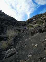
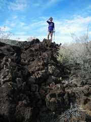 The lovely lava field. |
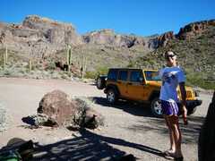
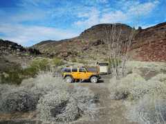 Park spot. The Bioshpere Park has set up a long winding trail to Pinacate-- the DPS gives a shorter route that we took (more-or-less). I'm guessing the longer, official route avoids cacti, steep scree, and lava fields. |
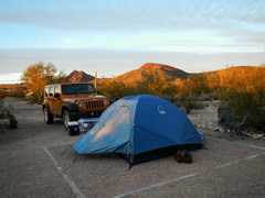 Back at the campsite. Jodie stayed in her beloved Wranler (with its heated seats), I in my tent. It was near freezing both nights. |
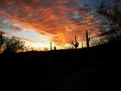 sunset |
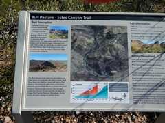
 Next day was Ajo. We stayed wih a faint use trail after the official trail ended at Bull Pasture overlook. The official DPS instructions seem to involve a harder route straight across Bull Pasture and up rocky terrain to the ridge. |
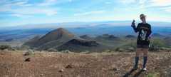
 The sumit of Ajo is that sharp peak at left-center. |
 |
 |
 I'm by the towers, looking S at Jodie on the true summit. |
 Now I'm on the true summit, looking at the towers to N |
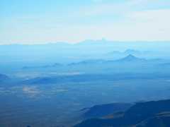 Baboquivari is visible as sharp peak to E. |
 |
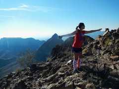
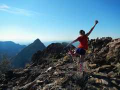
 Jodie does a pretty good balance... |
 |
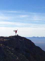 ...and she photographs me doing same. I hadn't stretched much in about 3 months, due to a back injury, so I was not up to my "younger" form. |
 |
 Now we head down |
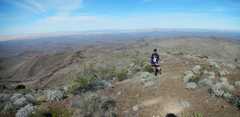
 A faint use trail skirts the lumps on the ridge. |
 Jodie and alien head. |
 Ocatillo arch |
 |
 View back east at Ajo. It's hard to take a picture of Jodie without having her make some sort of face. |
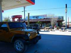 We finished Ajo early, so we headed N to camp near Mopah in CA. We stopped for lunch in Why AZ. |
 Next morn it ws bitterly cold near Mopah, so we didn't get moving till about 7:30AM or so. |
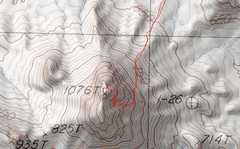 The last part of route. |
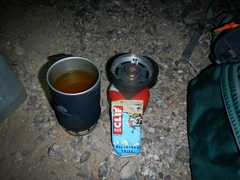 My breakfast. I heated up a caffeinated version of Tang, just to get some warmth. I assume Jodie had fiery Cheetohs and heated seats for breakfast. |
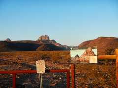 Mopah as seen from the boundary for Turtle Mt Wilderness.. |
 The wash in. |
 The 1st part of scramble route is indicated on the left side of peak. |
 Now we are in the main E-W gully. Jodie does a one-handed Pippy. |
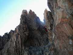
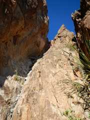
 Slot to upper notch -- steeper than it looks. |
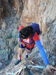
 This s crux. DPS guide calls it "awkward class 3" where most will want a rope. Unfortunately, the starting point is right above a big drop, so many would call it class 4. |
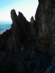
 Jodie pops through the upper notch, right across from the crux. (I'm taking this picture from the base of the crux.) |
 |
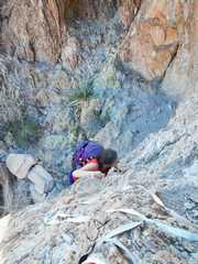 Jodie handles the crux like a pro. |
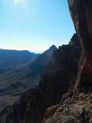
 On top! View S to Umpah. |
 |
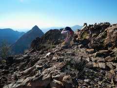 No, I have no idea what she is doing. |
 |
 Warm memories, and sad memories. |
 View to NE |
 In the sun, it seemed warm; but when we gt back to the car, it was in the 40s. |
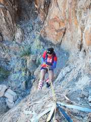
 There were three decent 1" webbing slings through a rap ring, so we did a 15' rap down over the crux. |
 |
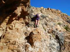
 Jodie climbs back down below sharp notch. |
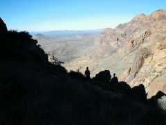
 Now we must sneak around that corner and head down that steep gully. |
 Jodi downclimbs stretch right above "shallow cave." |
 |
 |
 Now we leave the steep gully and head N between the two low notches. |
|