|
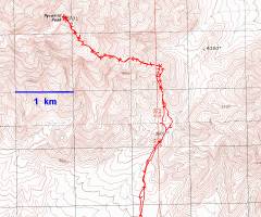
GPS trace. I think I ascended one saddle too far west, as the route was loose with no sign of prior human travel. |
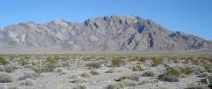
View N from the road, about 11.4 miles W on 190, from Death Valley Junction, ~3025'. |
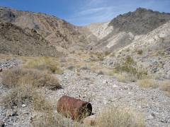
I went N to Saddle at ~4550', over loose white quartzite. Didn't find Wingding's hat, but did find this barrel, plus an old root beer can. |
|
|
|
|
|
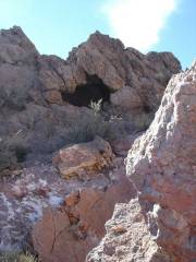
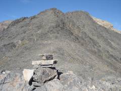
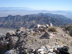
Cave, big enough for one, near crest. |
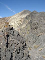
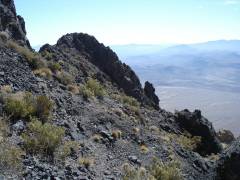
View W over limestone crags. |
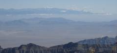
View WSW to Telescope Peak, with fresh dusting of snow. |
|
|
|
|
|
View W near limestone crags. Stay S (left) of pinnacles on rough use trail. |
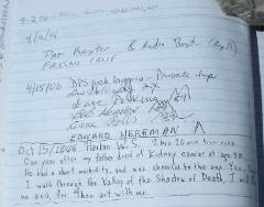
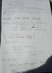
Previous entry in from 6 months before. I wonder why there aren't more visitors in the summer? |
|
|
|
|
|
|
Nevada Bob Greer! |
This space for rent |
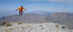
USGS adjusts elevation again, throwing me off balance. Self-portrait. |
|
|
|
|
|
View ~N, Amargosa crop circles at right. |
View E on descent. |
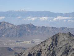
Charleston Peak to ENE. |
|
|
|
|
|
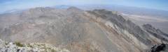
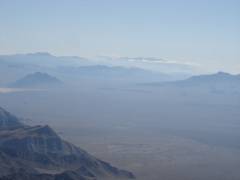
Eagle Peak (in valley at left), Nopah Range and Kingston in distance. |
|
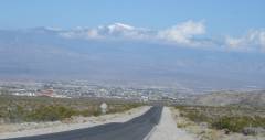
Approaching scenic Pahrump. |
|
|
|
|