San Jacinto
(10850’) CA, C2C with Snow
pics by Harlan
W.S
Nov 5, 2011
(This intro is partly cribbed from my message on the San Jacinto Forum)
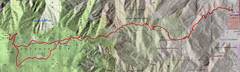
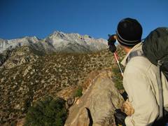
Saturday 11-05-11 was my first c2c, in fact my 1st time on San
J at all. C2C means “Cactus to Clouds” – a trip up the Skyline
Trail, starting in Palm Springs at ~500’ above sea level, with several
ups and downs, to the top of Mt San Jacinto, for an accumulated gain of about
10500’ over close to 20 miles (with hike back to tram). It is hard to
find the right time of year for this hike—either it is too hot on the
lower reaches, or too cold on the upper.
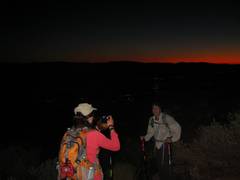
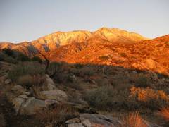
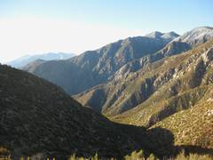
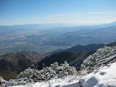
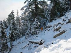
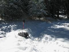
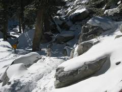
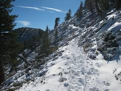
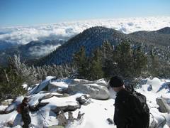
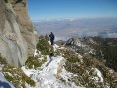
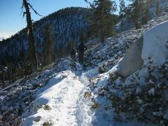
We had cool weather, with quite a bit of snow.
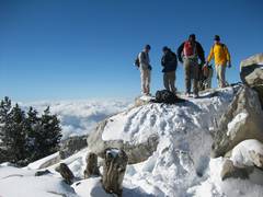
This was another wonderful trip organized by Kathy Wing and
the SoCal Peakbagger’s Group.
I Started with Mike T @4:48 with Kathy
Wing's / Gerry F's group. We hit snow on ground at 5700'. I hit the Ranger
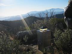
station (~8400’) at 10:45, to find no one I recognized. Waited for a
while to see if anyone else would show up, then struck out, completely
clueless about how long Long Valley was (it was another 5 mile to the summit!).
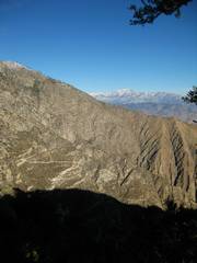
Then I encountered a confusion of trail signs, including
one sign that seemed to suggest going almost backwards for San J. The place
names were unfamiliar to me, so I headed off on what seemed to be the right
tack... going downhill. After a while I glanced at the GPS and confirmed I
had made a boo-boo. The smart thing would have been to back-track, but
instead I headed off cross-country to intersect the trail. Boy was that dumb
(though I did surprise some deer). I went over several ridges, crossed some
streams, inexplicably descended some snow-covered class 3, and a mere 0.65
miles later, was back on track, but suddenly tired.
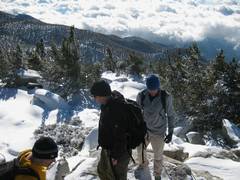
I met Mike T somewhere near 10k', and was glad to let
him pass. I started chatting with another group who had come from the Art
museum as well. I asked if they planned to take the tram down -- in
retrospect, a very dumb question-- and they looked at me strangely, which I
utterly deserved.
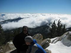
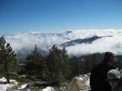
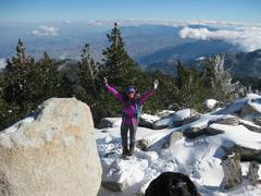
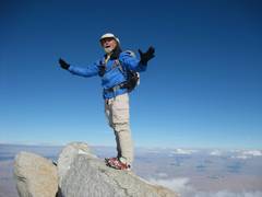
I got to the summit shortly after Mike, saw Tina (at
last someone else whom I knew!). As we descended, very near the top, Mike
started talking to Ellen. It took me a while to realize this was THE
Ellen, who had told me a year ago, via e-mail, that
someday we would meet on the trail!
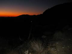
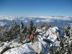
Mike and I quickly descended via the winter route-- I
actually got hot, even though the snow was starting to squeak with cold.
It was a great day, and I "met" so many
friendly people. I bathed in the rosy glow of the experience for two days,
and the interpersonal experience was definitely a pleasant part of the trip.
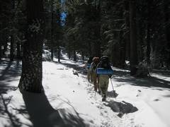
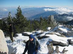
I've never done a mondo hike with so many other
people; usually I see no one else, or just a few after the summit. This was
certainly not the hardest hike I have done, but it was very enjoyable, and
felt like an accomplishment. The fact
that I cheated and took the tram down from 8500’ helped! (Hey, the sun
was setting an hour or so after we hit the tram.)
I sure did bring a lot of crap that I never used, but
hey, better safe than sorry. After reading Ellen's story
from a few years back, I've taken to carrying a 14oz (3 layer)
blizzard
survival bag. I'll be happiest if I never
use that item.
Here
are GPS tracks in gpx format. DO NOT try to open these in the web
browser by directly clicking on them; right-click (or do the Mac
equivalent) and choose a "save as" option. The up track was slightly
modified to edit out my cross-country. Here is the full gpx divided into up and down tracks; while this file has
the up track broken into three segments, reduced to <500 points each
(upload ALL THREE tracks to your gps). Save the files with a gpx extension; some brain-dead browsers will try to change the extension to xml; don't let them. Use these gpx files AT YOUR OWN RISK; no guarantees are made about accuracy.
|