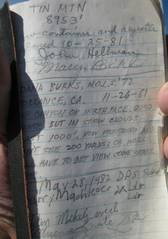
Tin and
Ubehebe mountains in Death Valley, CA
pics by Harlan W.S I went out a day early to climb |
|
My first trip was
up a decent place to set a tent, just S of the Tin-Dry Pass. It was 30F in my tent when I woke up ~4AM the next morn. |
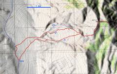
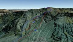
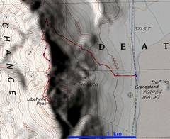
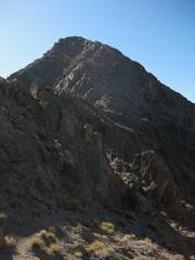
I left directly from my tent site about 6:33 AM, and took a non-standard way. The route was steeper and had a lot of class 3, but was preferable (to me) to ascending the talus of the DPS route (blue in the google earth map above). I should have come down the DPS route, as the route I took kept cliffing-out. |
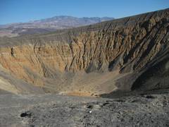
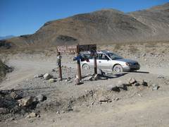
This was actually from the day before Tin. This is Ubehebe Crater, at the end of paved road. I then traveled up an easy but highly wash-boarded gravel road to my camp at 4850’, 10.5 miles away. |
|
|
|
|
|
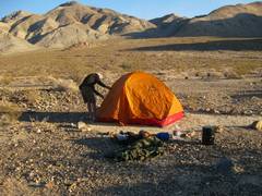
This view is also from the day before, showing my tent site. Most ground is covered with baseball-sized rocks, so this area (with gravel) was relatively great! |
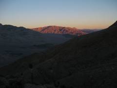
I got up early the next morn, but didn’t start hiking till after 6:30, because it was very dark. I didn’t see significant light on the mountains till near 7AM. View N. |
|
|
|
|
|
|
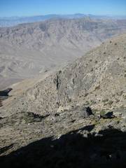
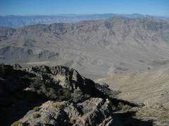
This canyon is ESE of my route. |
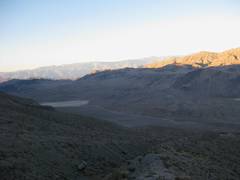
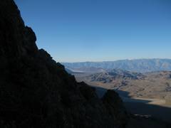
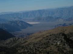
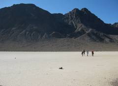
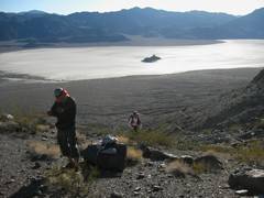
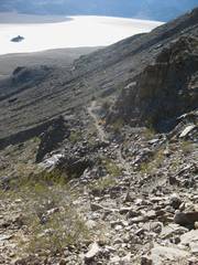
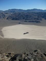
View ~S to Racetrack (white flats), which I would pass later in the day. |
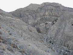
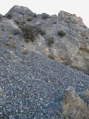
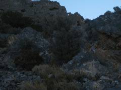
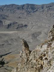
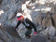
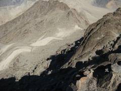
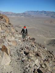
Near the top of the talus. The class 3 was a hugely welcome relief. There was no sign of previous climbers, so I was extremely careful about loose rock. |
|
|
|
|
|
|
|
|
|
|
|
|
|
|
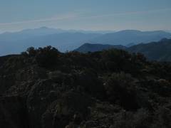
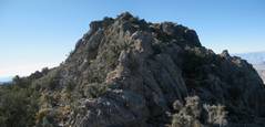
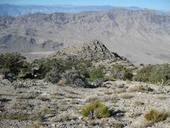
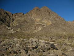
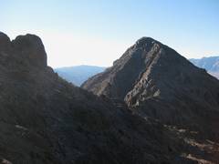
Early on, I thought this pleasant peak to S was |
|
|
|
|
|
|
|
|
I made the 4100’ of elevation gain in less than 3 hours; it was not an easy trip, but I kept my own pace and was comfortable. |
|
|
|
|
|
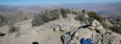
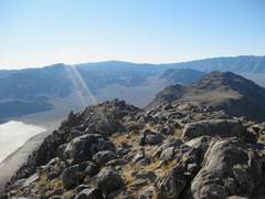
View N. |
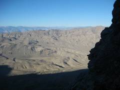
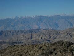
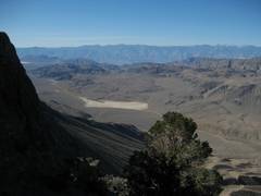
Sierra to W, |
Another view of Ubehebe. |
|
|
|
|
|
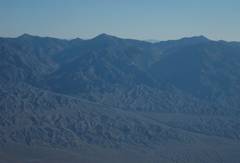
Telescope to S. |
Palmer and the Grapevines (to E)? |
|
|
|
|
|
|
|
|
I decide to go back over the ridge to the W. |
|
|
|
|
|
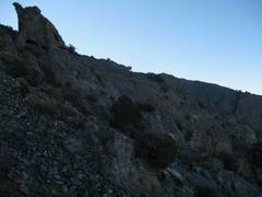
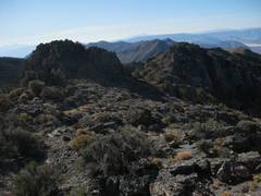
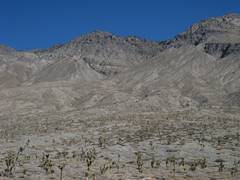
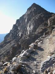
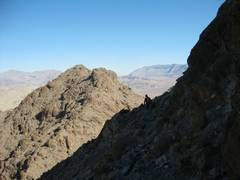
Now I know why this ridge is NOT the standard DPS route – it is rough and lumpy. |
|
|
|
|
|
|
|
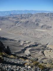
On descent, you aim for this lump and stay high but on the L side, in order to intersect the DPS route. |
|
|
|
|
|
|
|
|
Back to car, view up NE to edge of Tin (summit not visible from here). |
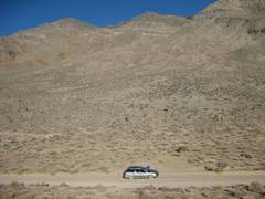
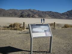
I got back to my car by noon, and waited for 2 hours for the LVMC crew. Then I headed S to The Racetrack. |
|
|
|
|
|
|
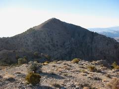
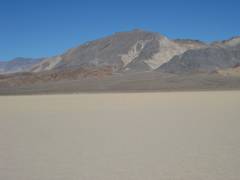
View W across Racetrack, to Ubehebe Peak. |
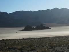
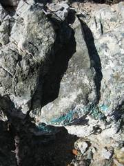
The Grandstand in the Racetrack, as well as Ubehebe, are made of intermediate composition (in terms of SiO2 content) plutonic rocks. |
|
|
|
|
|
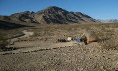
I set up my tent at the Homestake dry convinced the LVMC trip had been cancelled… |
…but the rest of the party soon rolled in. |
|
|
|
|
|
|
Next morn we went up the Ubehebe trail. I was pleasantly surprised by how neat the trail (and hike) were. |
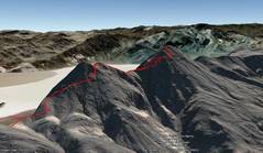
This is a Google Earth synthetic view of the back of Ubehebe. The east side is cliffy. |
View E to the Grandstand in Ubehebe playa, just after we set out. |
|
|
|
|
|
The northern
(lower) I was content to let Peppe race ahead, knowing that he would get lost at some point. |
|
|
|
|
|
|
|
Now we are at the shoulder N of Ubehebe, looking S to the lower N peak.. |
This is my 1st view of the S (higher) peak. At this point I heard Peppe shouting that he had lost the trail. |
So I caught up with Peppe, and stayed with him till just below the peak, when he rocketed to the summit. |
|
|
|
|
|
|
|
|
|
|
|
|
|
|
|
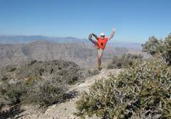
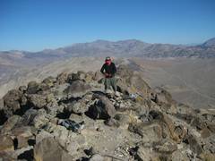
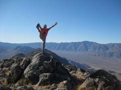
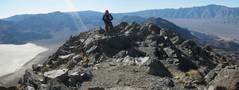
Self-portrait, view S. |
|
|
|
|
|
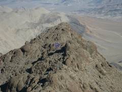
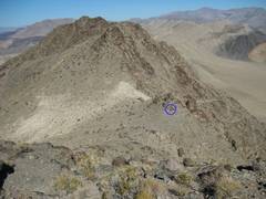
After 15 minutes, I looked N from the top, and saw HTMM (Henry the mountain man; inside blue circle). |
|
So we descended quickly, hoping to intercept Henry. HTMM said he would take his time, and eventually reached the summit. |
|
|
|
|
|
View ~S to Henry, who was still shouting instructions to me. |
After the HTMM instructions, I caught up to Peppe… |
…and then we saw Kay below (in blue circle). She had climbed the N peak, and not finding us there, had descended. |
|
|
|
|
|
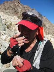
Peppe gets his daily copper; important for a 67-year-old. |
|
Peppe heads NNE down the trail, below the shoulder. |
|
|
|
|
|
I left the group, because of the gas concerns. The next day they had a splendid time at |
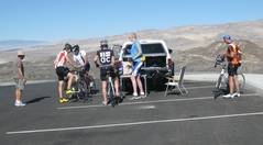
Back at Ubehebe Crater, I came across Bill Walton (former NBA star), after he finished a leg of a 200-mile bike race. |
|
|
|
|
|