|
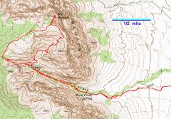
GPS trace. We went up on the right (east), through the bowl, and came down on the left (west), along the limestone-sandstone contact. |
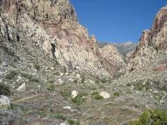
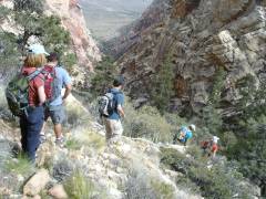
Group in the distance, view WNW as we enter the canyon. Hey, wait for me! |
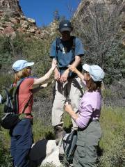
The now-standard practice of anointing the hike leader with oil. Kim and Luba discussed why women were fitter for long harsh treks. Helpfully, I related the "Adventures of the Old Woman" from Candide, ch. 12. |
|
|
|
|
|
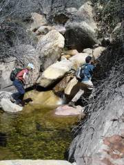
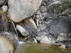
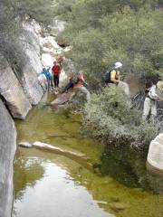
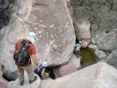
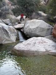
One of many water hazards. |
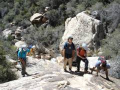
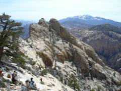
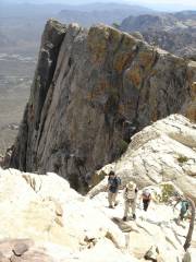
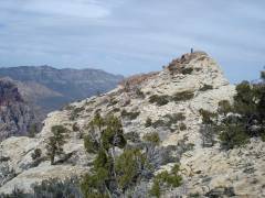
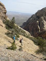
We start to cut up the slabs to the big boulder and trees, where the eastern route begins. |
|
|
|
|
|
|
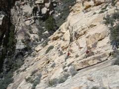
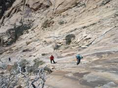
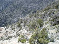
Traveling east at base of ledges. (View west.) |
Obligatory apple-Luba's-mouth picture. (More, more.) |
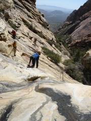
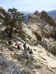
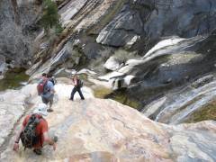
Coming up the endless slab-bowl. |
|
|
|
|
|
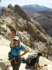
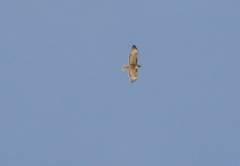
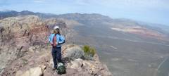
At last, on the ridge, view S to snow-covered Potosi. Luba points to a flying bird … |
…that she says is a rare Wilson's penguin. |
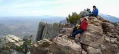
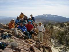
Same view S, as more folk arrive. |
|
|
|
|
|
|
View SSE from summit. |
View roughly north; Snow-covered Mummy Mt is at far left, Madre is on skyline in middle of picture, and Calico Hills are the tan and red low mountains at right. |
|
|
|
|
|
View SSE from top. |
Look at me! Look at me! My left hand is in front of Damsel Peak. |
|
|
|
|
|
|
We start to head back down by the standard route, but as we look back, we realize Special K is still on top, shrink-wrapping his feet! |
View SW, as we head down along the limestone-sandstone contact. |
Looking East at Luba and Ben (both have roots in The East). Black Mountain is visible in the distance through the gap. |
|
|
|
|
|
|
Ben and a water hazard. |
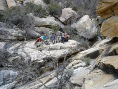
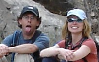
Partial group rests where the eastern and western routes converge. Can you see Josh's tongue? (More.) |
|
|
|
|
|
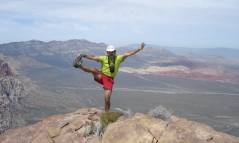
The pose. |
|
|
|
|
|
|
|
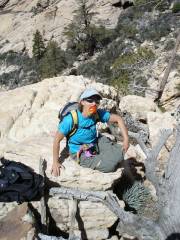
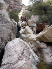
This was a wonderfully chaotic place. Vegetable holds (or sidestroke) were the only options. (Hi Luba!) |
An Imperial Snow Trooper pursues Ali and Luba. |
|
|
|
|
|
|
Evening snow, opening up for the night. |
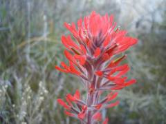
Paintbrush. |
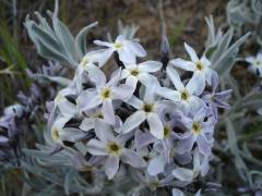
Desert blue-star. |
|
|
|
|
|
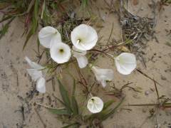
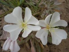
Primroses. |
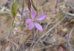
Heron's bill. |
|
|
|
|
|