Anonymous
Grey Lumps (S of Rocky
|
|
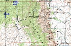
100k topo map with GPS trace. |
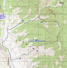
24k topo. |
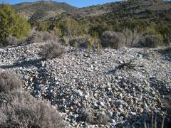
This is the remnant of an agave roasting pit used by the Amerinds. |
|
|
|
|
|
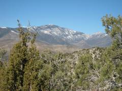
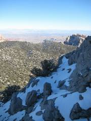
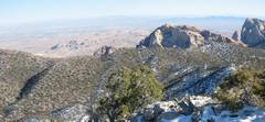
View of snow on |
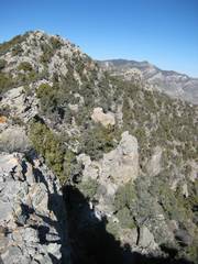
After cresting the ridge, I see the highpoint (~7485’) to the N. |
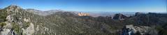
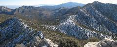
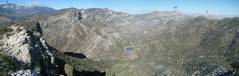
Panorama ~E; Bridge Mountain is the light tan sandstone peak near the center |
|
|
|
|
|
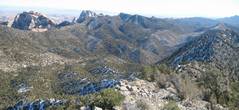
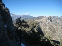
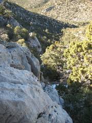
View SE over limestone escarpment. |
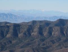
Snow-covered Telescope Peak is visible across |
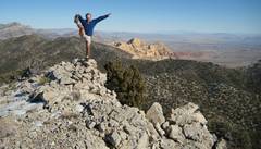
On highpoint; Bridge is tan lump just R of center. |
|
|
|
|
|
|
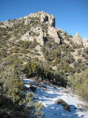
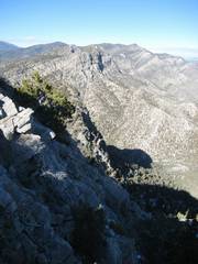
Next lump to N. |
View S to Potosi, just R of center. The N slopes were covered with cold, slippery snow. I don’t think it was above freezing all day for >6000’. |
|
|
|
|
|
View N across Rocky Gap Road (RGP) valley. Labels are above Griffith (G), on Snoopy (S), |
The limestone escarpment looks smooth. |
|
|
|
|
|
|
|
Oops. I started down too early, to avoid brush, and hit cliff bands instead. |
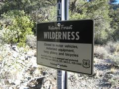
I find these signs about 100-200’ back from the road, typically in areas where no person could get a vehicle. I suspect the USFS puts them on the park boundary in inconspicuous places, simply because the obvious ones get torn down. |
|
|
|
|