Anniversary
Narrows/Peak/Bowl of Fire New Year hike
pics by Harlan W. S. Val organized a multi-day celebration of the new
year. I joined them for just one day
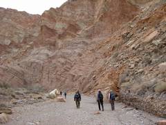
– I was still suffering a bit from my ankle ailment. Total was 9.8 miles and 1600’ accumulated gain. Ten people were there; Frank navigated most of the way. |
|
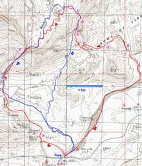
24k top map with this New Year’s GPS trace (red) and my previous trek in 2007 (blue). The letters (A to H) on the map are referred to in the subsequent views. |
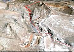
A Google Earth view from the SSW. |
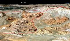
A Google Earth view from the NE. |
|
|
|
|
|
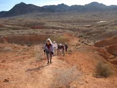
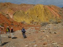
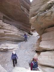
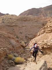
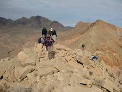
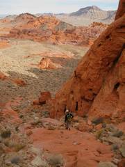
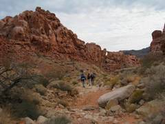
Trudging up between Park and A. Frank is behind me, leading the way. |
|
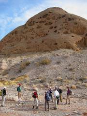
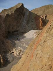
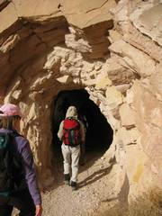
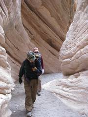
At A, the cutoff to a mine. |
|
|
|
|
|
|
|
|
|
|
|
|
|
|
In the |
|
|
|
|
|
|
|
|
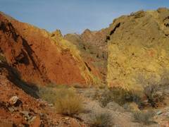
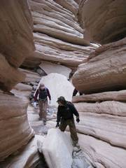
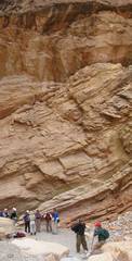
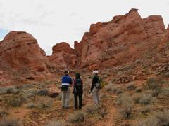
Just past B. The wall is at least twice as high as shown. |
|
|
|
|
|
|
|
|
|
|
|
|
|
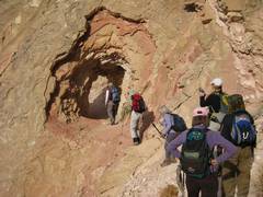
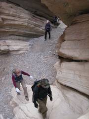
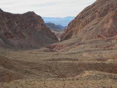
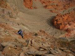
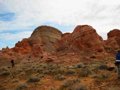
Looking back at the narrows, view from just below C. |
At C, looking NW. |
At D, the saddle, view SE |
|
|
|
|
|
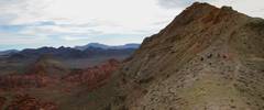
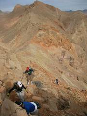
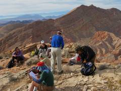
View SSE, at R. Peppe feels a compelling urge to go over the peak. At this point we deviated from the simple sure route planned by Frank, to a longer, convoluted route… but all had a good time. |
Still at D, camera-shy Val runs in front of an ESE view. |
The route up View down ENE to Bowl of Fire. |
|
|
|
|
|
|
View back to point D. |
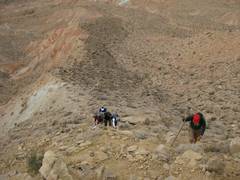
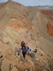
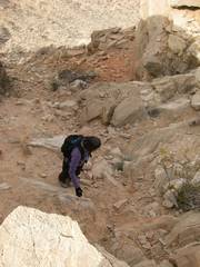
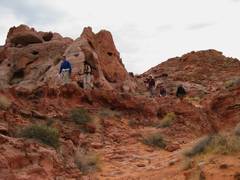
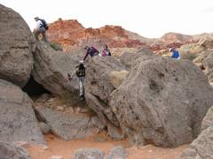
Terry bravely scrambles on. |
|
|
|
|
|
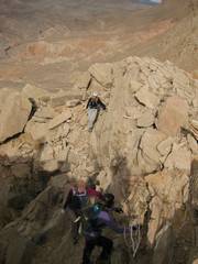
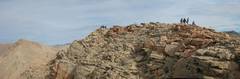
On the W side of the peak, just below top. |
At E,
view N, |
View back to E summit, from point of cliff to SW. |
|
|
|
|
|
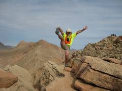
I pose on the isolated cliff. |
|
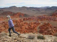
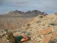
View SW from just south of point E (summit of Anniv. |
|
|
|
|
|
I cast a spell on Peppe, with a magical charm left in the register. |
View SW to “ |
View S. |
|
|
|
|
|
|
Peppe with |
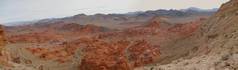
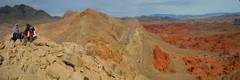
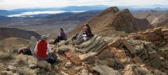
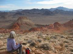
Val looks SE over Hamblin (Blackish in back), and Mt Wilson AZ (farthest) back on R. |
|
|
|
|
|
Now we begin descent to point F. Arch is visible in far distance at L. |
View down through Bowl of Fire, through point F. |
Down through F. |
|
|
|
|
|
Between F and G. |
|
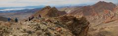
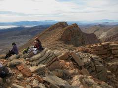
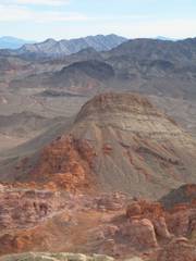
View SE near G. |
|
|
|
|
|
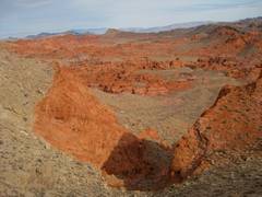
View SE near point H. |
Just after H, Susan, as always, finds an easier route around, and this one doesn’t involve brush. |
Happy New Year! |
|
|
|
|