Near
Harlan W. S. & Christine S.
(I
editted in 2023 to mention the original register. I know at least 3
people later signed that register, but in the age of manic peakbagging,
the register diasappeared, probably because someone left it out of the
cairn.) Click on any small image below to see the larger version. |
|
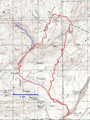
Map with GPS tracks. Blue shows the Jan 31route. Red shows the track Christine and I
took Feb 3 (8.6 miles). The rest of the LVMC group descended by the green dashed line. |
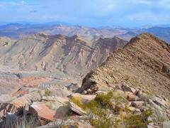
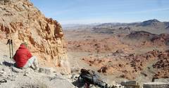
On Jan 31, I climbed peak 1041m to get this view of the prospective route (the brown arrow at left). I’m looking E from the summit of 1041m. just to the right of the saddle indicated by the arrow. are the sharp peaks in distance. I left a register proclaiming this summit as "Endless Peak." |
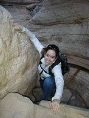
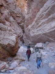
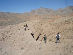
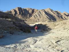
Here we are Feb. 3, entering the wash. |
|
|
|
|
|
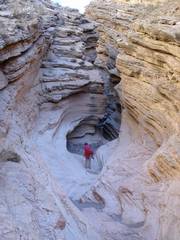
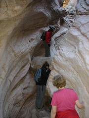
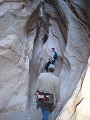
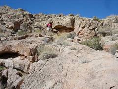
Now we enter the true narrows, and travel upstream (N). |
|
|
|
|
|
|
|
|
|
|
|
|
|
|
|
|
|
|
|
|
|
|
|
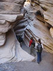
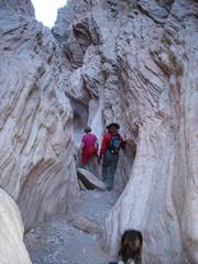
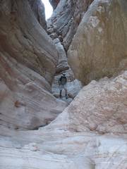
Through the Narrows, we continue N. |
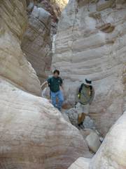
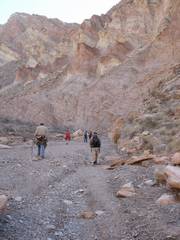
Now we've cut E out of the wash. |
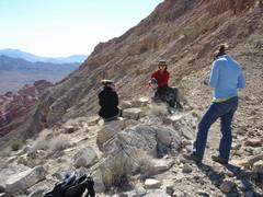
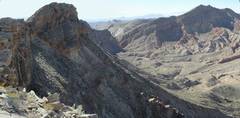
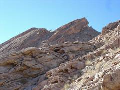
The group at the saddle; view S. The peak in the back is Anniversary Narrows Peak. |
|
|
|
|
|
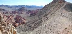
This view, ~SSE, shows part of Bowl of Fire, and the steep E slope of the saddle. Most of the group will descend L (E) here. |
|
View NE from saddle, across Bowl of Fire. |
|
|
|
|
|
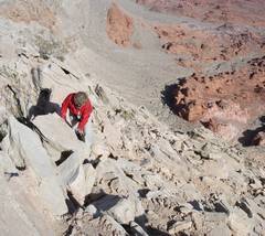
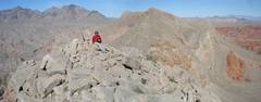
View NE at the rest of group, as Christine and I head up the peak. |
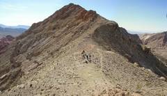
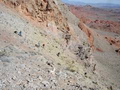
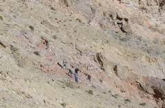
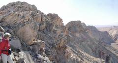
Telephoto from near the top of the ridge; part of the group circumvents a cliff. |
|
|
|
|
|
|
|
|
|
|
|
|
|
|
|
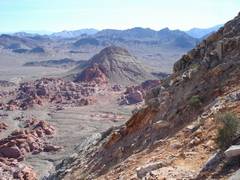
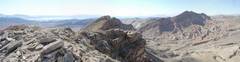
Summit view, mainly S. Lake Mead and Fortification Hill are at L; Peak 1041m is at R. In the distance and L of Peak 1041m are Frenchman Mt. and Lava Butte. |
View NNW at summit. Muddy Peak is the sharp summit at L. |
|
|
|
|
|
|
|
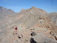
Overall, this was tougher route than the direct descent of the saddle, but there were no steep talus slopes to negotiate.Christine has a bad back, and can't handle very steep talus. |
|
|
|
|
|
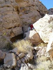
Note the bizarre overhang. |
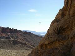
Chopper. We are just below the dryfall (see map). |
|
|
|
|
|
|
|
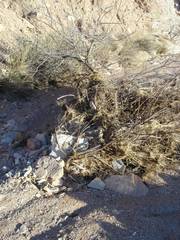
The bushes in the wash were covered with grass and rocks; there must have been a severe flood in the last year or so. |
|
|
|
|
|