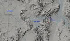
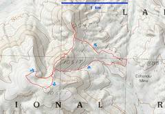
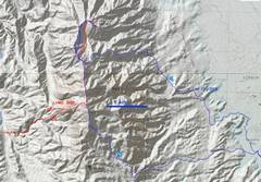
 context map |
 On the 25th, I took a stroll over some volcanic peaklets; the 2nd (northern 1051T) was the neatest |
 On the 26th, I joined LVMC for a nice trip organized by Kevin H. Kevin and Anji had scouted the route. |
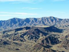
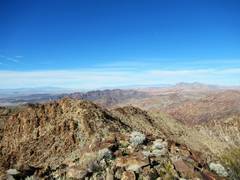
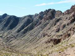
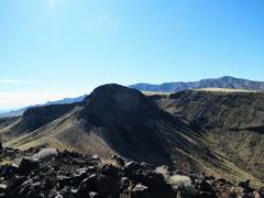 OK, back to 25th. I'm on the 1st peaklet, looking SW across 2nd (1051T) to mesa (also 1051T), with MT Wilson in back. |
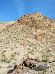
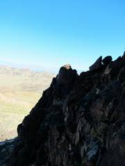 The N side of the 2nd peak was mostly talus, so I opted for a class 3 route on the cliffs |
 |
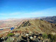
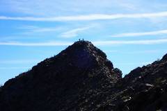
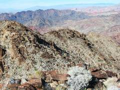
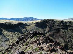 Top of 2nd peak, view to the mesa and Wilson Ridge. Route off this peak to SW was class 2. |
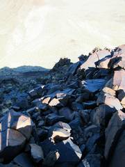
 The rock was good and I opted to climb the 1051T mesa by the cliffs. |
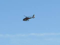 Lots of helicopter traffic, probably Grand Canyon tours. |
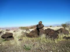 I was surprised to see a cairn on the mesa... |
 Turns out Kevin and Anji were there recently! |
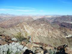
 View E over 2nd peak, my fav of the 3. |
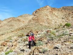
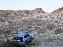 My camp, as I wait for LVMC next morn |
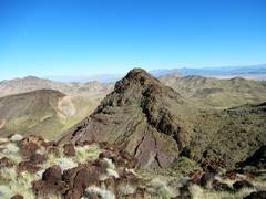
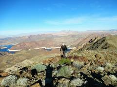
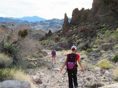
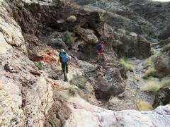
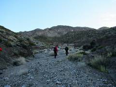 We head ENE up a wash; the Arch Range highpoint is in distance. |
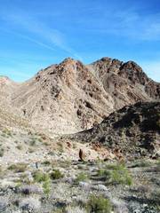
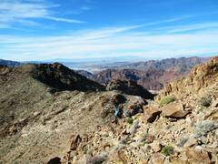
 We had to surmount a separate peaklet on way to highpoint |
 View NNW as Rich arrives |
 |
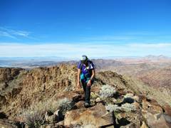
 View west to my hike on previous day. Wilson Ridge in back. |
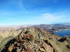
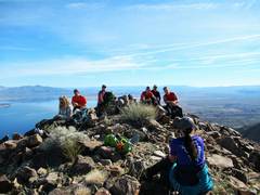
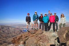 Out-of order shot of us all on range HP |
 |
 Kevins pic of Anji and me on next pealet N |
 Anji heads N |
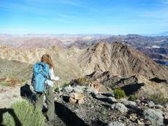 Anji views true (USGS) Arch Mountain. We all decided to drop down, rather than take the annoying ridgeline. |
 True Arch. We lost about 600-700', but we would have had an accumulated loss of almost that much if we had stuck to the ridge and its knife-edges. |
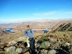
 Magically, I'm on true Arch. Hamblin Mt is dark mass near center, Muddy Mts in back R. |
 View N across Guardian to the red on Sent Peakinel. |
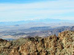 Snow on Charleston range |
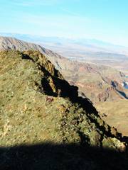
 The nasty ridge I took in 2008, but avoided in 2020 |
 |
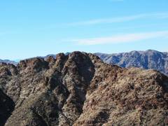
 Amber summits |
 On top of USGS Arch |
 Anji heads back W |
 The nasty ridge, as we head back down into the valley |
 Suddenly, I'm looking E at our ascent route up to HP. |
 |
 Heading back, walking WSW in wash |
 |
||