|
|
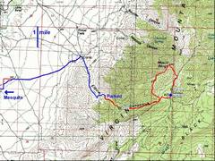
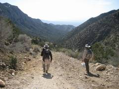
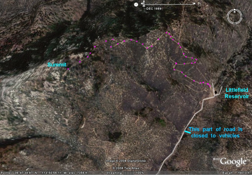
Red GPS trace is the hike. We parked at ~4000’, but probably could have driven to 6400’. |
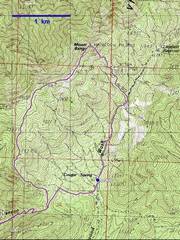
Detail of the upper part of the hike. We went clockwise on the loop. Here is an easier hike, using human/cow paths. |
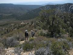
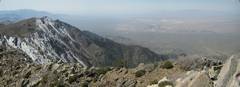
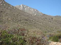
View S, ~6600’ We came up a road just in front of the snowy hill. |
|
|
|
|
|
|
|
|
|
|
|
|
|
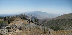
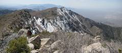
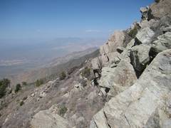
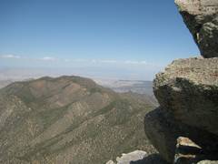
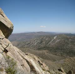
View S, |
|
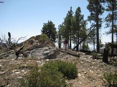
Ponderosa stand near 7400’. |
|
|
|
|
|
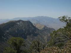
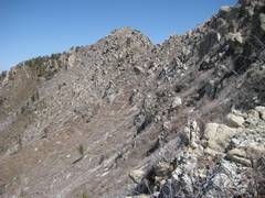
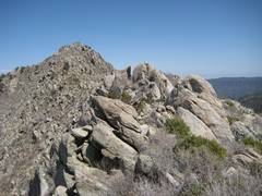
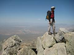
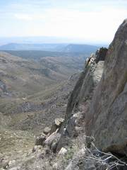
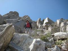
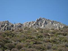
View N to summit. |
|
|
|
|
|
|
|
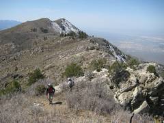
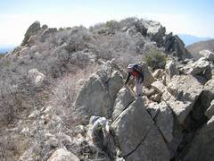
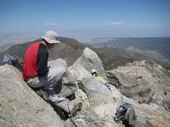
View N to summit. |
|
|
|
|
|
|
|
|
|
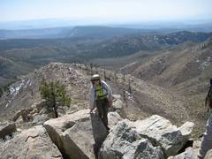
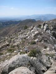
View N near summit. |
|
|
|
|
|
|
|
|
|
|
|
|
|
|
Littlefield Reservoir is the small pond in the clearing below. |
|
|
|
|
|
|
|
|
|
|
|
|
|
|
|
|
|
|
|
|
|