El
Bastardo (Peak 7986' in Madres) from SW
Harlan W. S. This is yet another loop trip on “La Madre
Mountain”. The intrepids from a
local hiking group – the mysterious oecn eleven – had completed
this loop perhaps a month before, and inspired me. I found their tracks (and
a pair of running shorts). This is a rough hike – 11 miles and about
4600’ accumulated elevation gain, much on an up-and-down rough ridge
with no trail. I chose a day when |
|
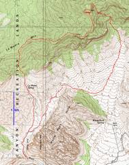
GPS trace. I went clockwise. |
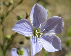
Flax. |
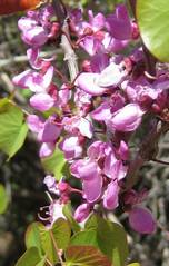
Redbud. |
|
|
|
|
|
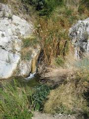
The creek near La Madre Spring was surprisingly full. |
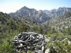
View over the miner’s cabin to |
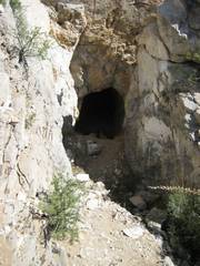
One of two shafts several hundred feet up the hill. |
|
|
|
|
|
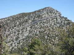
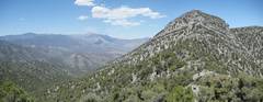
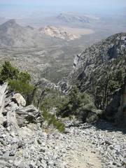
After much trudging along the ridge, I glimpse El Bastardo (7986’). The “obvious” route from the topo map would be along the right-hand ridge. As you can see, that route is blocked by overhanging cliff bands. I looked for a long time for a non-technical route through the bands. It is best to traverse left early and walk around the bands. |
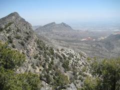
View back S to “Snoopy” is at R, but his face is not obvious at this angle. |
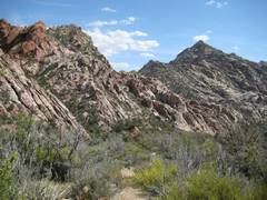
Steep slopes en
route; in background. |
|
|
|
|
|
Damsel/Pincushion in distance. |
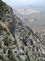
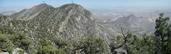
View N to El Bastardo, and W to |
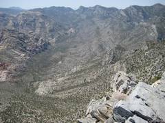
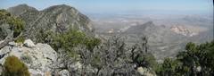
View E from the top of El Bastardo. The leftmost peak is La Madre, then to right is El Padre, then Greycap, Turtlehead and in the middle distance. |
|
|
|
|
|
A similar photo with La Madre (LM), El Padre (EP), Greycap (G), Turtlehead (T), and Calico Peaks (C). El Bastardo had an OPS register on top, but the only signature was from The mysterious Hugh de Q. |
View SE down the descent gully on the E side of El Bastardo. For more on this gully, look here. |
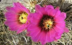
Strawberry hedgehog cactus. |
|
|
|
|
|
I’m finally back down to the White Rocks Left is Right is White Rock Hills. |
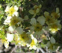
Cliffrose. |
|
|
|
|
|