|
|
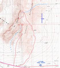
The red is the GPS track for my hike. The blue curve at the top is the “traditional” route to North Bat
(aka blue dots at lower left show the better canyon that I originally planned to follow. I started ~9:40AM. |
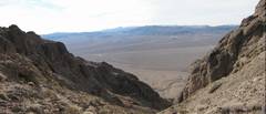
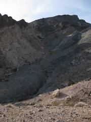
View N. At the last moment, I deviated from my plan to go up the westernmost canyon (blue arrow), and chose to go up the canyon in the conglomerate (brown arrow). At L is South Bat, made of Paleozoic carbonates (~360 My old). At R are much younger, coarse reddish conglomerates of the |
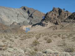
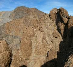
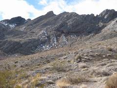
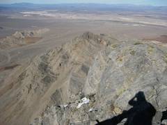
The canyon itself wasn’t bad, but it dumps you out on the pinnacles (above left). |
|
|
|
|
|
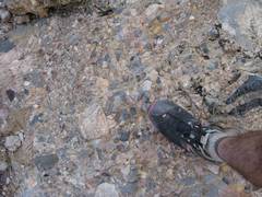
Many of the clasts in the conglomerate are made of Paleozoic limestones. The conglomerates were formed by rapid erosion of the older rocks, and may represent alluvial fans. |
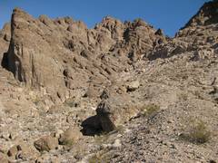
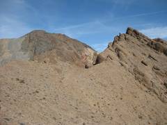
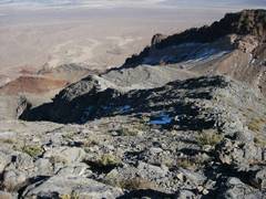
Top of the conglomerate canyon, view S. |
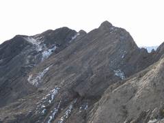
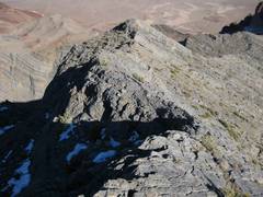
start of the creepy ridge one must traverse. |
|
|
|
|
|
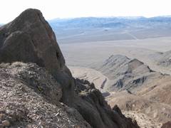
View back S over lump from previous picture. The N side is actually the creepiest. |
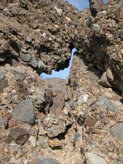
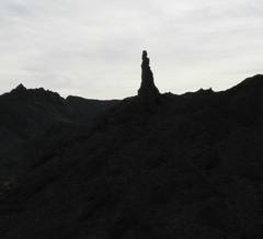
Bat through a window in conglomerate. |
I’ve drawn a brown dashed line to delineate the edge of the cliff. Beyond the edge is a drop of at least 100’. |
|
|
|
|
|
Looking back SSE over creepy conglomerate ridge. |
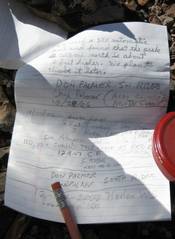
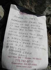
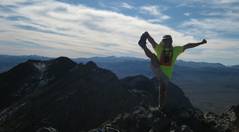
On top of South Bat; Don Palmer had also signed in many times on the other pages. |
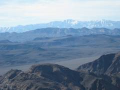
View to
snow-covered |
|
|
|
|
|
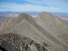
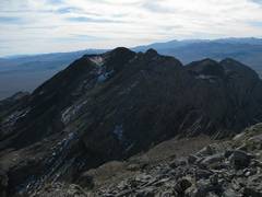
Now I look to the N. At R is the ever-so-slightly higher North Bat. Initially I planned to go along the knife edge. The view from the intermediate, darker gray lump is two photos down. |
Looking back S over South Bat. |
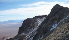
I’m looking N from the dark gray lump. I realize that the N edge of this lump is a nearly shear drop of ~50-100’, and there are snow and ice pockets on the NE sides of the steeper stretches… so I head down to 4100’ in the basin to E, to start up the north summit. |
|
|
|
|
|
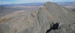
View UP and W, at the ridge I avoided. The drop off the dark lump is visible just L of center on the skyline. |
View back S. The apparent high point, is actually the intermediate dark gray lump in previous photos. |
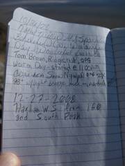
Log on top of N peak. |
|
|
|
|
|
|
View back over S peak. |
Telescope from N peak. |
|
|
|
|
|
|
View N. |
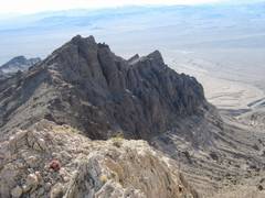
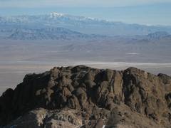
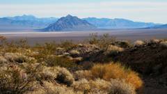
This is the conglomerate lump where Snownymph got stranded; the west side is rimmed with fearsome cliffs. The snow-covered peak is Charleston, NV. |
|
|
|
|
|
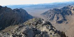
The W side of the range has a huge cliff. You can’t safely get a good photograph of this drop. |
The successful Snownymph route goes down the limestone and L (N) of the dark shadows on the brownish conglomerate. |
Decent on the edge, back E to the pass. |
|
|
|
|
|
I was a bit worried about the time, so I opted for a descent down another canyon SE. I actually stayed on easy ridges almost all the way, as the canyon looked to have numerous big dryfalls. |
A look back UP and W at South Bat. |
There are lots on interesting conglomerate formations on the way. |
|
|
|
|
|
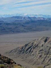
Finally I’m back at the Bajada, and I cut right over many shallow washes, to get back to my car on rte 190 ~3:20PM. This view is SE to with the Nopah Range at L. |
|
|
|
|
|
|