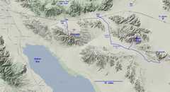
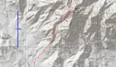
 The LVMC was scheduled to try a bunch of peaks in this area, ending with Black Butte and Chuckwalla. I jumped at the opportunity to make this long lonely drive with other vehicles. As it turned out, I ended up being the first person to reach the campsite for Black Butte, and really pushed my 2003 Subaru wagon (7.3" clearance) too hard. No damage, but it is a creepy road. |
 I misread my waypoints, and went well beyond the old DPS 2wd trailhead. I came to a significant washout, backed up the car, and somehow found a tent site amid teddybear cholla. I fell asleep early, and Eric and Bart showed up at 7PM, laughing a bit that I driven that far. The other two drivers sensibly parked lower. |
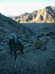 Next morn we started out early, before 6:30AM. It was unseasonably warm, and we had two peaks that day. |
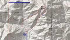
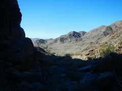
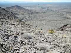
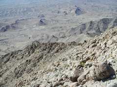
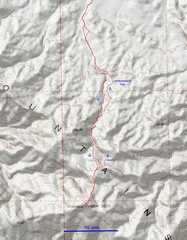
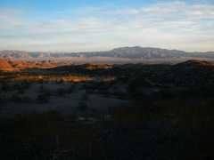
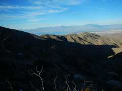
 A bit later in the morn, view SW over the road in. Our upper camp is barely visible in the blue circle. |
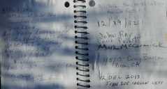
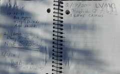 The previous day, two of the folks had gone up Rosa Point, and found the register contained lots of entries that defamed the builders of cairns. |
 |
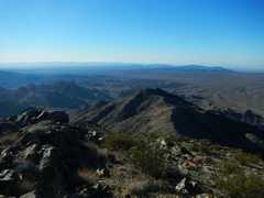
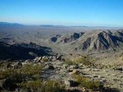
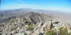
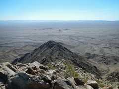
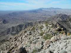
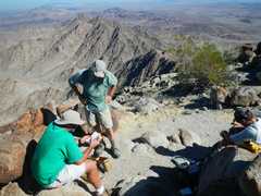
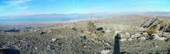
 Summit view from Black Butte, ~ south. |
 |
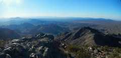
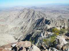
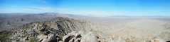
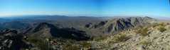 This wide panorama is roughly centered on the southwest. |
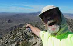
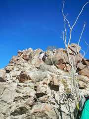
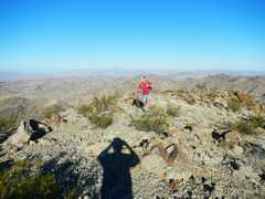 Eric comes over the top. |
 |
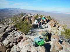
 We start descent. I was anxious to get back to my car early so I could do road construction, to avoid deconstructing my car. |
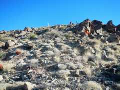
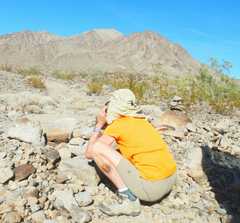
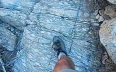 almost-boudinage in the gneissic ?meta- granites? |
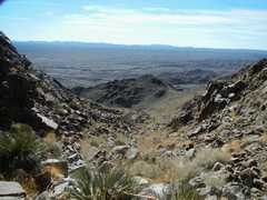
 View down the wash. I got to my car and miraculously drove out. |
 Next we headed to Chuckwalla. This drive was a relative cakewalk. I recognized the profile fron Zdon's "Desert Summits" guide; when I first read the description 8 years ago, I thought, "3446 feet?!" I'm never climbing that! But the mountain looks pretty impressive on the drive. |
 |
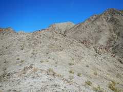
 We decided to head up left (N) of the normal DPS route, to take the ridgeline. This way is decidely not class 1, but is lot more scrambly. The ridge also offered some breezes. |
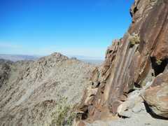
 The summit is the lighter-colored lump in back. |
 View NW from ridge route. |
 Black Butte is in back at left. |
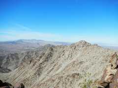
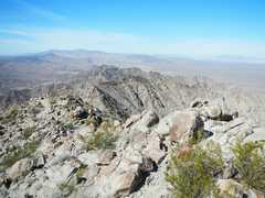
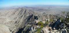
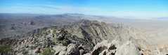
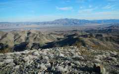
 On top! Panoramic view centered ~ NW. |
 |
 |
 |
 |
 |
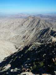
 The ESE side of the peak is decidely more dramatic. |
 |
 View ~ SE. |
 |
 Panorama centered roughly north. |
 |
 Joel (green dot) comes up ridge. |
 |
 |
 |
 |
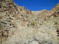
 Heading down, we decided to try the DPS wsh route. The other folks went down a short ways, then went back to the ridge. I headed down the wash, as I was already about 200' lower. |
 Wash route near bottom, view ~SW |
 Wash route, view ~NE. (uphill) |
 Lorraine takes a photo of penguin, with Chuck in background. |
 I headed the 35 miles of dirt roads back to route 10, then headed west to the Joshua Tree exit (168), thence S to the Orocopia 4wd trailhead. I set up camp; this was a nice and relatively luxurious tents site, compared to the previous night's cholla-fest. |
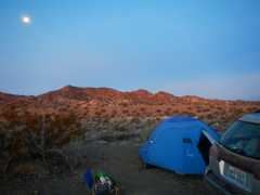 Next morn, I took a blurry photo of my camp in very dim light.. The waning gibbous moon was still pretty bright. |
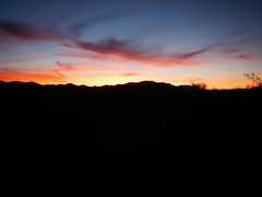 The sun had not yet risen (view SE) |
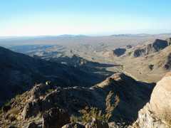
 View N toward JTree and Eagle Mt. |
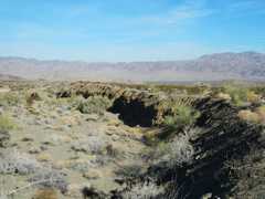
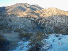 I heard all sorts of rumors about catclaw, so I stayed well east of the wash as I headed S to the mountain. |
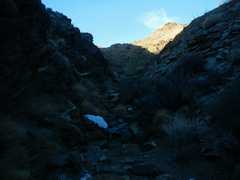 I enjoyed the cool shadows of the wash. |
 View back ~N on the shaded wash. |
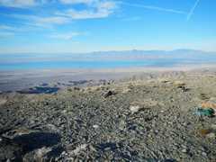
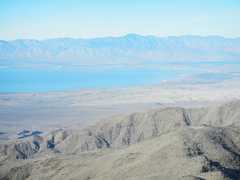
 Salton Sea appears to SW. |
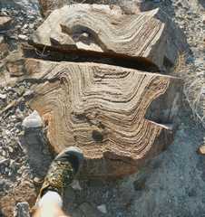 Lots of gneiss and some shistose layers. |
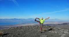
 On top! View SW over Salton Sea to Rabbit. |
 fuzzy... this is a still from a movie. I didn't get the focus quite right. My surgery was in the groin area, so I was restrained. |
 pano centered ~west |
 View to NNW. |
 |
 |
 |
 zoom of rabbit across Salton Sea. |
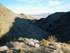
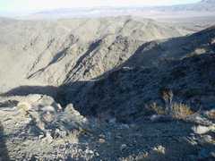 Descending, view ~N. |
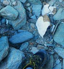 I saw a few tortoise shells. Earlier... |
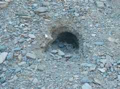 I had seen tortoise burrows in the gravel at the bottom of the wash, and wondered how tortoises dealt with sudden gully washers. |
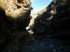
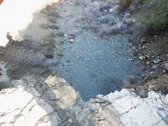 I decided to take the wash longer on the descent, and discover a 30' vertical dryfall. |
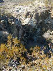 I climbed east to exit the dryfall, then took this picture of the fall when I was NE of it. |
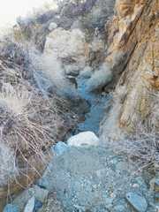 |
 The wash stayed pleasant and shaded. |
 You can see my tent and car. |
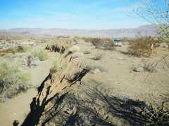 Tent and car again. |
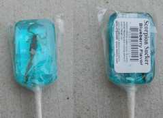 I have always been fascinated by these lollipops one can buy at Vidal Junction. |
|