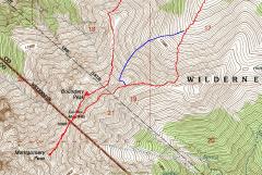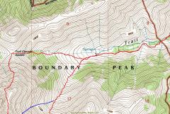
GPS trace from trailhead (right side) to ridge. The northern route through Trail Canyon Saddle is the normal route. |
GPS trace of the route along the peaks. For the descent, we cut south of our approach route. Some descended approximately on the blue line; others on the more southern red line. |
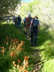
Starting out near the trailhead, ~8:15 AM. Orange paintbrush and orange-and-yellow columbines (in back) line the trail. |
|
|
|
|
|
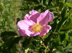
The lower part of the canyon was full of pink wild roses. |
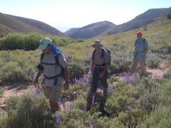
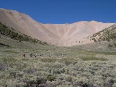
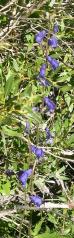
View E, with blue-purple lupines and 3 intrepids. |
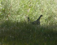
Grouse. |
|
|
|
|
|
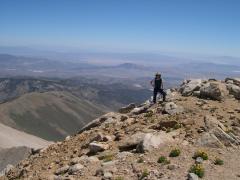
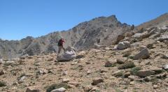
View SW, ~at descent point. |
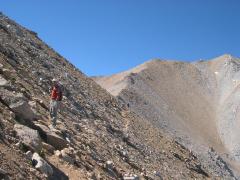
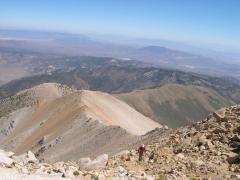
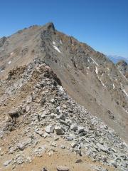
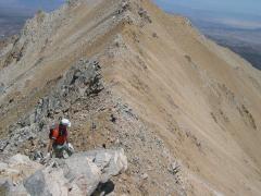
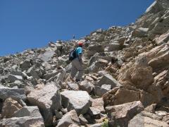
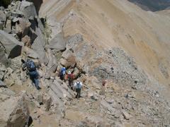
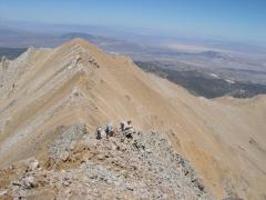
Now we start climbing in earnest. Boundary is the lump at back right. |
View ENE, back down Trail Canyon. |
|
|
|
|
|
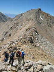
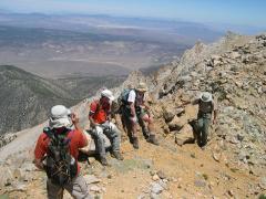
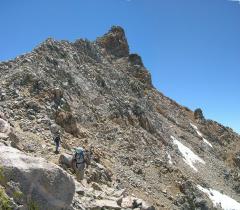
View NE, at the talus-covered ridge. |
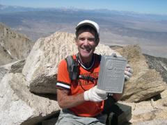
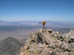
Nick on top. Mammoth Mt is behind Nick's head.* |
Kim. |
|
|
|
|
|
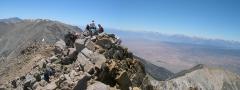
Panorama -- the group is on Boundary Peak, and the sharp peak at left (in the background) is Montgomery, our next destination. |
Starting to head from Boundary to Montgomery. I got called back to take photos of another hiker... |
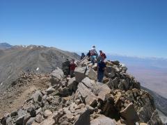
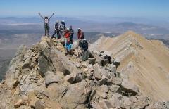
…OK, I'm finally done with the photos, where is everybody? (There are 7 people in this picture!) |
|
|
|
|
|
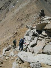
Descent… |
Almost at the col… |
A minor lump on the way… |
|
|
|
|
|
Looking back east at Boundary… |
View NE at a rest stop. |
I walk east to look for the rest of the party, then… |
|
|
|
|
|
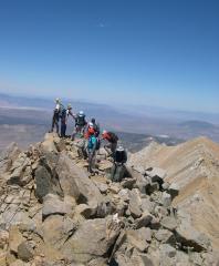
…turn around… Where is everybody? (There are 4 people in this picture!) |
|
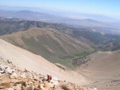
On top of Montgomery, view SW; the snow-covered mountains to the right are the Sierras of California. The leftmost peak is White Mountain, 14246'. |
|
|
|
|
|
|
View N, standard cerebellum check for Harlan. 75% full on right side. |
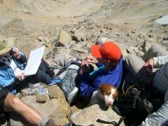
Daisy, the wonder dog, with Josh (orange cap). |
|
|
|
|
|
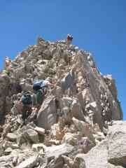
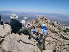
View N with people. |
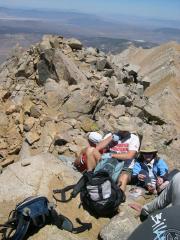
Kim girds her toes. |
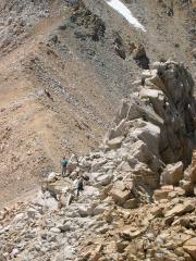
A precarious perch. |
|
|
|
|
|
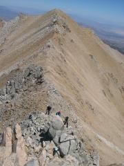
View NNE. The group is now on the N side of Montgomery. Boundary is visible in back, on the right side of photo. |
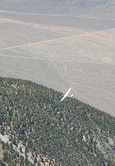
A glider (visible at top middle of photo) comes by for a strafing run. |
Glider, now below us. |
|
|
|
|
|
Descent. |
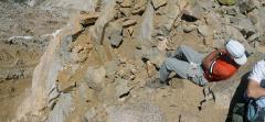
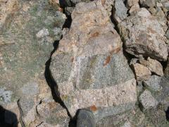
Granitic veins in a darker, more mafic granitoid. |
More descent, view NE toward Boundary. |
|
|
|
|
|
View back SW at Montgomery. |
After the death march traverse, Jim raises his eyes to the heavens. |
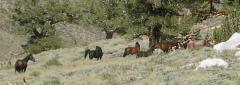
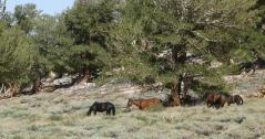
Wild horses. Our resident Classics Major warned us about these. |
|
|
|
|
|
|
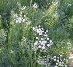
The valley had a stream lined with these, which appear to be a variety of water hemlock -- a very poisonous member of the carrot family. |
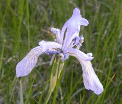
Irises were abundant. |
|
|
|
|
|
Monkshood |
|
|
|
|
|
|
|
Special thanks to Josh and Kim, who organized the hike, and were experts at herding cats. |
||