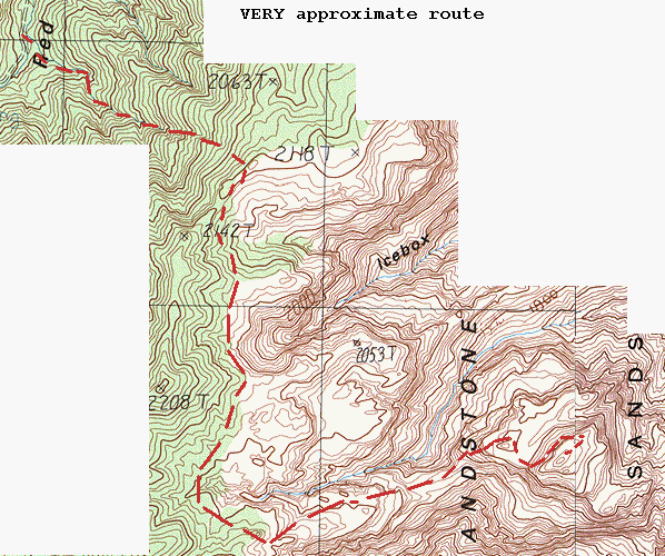
 Topographic map
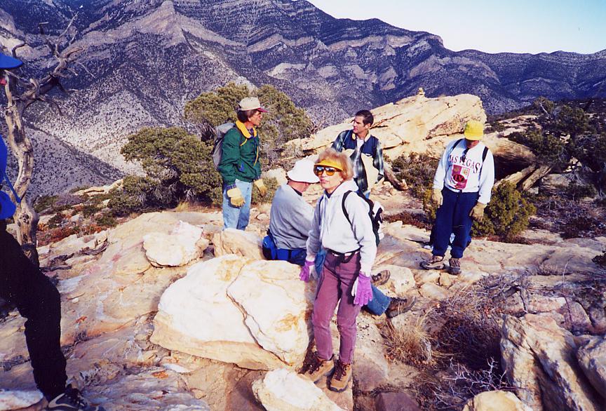
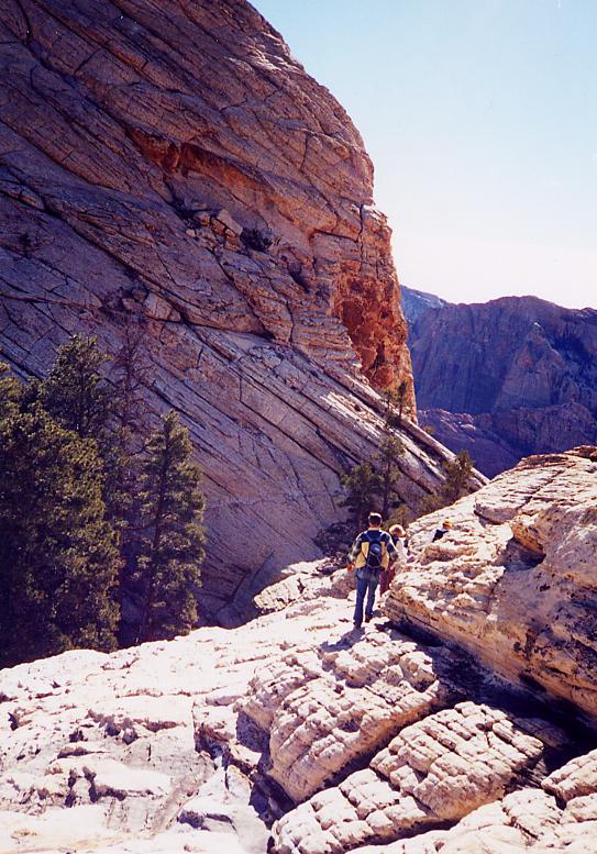
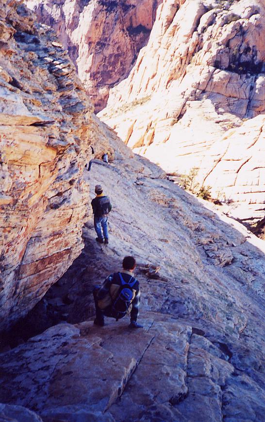
Looking NW, from the ridgeline, just after emerging from N. Peak Wash. It was hard to get these folks to stop long enough for a picture.
Here is the same photo, but scanned from the negative, to counter cropping.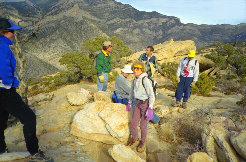
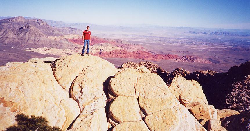
Looking east toward Bridge.
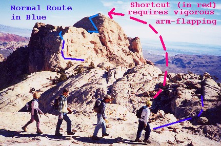
Click here to see the traditional route, and the new shortcut route.
 Aerial photo of top of Bridge (terraserver.microsoft.com)
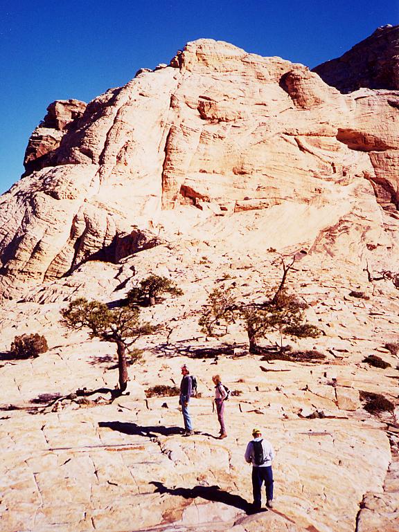
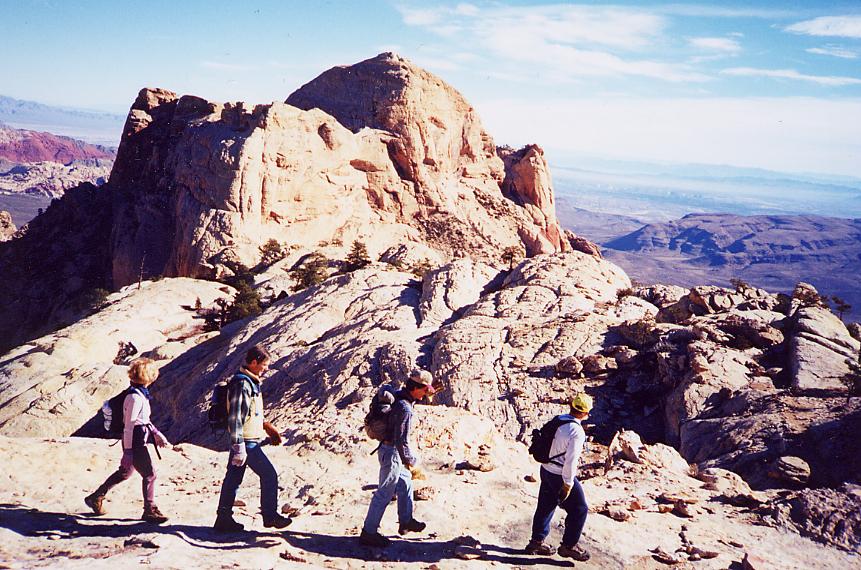
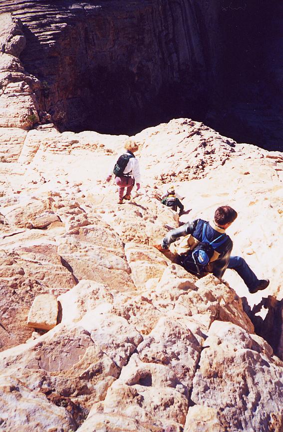
At the base of the west peak of Bridge.
Click here to see the route (no fooling). Looking NE.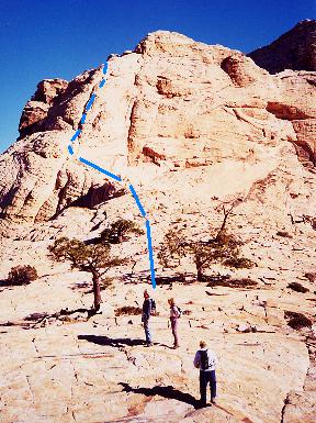
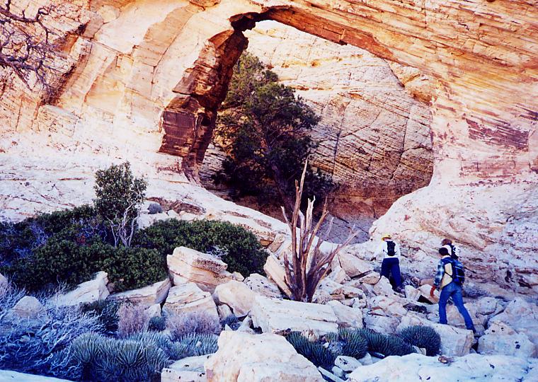
A natural bridge on the western peak. I wonder if the people who named the peak (after General Artemis J. Bridge) were aware of this ironic coincidence.
At the base of the eastern (higher) peak of Bridge. Looking SE.
Click here to see route.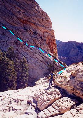

Looking SE. From left to right: Doyle, Peter, Eva, Richard, Nick. This was the first seating for dinner on the summit; the rest of the crew had reservations 1 hour later.
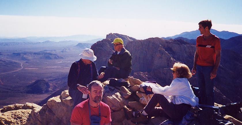
Looking SE. From left to right: Doyle, Harlan, Peter, Eva, Nick. Mount Potosi is behind Nick's head**; Rainbow Wall and Mt. Wilson are behind Peter.

View to the SW. The limestone overthrust ridge is visible in the background.
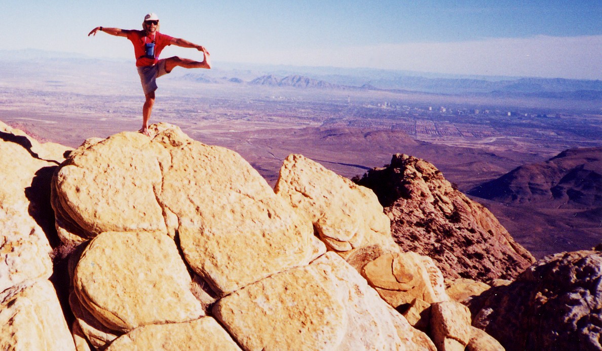
Looking east toward Vegas (the Stratosphere is visible in the middle distance). When you can walk on the rice paper without tearing it, only then you may leave the summit of Bridge Mountain.
Looking ENE toward Nick, who has just pushed Pat Morita off the cliff. Calico Hills and Summerlin are in the background.
Descending from the higher eastern peak of bridge; looking SW. The camera is aimed ~45 degrees from horizontal.
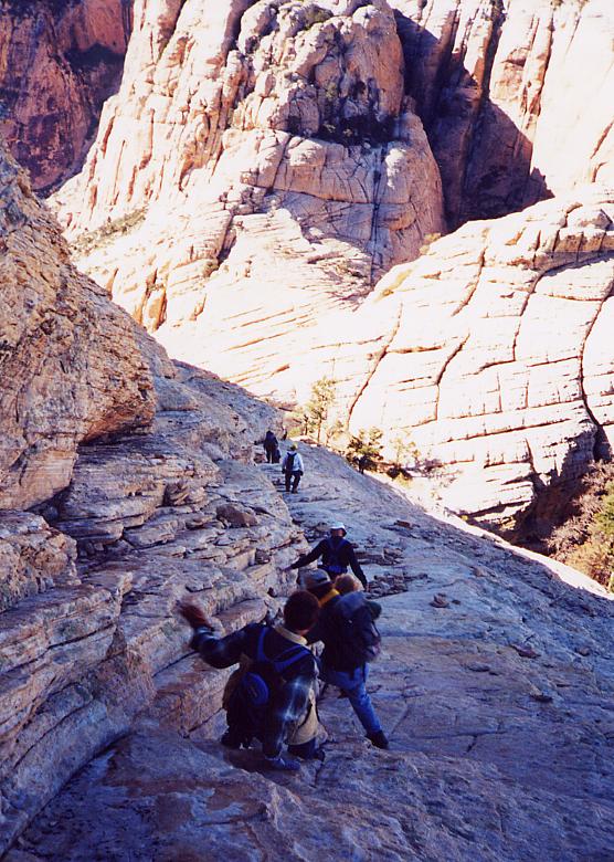
Still descending, we meet the rest of the crew, who will be dining in the second seating.

Almost done with that part, can rest easier now… oops… AA-II-EEEEEE! (Bounce, bounce, roll, bounce.)
Descending from the western peak of Bridge. The camera is pointed ~45 degrees down from horizontal. What appears to be a deep, dark abyss, in the upper right corner, actually is a deep, dark abyss. Off to the left is a deep, well-lit abyss.
*As everyone knows, 01-01-01 is binary for 21, a very special number in Vegas.
**Mount Potosi is behind Nick's head in this picture; but in general, Mt. Potosi is not behind his head, else he would have a hard time sleeping.