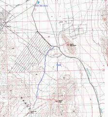
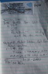
Brown
Peak CA, near Death Valley Junction
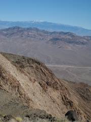
pics by Harlan W. S. & MAH This is another peculiar DPS summit, east of The DPS guide is oriented to folks driving from southern |
|
|
|
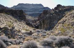
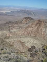
As you head E in the main wash, you can see the table just S of the main summit. The table is made from alternating layers of brownish compact volcanic rocks, and whitish volcanoclastics. |
|
|
|
|
|
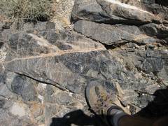
There are numerous dikes of obsidian. |
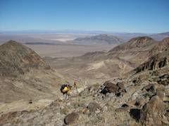
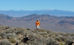
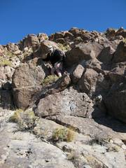
Ali heads SE on the ridge, near 4300’. |
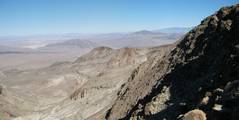
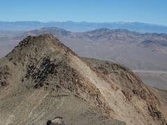
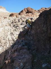
View S on the last steep rib to the top, ~4800’ |
|
|
|
|
|
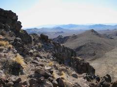
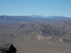
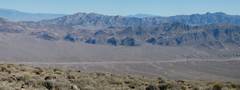
View N, ~4800. |
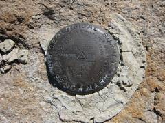
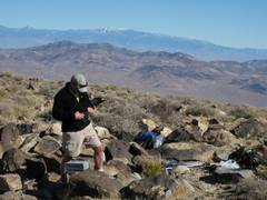
The survey was
probably relative to the town of |
Recognize anyone? Oops, took the photo before Ali signed in. |
|
|
|
|
|
The previous page. Incipient Sparkles. |
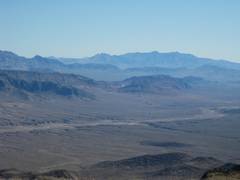
WNW to |
Resting |
|
|
|
|
|
The |
|
|
|
|
|
|
|
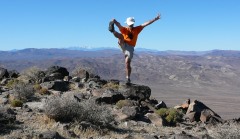
I practice my kicks, in preparation for the Superbowl. (MAH photo.) |
To |
Nopah again |
|
|
|
|
|
|
|
|
|
|
|
|
|
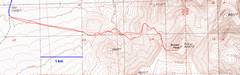
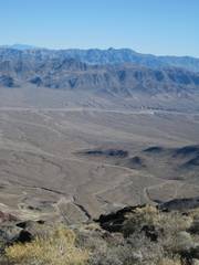
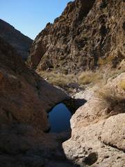
We came directly down the big wash, instead of sidehilling, and found a few dryfalls, which one could bypass. |
Water! |
|
|
|
|
|
|
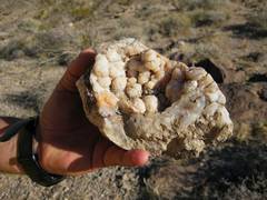
Chalcedony geode. |
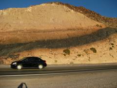
On the way back to Shoshone, there is an obsidian sill in the tuff, and the latter is baked pinkish. |
|
|
|
|
|