|
|
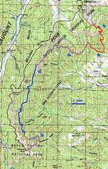
100k map with GPS track; each color corresponds to a day, and roughly corresponds to the border colors around the photos. The GPS mileages corresponded closely to mileages claimed by the park service for days 2,3 and 4; but the GPS mileage for day1 was 5.5, vs. 4.4 given by NPS |
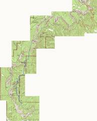
24k map with GPS track; each color corresponds to a day, and roughly corresponds to the border colors around the photos. |
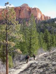
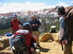
Day 1: late start, and we prepared for a short trip to the third Yellow Creek camp site. |
|
|
|
|
|
|
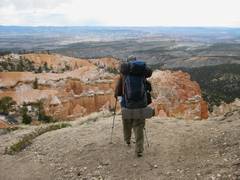
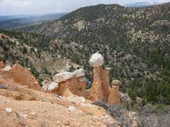
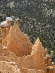
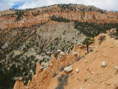
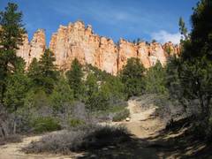
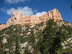
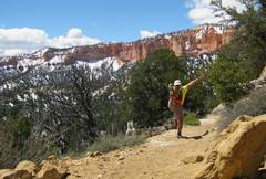
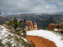
The Hat Shop. |
|
|
|
|
|
|
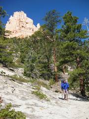
Susan is barely visible at R. |
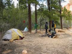
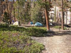
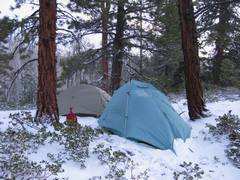
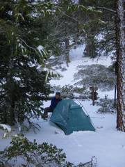
Yellow Cr campsite for 1st night. Temps were no more than 20F that night, and it snowed a little. |
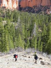
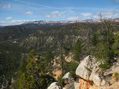
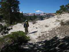
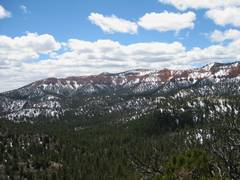
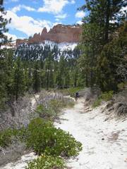
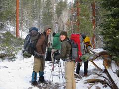
Day 2. |
|
|
|
|
|
|
|
|
|
|
|
|
|
|
|
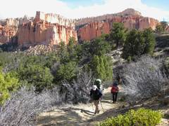
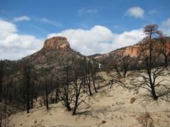
There was a significant burned area by Pasture and |
|
|
|
|
|
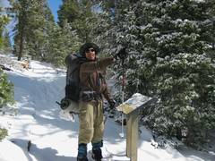
Campsite at the S
end of José and I had cached 12.5 L of water on day 1, by descending the Whiteman trail from the Rim road. |
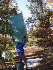
Day 3: Susan shakes out her tent. |
|
|
|
|
|
|
|
|
|
|
|
|
|
|
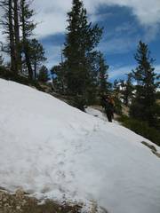
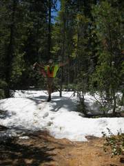
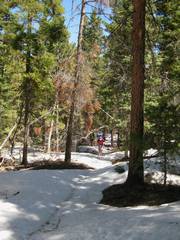
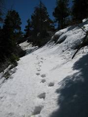
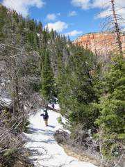
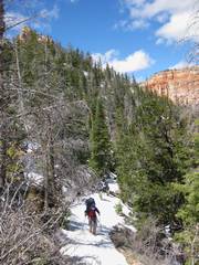
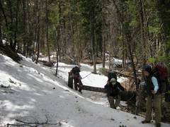
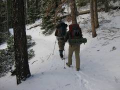
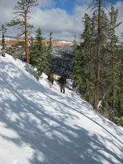
Much of this day was through snow that had collected in the forest. |
|
|
|
|
|
|
|
|
|
|
|
|
|
|
|
|
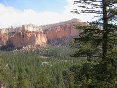
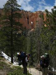
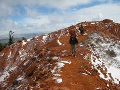
We’re on a highpoint just S of to the S are a bit snowy. |
|
|
|
|
|
|
|
|
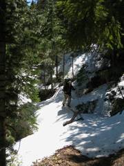
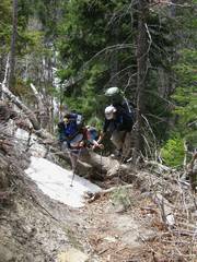
The trail had many, many downed trees that blocked progress. |
|
|
|
|
|
|
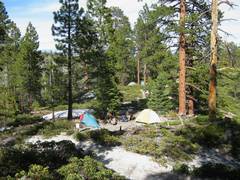
Our campsite for the 3rd night, by Iron Spring. We actually used a stream about 0.3 miles to the N, as Iron Spring was pretty disgusting. The weather seemed to be improving… |
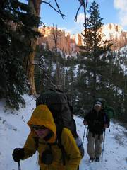
Day 4: The previous night, fierce winds and blowing, fine snow left our camp cold and wet. |
|
|
|
|
|
|
|
We had snow all the way out, except in a few short stretches. |
|
|
|
|
|
|
|
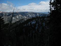
A view to the SE showed that the snow had reached way down to ~5500’. |
|
|
|
|
|
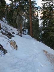
The old snow, from the winter, was now covered with a thin, fresh and slippery layer, so we used much energy kicking steps. |
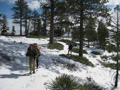
Finally we turn the corner to the S side of the mesa and less snow. |
Now we look back NE across the canyon. The shuttle car is still about 300’ higher. |
|
|
|
|
|
This last ridge was incredibly windy. |
As we approach Rainbow Point, José is giddy. |
Then we
went to Ruby’s hot coffee
and a good meal! |
|
|
|
|