 |
|
|
|
|
|
|
|
|
|
|
|
|
|
|
|
|
|
|
|
|
|
|
|
|
|
|
|
|
|
|
|
|
|
|
|
|
||
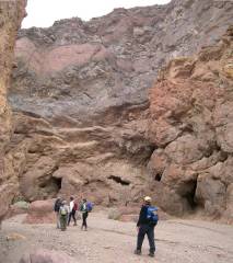
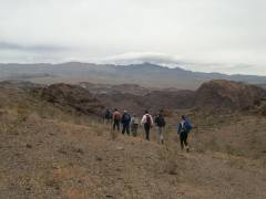
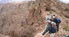
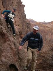
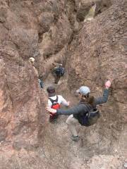
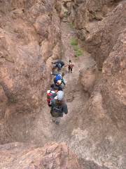
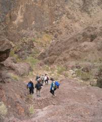
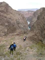
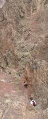
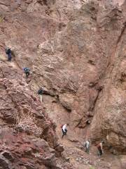
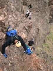
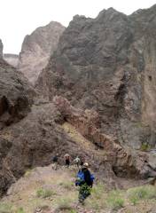
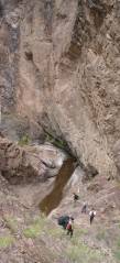
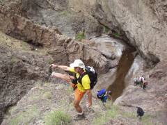
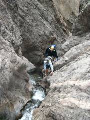
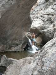
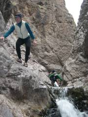
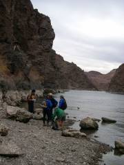
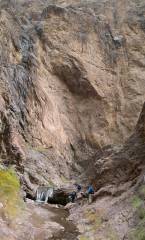
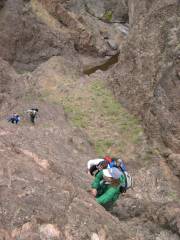
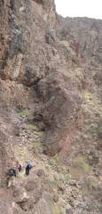
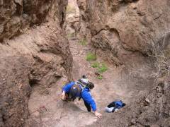
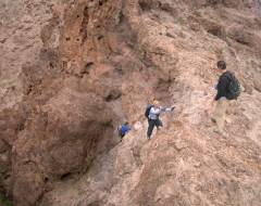
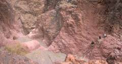
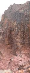
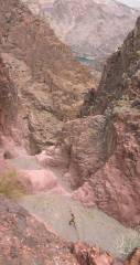
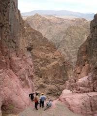
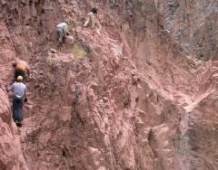
Boy Scout Canyon (On Colo. River near Boulder City)H.W. Stockman |
Click on any small image to see a larger picture. (Cliquez sur une petite image pour voir la grande image correspondante.) Order is essentially chronological. Even the large images here are reduced to ~1/5 the original # of pixels. If you want copies of the original images, please e-mail me.
|
|
|
|
|
|
|
|
|
|
|
|
|
|
|
|
|
|
|
|
|
|
|
|
|
|
|
|
|
|
|
|
|
|
|
|
|
|
||
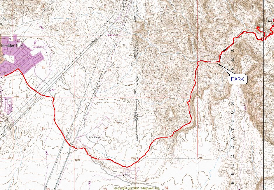
Map of 4WD Route to Start of Trail
Don't try to drive or hike by this image -- use it to find the 4wd route on more detailed, smaller-scale maps.
=====================================
GPS FILES
Below are files in MapTech rxf format, dxf, gpx, and Garmin Mapsource mps format. These files may be uploaded to a GPS. To use these files, read them into a free program like G7toWin (for several formats) or EasyGPS (for gpx format), then use that program to upload the routes to your GPS (e.g., through the serial port). If you own MapTech Terrain Navigator or ExpertGPS or similar software, you can upload these files and also display them on your computer, to modify the routes
The route is tricky; consider getting/purchasing directions at www.hikinglasvegas.com, and do not rely on a GPS alone, as the canyon walls often occlude the satellites in the deeper parts of the hike.
PLEASE NOTE that all points are relative to the WGS84 datum, NOT NAD 27. If you choose to use these files, make sure you either do the conversion to your favorite datum, or use the WGS84 datum on your GPS and mapping software.
DISCLAIMER
: Use these files at your own risk. The high canyon walls block many satellite and make for nonsensical readings. A GPS does not give you the ability to fly or to suspend Newton's Laws and common sense, so don't try going up or down cliffs that are clearly beyond your ability or equipment. The route involves some class 3 scrambling, and a wrong turn makes it class 5, with 100-meter dryfalls. The canyons are bad places to be spend the night. This hike would be miserably (perhaps fatally) hot in the late spring, summer or early fall. A GPS cannot see southern satellites through solid rock walls, so the GPS readings in deep east-west canyons may be grossly inaccurate, and the WAAS corrections will certainly be off.The files:
The drive in (high-clearance, 4WD preferred) from Boulder City, in gpx format
The hike to the an area just east of the springs, in gpx format
The drive in (high-clearance, 4WD preferred) from Boulder City, in rxf format
The hike to the an area just east of the springs, in rxf format