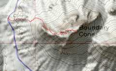
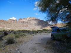
 I arrived around 11AM and decided to climb Boundary Cone |
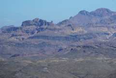
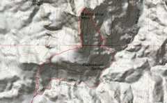
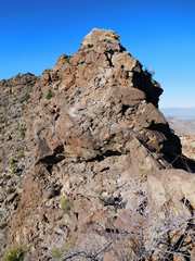
 This is a zoom view from about 10 miles away to the WSW. Boundary Cone looks impossible from here. In fact there is a largely class 2 (one class 3 move), but very faint use trail. |
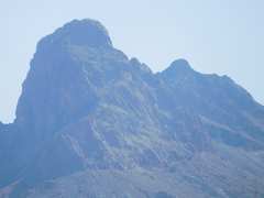
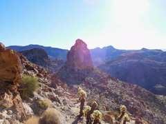
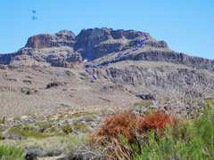
 This is a view of Boundary cone from the N, the next day. The R (W) ridge has a steep use trail. |
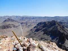
 View UP to E. |
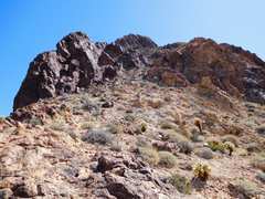
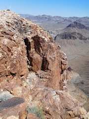
 Near the top, view SE. Three sides of the top are above big cliffs, and it is hard to get a feeling for the exposure. |
 |
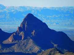
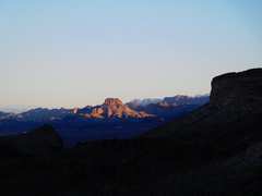
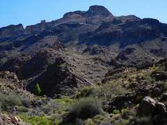
 Battleship Mountain at L, tomorrow's goal. |
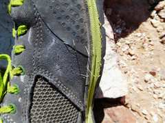 Cactus spines remaining in my shoe after 10 minutes of tweezing. The "jumping"cholla reproduces asexually by dropping pieces, which stick to your shoe bottom, then spike you in the ankle. |
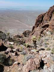
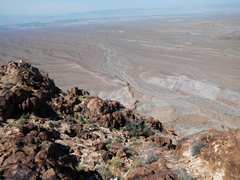 My car is down there! |
 |
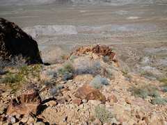
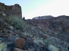
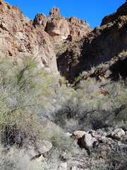
 Some of the chutes have catclaws; but the CORRECT chutes always have ways to walk around the catclaws |
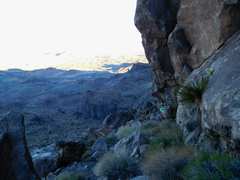
 descent route |
 The one class 3 move; go R on the slick rhyolite ridge to avoid the chockstone. |
 On descent, go L of this nubbin. |
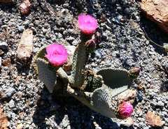
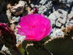 beavertail |
 |
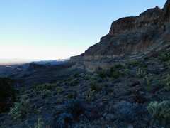
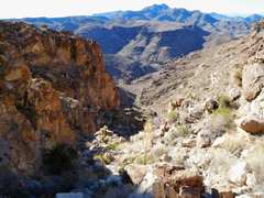
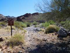
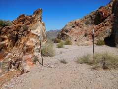 where you must cross the mine fence to hit the use trail. |
 That eve I camped under a palo verde. Battleship Mountain in back. |
 Next day was Battleship. I went clockwise; the W route was more straight- forward than descent. |
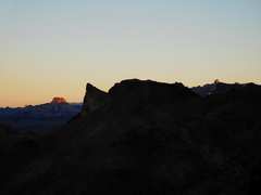
 I started up 10-20 minute before dawn, but didn't see the sun for another 30-40 minutes, when I hit the summit ridge. Go up just R of the promontory. |
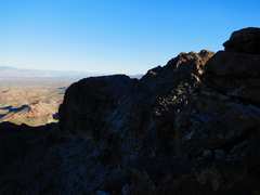
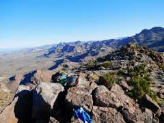
 View N |
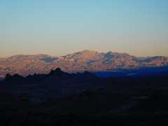 Spirit Mt to NW |
 |
 |
 This passage makes the climb class 3 (note C for cairn) |
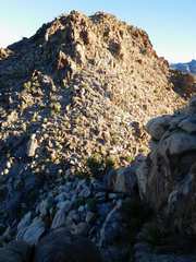
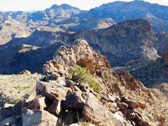
 The stack is in middle |
 Big cliffs on W side |
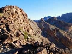
 View N to summit ridge |
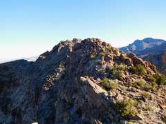
 View of the TRUE summit to N, across notch. View is from FALSE summit just S of notch. Trick is to go to W (L) side of FALSE summit and look for class 2-3 passage |
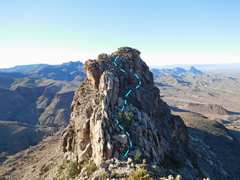 On TRUE summit looking back S at FALSE summit. Blue line shows class 2-3 passage (note C for cairn) |
 On summit, view N. About to descend off E side. What could go wrong? |
 Well, it's kinda knifey. |
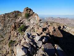 View back S at true summit. |
 I just down-climbed that. Now I'll look for a way off E side |
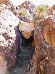
 10 sweaty minutes later... I pass by a cave full of paw prints. |
 The Stack to NE. |
 Way down SSE looked OK, except... |
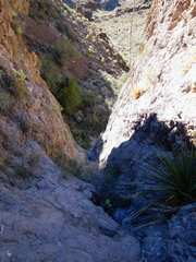 ...for a few dryfalls. I eventually passed this one on the L (N) |
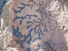 Manganese (oxy-hydroxide) dendrites |
 View back up bottom of dryfalls. |
 Nutt Mt to NW |
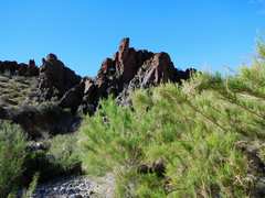 |
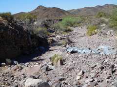
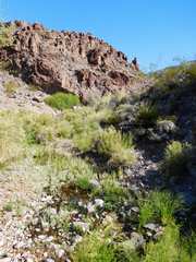 water in the desert |
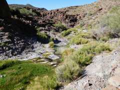 water in the desert |
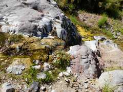 water in the desert |
 water in the desert |
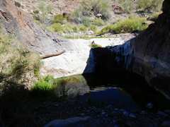 water in the desert |
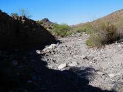 The road, where I drove previous day, looking for a good campsite. |
 The road |
 The road |
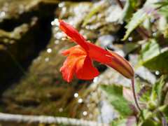
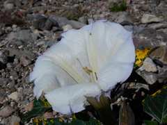 Datura |
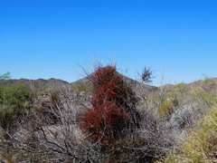 Yay, Mistletoe! |
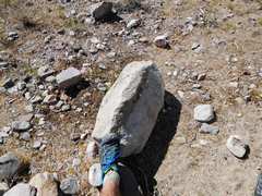 This rock was partly buried and in the way of my campsite. A pry-bar and some sweat moved it. in the way |
 Leaving area, view back showing route up W side of Battleship. |