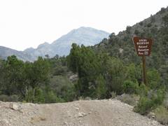
Black
Velvet from Mountain Springs
pics by Harlan W. S. This is probably the easiest way to reach the summit of Black Velvet to summit “Mountain Springs” Peak on the
way. All the class 3 is compressed
into about 200 horizontal feet; but that section is very tricky, and you have to be willing to back up and look
for the as class 5 by very competent climbers – and
I’m sure that’s just because they didn’t find the crux
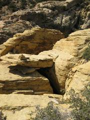
solution – a partially hidden tunnel, originally discovered by Branch
Whitney. I continued on to the north, then came back on the west,
to explore more of the ridge. I was
ill, but made the 9 mile, 3200’ accumulated elevation gain hike in 5.6 hours; I probably spent at least 2 hours just
finding the way to, and back from, the sandstone Black Velvet peak |
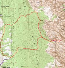
|
GPS trace. The gravel road was badly washed out in one place Sept. 27/08. |
|
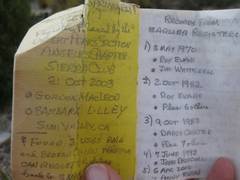
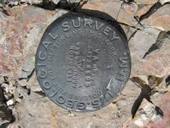
has a MacLeod/Lilley register! |
|
|
|
|
|
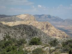
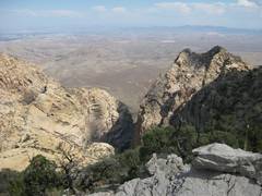
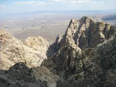
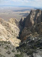
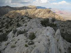
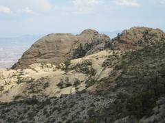
View east, to Black Velvet from Mountain the peak to be the lower summit at left, as that northern crag is atop the huge climbing wall/ |
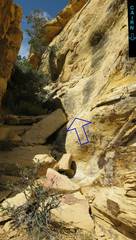
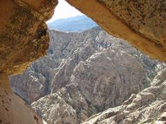
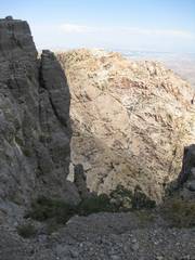
View ~NE – don’t miss this gulley to the cruxtunnel. |
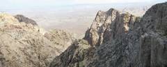
View back west at the top of the crux. |
|
|
|
|
|
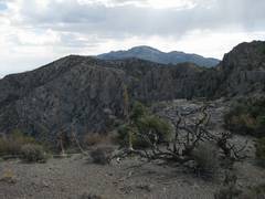
View S to Windy Peak. |
View ESE as I cross to northern peak of BV. |
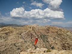
Me and Monument (to N). |
|
|
|
|
|
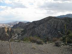
On return; S to west end of Windy. |
View back toward Mountain Springs Peak. You want to travel L (S) around the subsidiary peak. |
I’m back on
top of about to head N. |
|
|
|
|
|
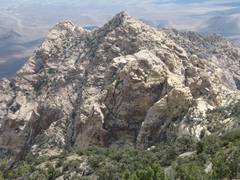
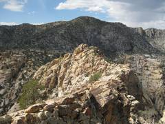
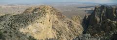
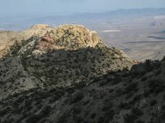
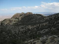
On ridge, view back E at Black Velvet. |
|
More views E. |
|
|
|
|
|
View E to Monument and Hidden. |
|
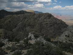
BV again, as I head N. |
|
|
|
|
|
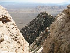
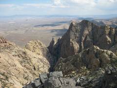
Now one can see Hidden (L), BV(R). |
|
|
|
|
|
|
|
View S to |
|
Hidden and Monument to E |
|
|
|
|
|
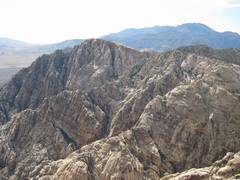
View N along limestone ridge, with Spring, Wilson and LaMadre peaks. |
Now we see the back side of Hidden. |
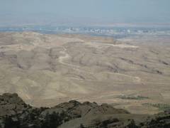
Al, Ali, Lori, and Britta are off that way today, but the haze and 200 miles of rock are in the way. |
|
|
|
|
|
|
Back SE at Monument (L) and Hidden. |
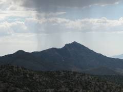
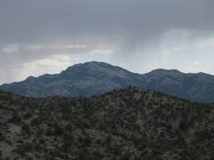
I hear thunderclaps, and can see rain over Pa’s Rump. |
|
|
|
|
|
Stormy weather over
|
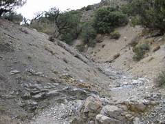
The descent wash was brushless all the way back. |
The route S, on the west side, is on a rough road. |
|
|
|
|