 |
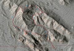
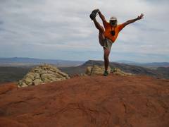
 1 |
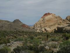
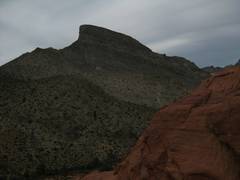
 2 Turtlehead. |
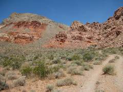
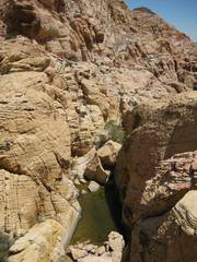
 3 Wash cuts off Gateway Canyon. |
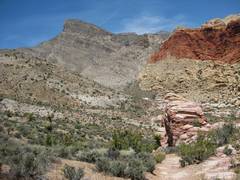
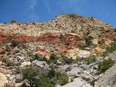 4 Just as one heads up back of Gray Cap. |
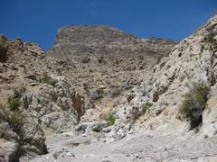
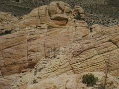
 5 Tanks on way to Gray Cap. |
 |
 |
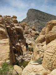
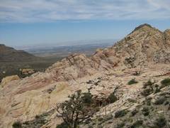
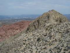
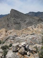 6 Top of Greycap, view to Turtlehead. |
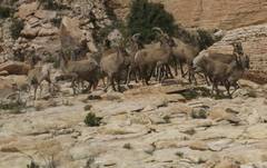
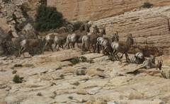
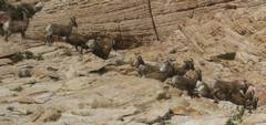
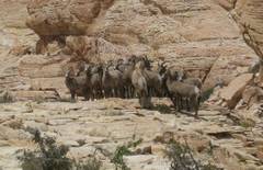 7 Bighorns! |
 |
 |
 |
 |
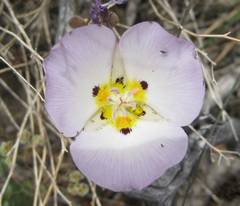 Mariposa lily. |
 I head W to Turtlehead. |
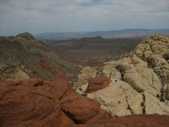
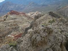
 View back E at Gray Cap. |
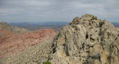
 8 Back of Turtlehead. |
 |
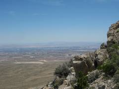
 9 View ESE from Turtlehead. |
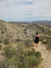 I saw this woman carrying a purse, and wearing high-heeled sandals, on my brief trip on the THead trail. |
 |
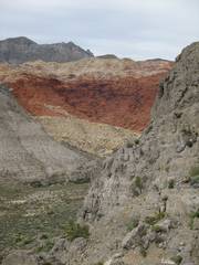
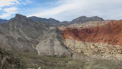
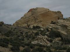 10 Red Cap. |
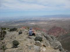
 Top of Red Cap, view WSW to Wilson, Rainbow, and Bridge. |
 10b Top of Red Cap. |
 |
 Turtlehead, N of Red Cap. |
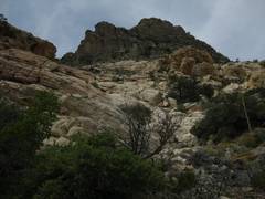
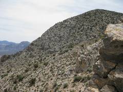
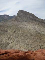
 11 View to New Peak. |
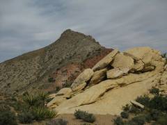
 View of Turtlehead, while climbing the first part of New Peak. |
 12 Gray Cap from New. |
 View E from west end New Ridge. |
 |
 View near top of New; Turtlehead at L, then Madre, Damsel, and Gray Cap (below Damsel, atop colored sandstone). |
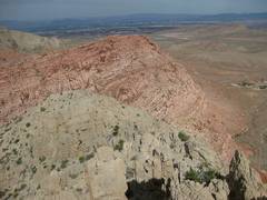
 View back at Red Cap. |
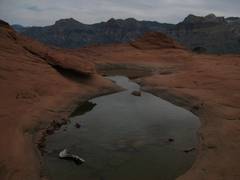
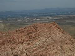 Top of New, view over Kraft. |
 13 |
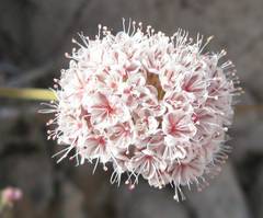 A buckwheat. |
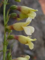
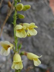 14 Yellow penstemons. |
 |
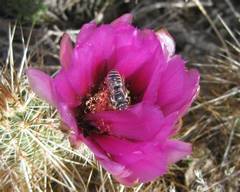 Bee in a strawberry hedgehog cactus. |
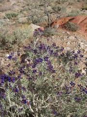 Indigo bush. |
|