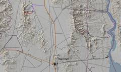
 For context: The climb/hike is ~25 SW of Boulder City NV. The roads are good, but birms have been placed which require ~7-8" clearance in one stretch. |
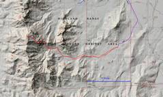 |
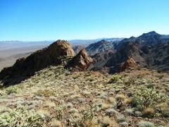
 The non-technical climbing is from the east side, and is still sketchy and creepy. View from purple dot in previous map. |
 View from orange dot in 2nd map. The light blue dashed line here shows the "non-technical" climbing route. One can double over 100' of 15 mm webbing to handline back down this route, using the lowest loop on the cable as an anchor, but only to the bottom ledge. |
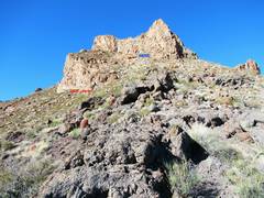 OK, back to our recent trip. I am at the saddle indicated by the blue dot in the second map, looking W. The upper cliff band is initially unobvious; it is the band you need to follow. |
 Anji hugs the upper cliff band |
 "The Hand of God" aka monkey-fist is to the right above Anji. |
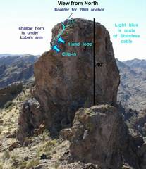
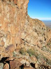
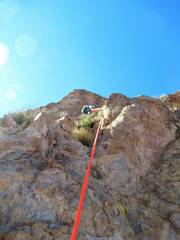
 Now I've climbed up the E side of the tower and anchored a handline at the lowest loop on the cable. |
 View from N, I'm at the 1st ledge |
 |
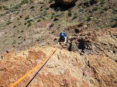 Anji climbs |
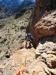 the 2nd ledge affords some rest |
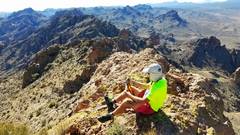
 Anji on top |
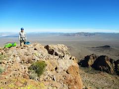
 Possible Mesa to E. |
 I put on my thong harness |
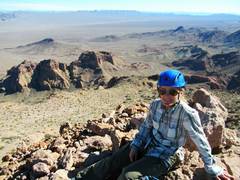
 Griffith Peak on L side photo. |
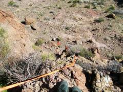
 Blurry picture of Anji on rap on E side. We pulled the rope to N so it was on a direct line down, to avoid the pendulum. |
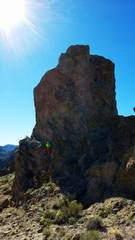
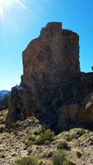
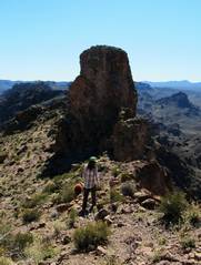 The tower, from N |
 |
 |
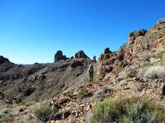
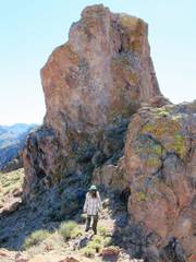
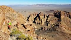
 heading SE to point where we will catch the higher cliff band |
 |
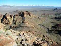 Possible Mesa, or wash at R |
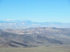
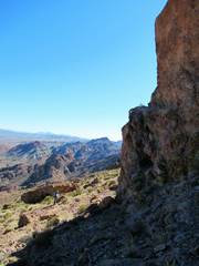
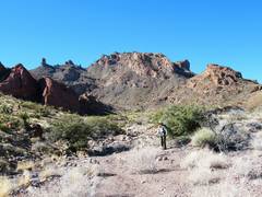 View back ~W as we head back |
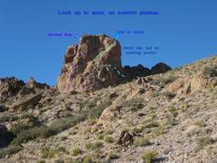
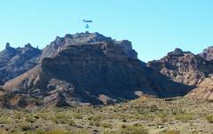 The tower |
|
|
The tradional rap spot is south of the highest point, and leads to a clean (initially overhanging) line off the east side, requiring about 140' of rope (total for double-strand rap). A 30 m rope IS NOT ADEQUATE for the traditional rap. Currently (2020) there is a UV-treated 4000 lb test dyneema sling around a boulder on the southern rap spot. The thinness of this sling is sure to worry some, but it is stronger than a 1" climbspec tubular nylon webbing sling, as the loops are spliced, not tied (95% rope strength, vs 65%). You may want to use a wider rapide, to ease the pull. If you want to rap off the north, BRING YOUR OWN 30' PIECE OF WEBBING to sling the same rock that holds the cable. If you try to rap the northeast side, you must not follow the ascent route, as that route uses a lot of rope and puts you at a SEVERE DANGER FOR PENDULUM! If you try the northeast rap, have 120' of cordage to be safe, and deviate north of the line of ascent to avoid the pendulem, or go directly over the cliff.
I guess that depends on where one starts measurement. First, the Tower is clearly higher than the benchmark. The latest USGS LIDAR data (https://apps.nationalmap.gov/3depdem/) give the top of the tower at 4905', over several placements of the cursor; but the last closed 1 meter contour is about 16' wider, and the top is somehat ragged. The saddle north of the tower is 4856', which would make the tower about 49' high. However, the normal climbing route is on the east and the base of the first ledge, where one would drop in a fall, is at 4840', making the "height" about 65'.