Cathedral Range W of Lake Mead, NV

Harlan W. S.
March 18, 2006

This hike is 8 miles by GPS, and can be class 2, if you don't climb the spires, and if you ascend a bit right of the top of the 869m peak. The hardest thing is the slog across 3 miles of up-and-down washes before you get to the actual climb. The starting point is only about 0.6 miles south on the Boathouse Cove road, from the intersection with Northshore Road. The true peak is not visible from the road; the east side of the peak is precipitous, and falls quickly down to the lake, giving splendid views of water N and S.

I had loaded many possible hikes into the GPS. On Boathouse Cove Road, we thought of going to Manganese Peak and the Booth Pinnacle-Pyramid hike, but I wasn't sure how far my Subaru would take us… so, we went here.

catmap

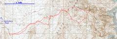
GPS trace. Take the northern routes for easier travel.
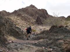
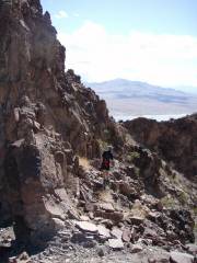
P3180008

Heading up a wash,

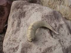
Ram's horn. The skull was nearby.


P3180084

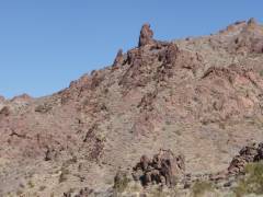
On the left is the spire in the next few photos. To left of the spire is a mini-spire

P3180083

Telephoto of mini-spire and spire.

P3180023

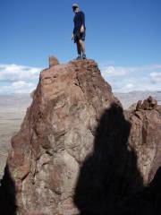
CP on the mini-spire.


P3180029

P3180031

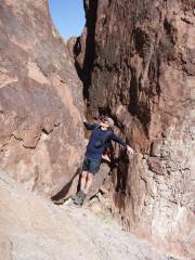
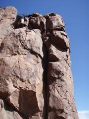
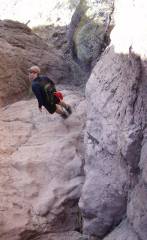
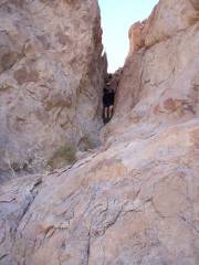
Now we're on the big spire; not much room to back up and take a photo.

P3180038

CP comes down the big spire.


P3180046

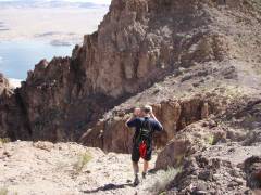
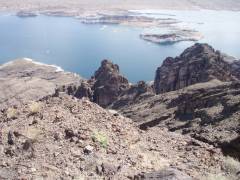
At bottom of spire, a view NE toward Virgin Mts, which are in clouds.

P3180050

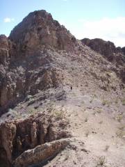
Now we head over to true Cathedral Peak.

P3180054

CP in distance, toward peak.


P3180057

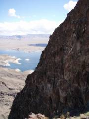
The N side of the peak is a big cliff.

P3180058

P3180061

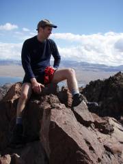
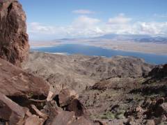
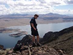
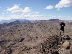
On top 869m point; to R, across lake, is Bonnelli.


P3180062

P3180069

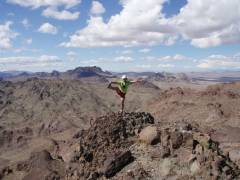
Redstone Peaks are in back of my R hand and foot.

P3180073


P3180074

One of many dryfalls on our exploration S.

P3180079

Steeper than it looks! The rock was stunningly crappy here, and kept exfoliating beneath my feet.