|
|
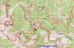
This is a GPS trace of the up part of the route. Peppe hits the Chaz ridge farther east than in the traditional route, avoiding the longest talus slog. |
View SE from showing eventual route. (I plotted the GPS file on GoogleEarth, then drew the route on a photo from the hike). |
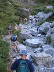
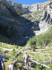
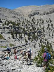
Heading S to Big Falls. Keep them doggies rollin’! |
|
|
|
|
|
Big Fall to the R – quite dry. |
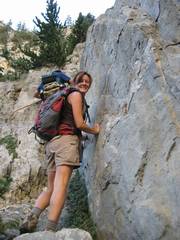
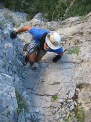
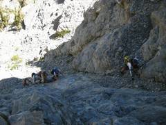
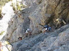
Up L of falls. |
|
|
|
|
|
|
At the top of Big Falls, view SW. We Are about to cut R. |
|
|
|
|
|
|
|
|
|
|
|
|
|
|
|
|
|
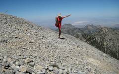
Don’t Cha… Don’t Cha… |
|
|
|
|
|
|
|
|
|
|
|
|
|
|
|
|
|
|
|
|
|
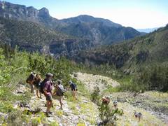
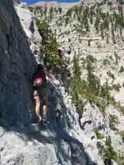
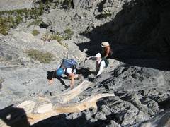
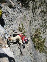
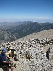
You want us to go THERE? |
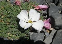
Late primrose. |
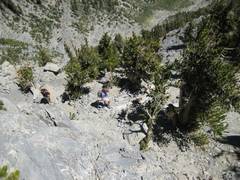
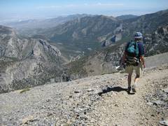
Dana doesn’t heed our warnings to turn back. |
|
|
|
|
|
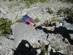
Judy is similarly unmindful of the danger. |
Mysterious one-legged man. |
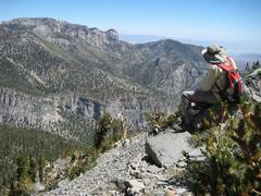
over La Madre. |
|
|
|
|
|
Doyle hurries down to make his 6PM dinner appointment. |
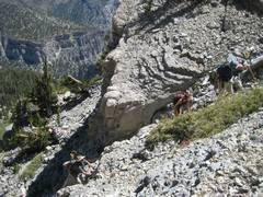
Congrats to Peppe, who
handled a large group well and kept us from killing each other with loose rock. |
|
|
|
|
|