|
|
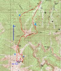
I parked at Ski Lee/Bristlecone trailhead. |
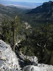
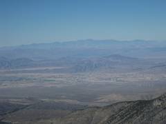
First open spot;
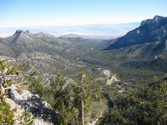
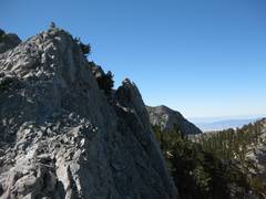
view N up |
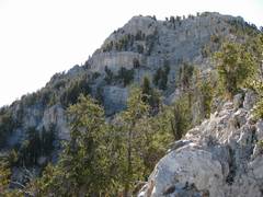
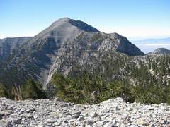
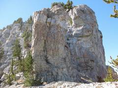
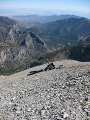
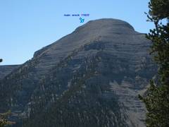
Looking up at the N
face of the |
|
|
|
|
|
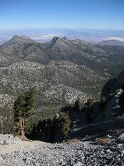
McFarland in distance. |
|
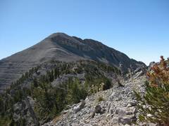
The true summit of Lee is at R. |
|
|
|
|
|
|
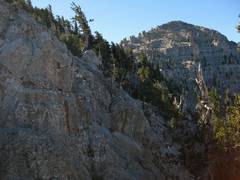
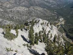
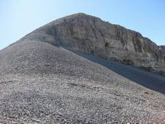
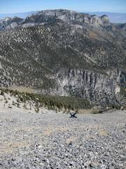
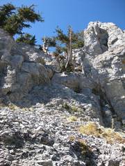
An important scree chute; find this if you want to go back the same way! The L is mainly rock. |
|
|
|
|
|
|
|
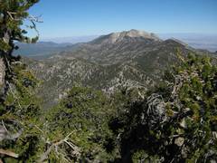
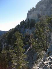
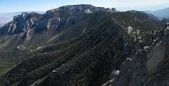
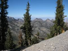
The route flows this ridge. |
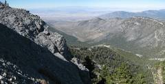
NNE to Mummy; the Ski Lee bushwhack chute is visible. |
|
|
|
|
|
|
|
|
|
|
|
|
|
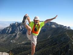
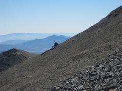
Chaz from Lee. |
|
Now we’ll take the Devil’s Thumb route. |
|
|
|
|
|
|
|
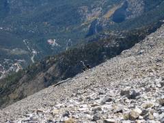
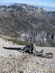
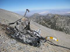
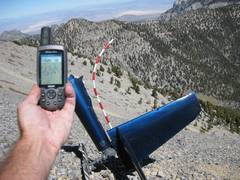
The crash, as seen from DT route. |
|
|
|
|
|
View of crash from top. |
|
|
|
|
|
|
|
|
|
|
|
|
|
|
|
|
|
|
|
|
|
|
|
|
|
|
|
|
|
|
|
|
|
Ready to descend. |
|
|
|
|
|
|
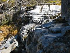
The spring is covered with ice. |
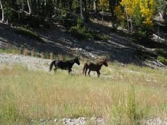
“wild” horses. |
|
|
|
|