|
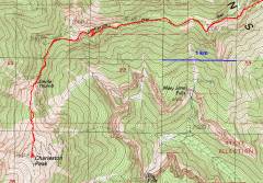
Upper part of the GPS trace. |
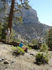
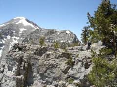
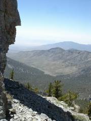
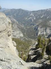
View NE from Trail Canyon. |
|
|
|
|
|
|
|
Doyle and his patented hiking handbag. |
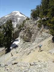
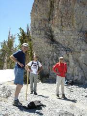
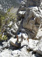
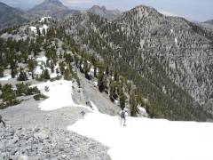
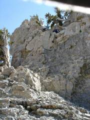
At Devil's Thumb, the first group prepares to ascend the cliffs. |
|
|
|
|
|
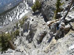
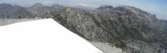
The Thumb is at the top of the picture, roughly to the north. |
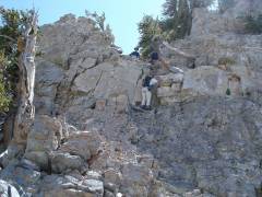
Now we can see the top of the Thumb -- we're looking down on the top. This shot is from the end of the 1st hairy pitch. |
|
|
|
|
|
|
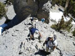
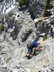
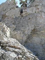
This is the 2nd hairy pitch. |
|
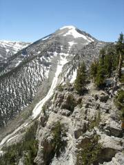
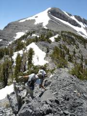
From here on, it's just a chug to the summit. |
|
|
|
|
|
Mark looks happy |
View east -- here's a key. |
View NE as Richard and Doyle crest the ridge. Here's a key. |
|
|
|
|
|
|
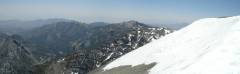
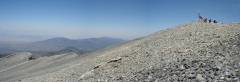
View west. The north side of the summit is mainly snow-free. |
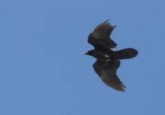
Raven? I thought this was a crow, based on tail shape, but other pictures show a soaring pattern typical of ravens. Later I realized the birds were circling above a lone hawk. |
|
|
|
|
|
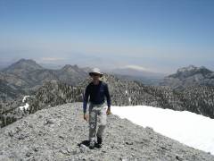
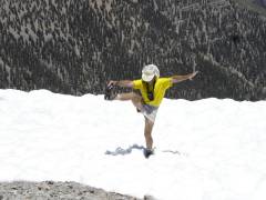
People are always looking down on me. |
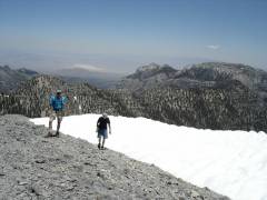
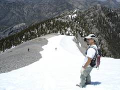
Preparing to plunge-step and slide down the snow. Most snow was too sun-cupped to navigate. |
|
|
|
|
|
|
Dr. Z descends the worst pitch. |
Lah-di-dah, view west. |
Branch comes down. |
|
|
|
|
|
Now Mark. The object at upper right is my hat; I tried to use it to block the sun. At this point, I got out of the way so Branch could film Richard's descent. |
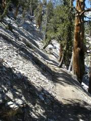
Heading back north down the trail. |
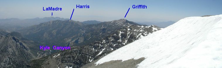
Standard view of Kyle Canyon. |
|
|
|
|