|
|
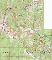
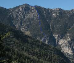
The red trace
is my strange route; the blue is the conventional route (Trail Canyon
– NLT – SLT) over |
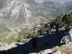
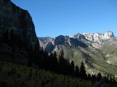
View S as I start
off down the trail to |
Now I’m heading WNW through the wash. |
|
|
|
|
|
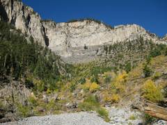
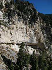
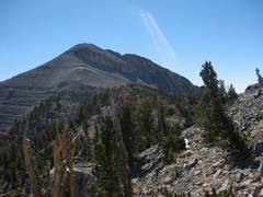
I will eventually climb that cliffy lump ahead, exiting by the arrow. |
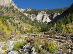
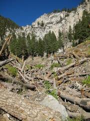
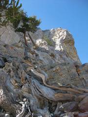
There is much avalanche debris from the 2005 season, but I found it was easy to walk across the logs (though I would hate to try this in rain). |
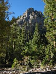
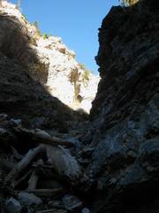
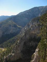
I originally intended to try Branch Whitney’s East Face route, which wound up this neat canyon. |
|
|
|
|
|
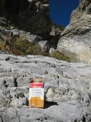
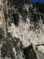
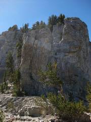
There were a few odd foods left near the western dryfall; BW describes this dryfall as class 5, and urges one to ascend the earlier S wall. I could see where logs had been leaned against the dryfall in an attempt to climb. |
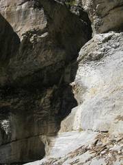
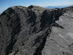
This section of the dryfall is about 15’, from the horizontal line to the notch. With heady overconfidence, I assume I could mantle up. Alas, the final band was at least 6’, and the rock was worn smooth by water and sediment. |
So rather than follow BW’s good advice to try the S wall, I retreated back and started up the arête to the N. Soon I saw an over-hanging wall, which I must find a route past. |
|
|
|
|
|
OK, view N as I climb past the wall. |
I’m actually above the wall; this view down doesn’t look creepy here, but trust me, it was. |
I traversed and went on the R side of this pinnacle. |
|
|
|
|
|
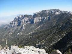
Now I look back S over the arête that I ascended. |
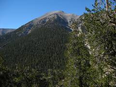
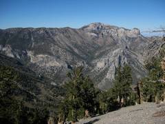
I’m slogging up through steep forests, and get this “different” view of Chaz. |
Finally I hit the
NLT, and get this 1st view over into |
|
|
|
|
|
I went over |
View of Mummy from |
I briefly used the NLT to get to Devil’s Thumb. |
|
|
|
|
|
I’m looking up at the conventional route up the cliffs in back of Devil’s Thumb. But I recall that someone had asked me if the next chute S “goes”… so I guess I’ll try it! |
The arrows show the normal way up the Devil’s Thumb shortcut. Alas, I am on a chossy chute to the S. |
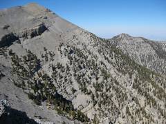
OK, at the top of the ridge, viewing Chaz, with a bit of remnant snow. |
|
|
|
|
|
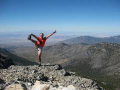
On top of Chaz. |
|
I took the ridge to avoid the trail some more. View back at Chaz from ridge. |
|
|
|
|
|
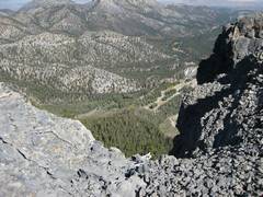
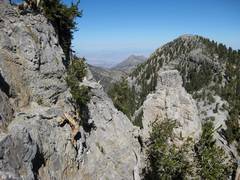
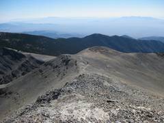
View ESE on ridge. |
|
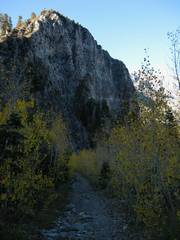
Now I start down the Cathedral Rock herdpath; I first heard about the route from Richard N. |
|
|
|
|
|
View bac of my
route from |
More Mummy. |
This is the vies E from the S end of Cathedral Rock. |
|
|
|
|
|
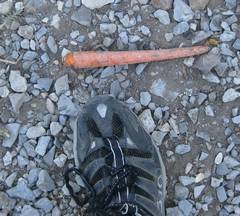
What the…? There were carrots spread along the Cathedral Rock trail. |
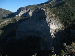
Cathedral Rock at ~3:30PM. Though the sum won’t set for nearly 2.5 hours, it is dark in the shadows. |
Cathedral rock and yellow (avalanche-favored) aspens. |
|
|
|
|
|
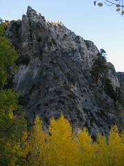
Cathedral Rock (L) and Mummy. |
Then there was a long boring trek back to my car… and 8.5 hour day, much longer than I expected. 5300’+ elevation gain, but only 13 miles. |
|
|
|
|
|