Charleston
Peak from
pics by Harlan W.
S. This route starts at ~7700’ off the There are pleasant dry campsites in the Ponderosa,
starting near 7700’. The lower
part of the route is often shaded all day. This not an easy route; entirely trailless, and the elevation gain is fast. Accumulated gain is about 4300’, and total RT distance is just shy of 7 miles. The southern part of the route has some rough, serrated ridges to traverse, with a few class 3 sections. Moving at a moderate pace (for me), I took 3h 8m up, and 1h 15m down; the latter was possible because I jogged down through the soft talus on the northern part of the loop. Over all, there is very little brush Special thanks to Nick N for a map. Dr EF and Nevada Bob G took this route years ago; there is evidence the Pahrumpians went even before. |
|
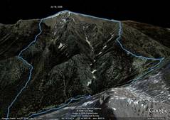
Google Earth view,
looking E from above |
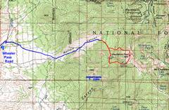
100k map with GPS
trace. The |
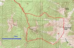
24k map of hike. |
|
|
|
|
|
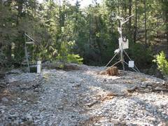
Gubmint weather station. |
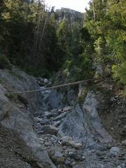
ATV access ends here. Go to the L to avoid yucky water. |
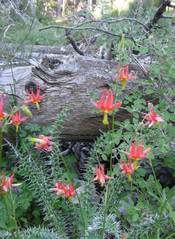
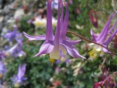
Low down in the moister sections, the columbines are orange and yellow. |
|
|
|
|
|
This is the L fork turnoff for Vache Pisse (don’t take). |
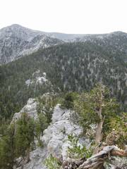
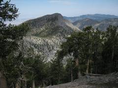
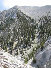
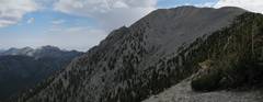
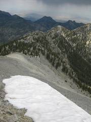
View E and up across the serrated ridge. |
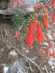
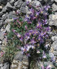
Red penstemons. |
|
|
|
|
|
View back on |
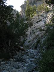
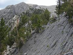
Much of the last mile is up steep, high-friction ramps, often avoidable by a crappy talus route. |
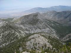
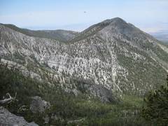
In distance are McFarland (L) and Macks. |
|
|
|
|
|
View up a bowl to
the E of the ridge; |
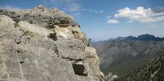
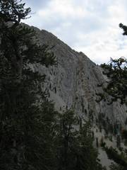
This cliff face has an old, braided nylon rope to aid descent; in reality, you can carefully walk (class 3+) down the diagonal crack on the S side of the rope (here looking back at the rope; McFarland in distance at R). |
View back over
ridge and |
|
|
|
|
|
A higher view of the bowl in the photo above. Hummingbirds liked my shirt. |
Now we can see more
of |
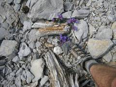
Purple penstemon, drawing shade from a piece of wood. |
|
|
|
|
|
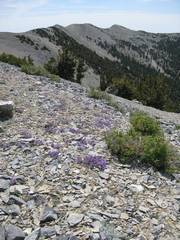
The SLT is visible over penstemons. |
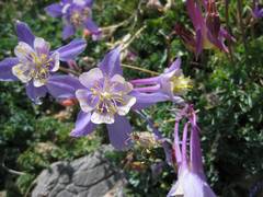
Columbines. |
|
|
|
|
|
|
|
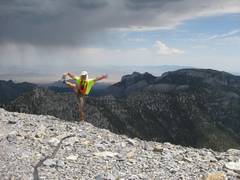
Mummy’s head in back at R. At this point, the T-storm cells were over Sisters. |
Good Luck Kid, and I sincerely wish you well. |
|
|
|
|
|
Descending. I’ll cut L at the talus-tree transition. |
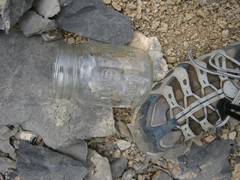
What the heck is a mason jar doing way down here? |
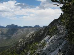
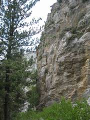
View back S over the steep cliffs. |
|
|
|
|
|
Once more, |
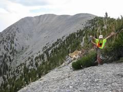
When you hit the sharp peaklet, turn L and descend down pleasant slopes. |
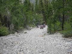
The last road is popular with ATVs. These folks seem to be “good citizens”; I saw very little garbage, and they were polite and helpful. |
|
|
|
|