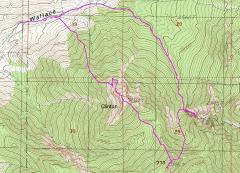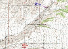
The turnoff from Wheeler Pass Road to Wallace Canyon Road. |
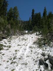
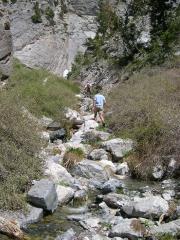
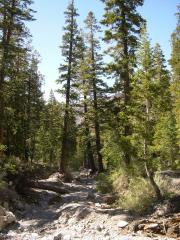
The hike. |
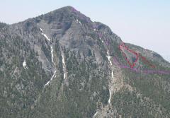
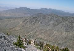
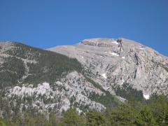
A view of our route on Clinton Peak, from the north (the next day, from this ridge). The red indicates our peregrinations looking for a way off the buttress. It would be best to come in below the buttress! |
|
|
|
|
|
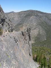
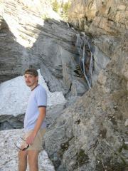
After a dicey traverse across the buttress, I look back (to the north). The ridge across the valley is the viewpoint for the previous photo of our route. |
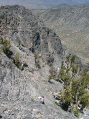
Nick comes up the north face. |
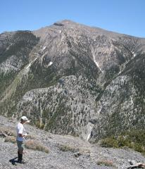
Near the top. View to the SW, as Nick and Pierre come up. |
|
|
|
|
|
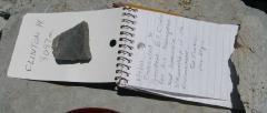
Register. We added three names; else only two people had visited since the register was placed in 2001. |
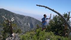
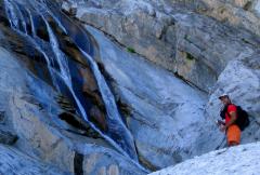
Nick points out the waterfall location on Charleston (view ESE from Clinton summit). |
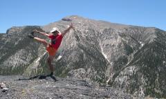
Standard Cerebellum check. Right hamstring still injured :^( Again, the west face of Charleston Peak forms the backdrop. |
|
|
|
|
|
View S from peak "???"; Pierre invokes the muses Caliope, Erato, Clio and Urania. |
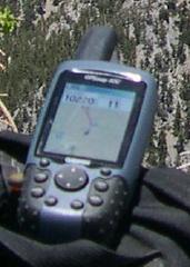
10220 +/- 11 feet. Actually, 11 feet is the x-y EPE; elevation is probably +/- 20 feet. |
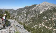
On peak "???"; view of Charleston west face. |
|
|
|
|
|
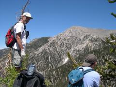
Still on "???". Nick takes the scouting pretty seriously, and puts on scout socks. |
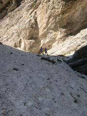
Nick comes down avalanche track, filled with snow and "fresh" (this winter) fragments of trees smashed by the snow. You can see Pierre's glissade tracks. |
Now we cut E toward the waterfall. |
|
|
|
|
|
Looking back at huge snow bank below waterfall. |
Waterfall. |
Pierre and waterfall. He tells me that he is reminded of a famous European waterfall that was named after an inconvenienced cow… |
|
|
|
|
|
Big Ponderosa Pines, with Pierre and Nick for scale. |
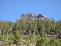
View of Charleston from parked car. Nick later made a loop up the west face, with one route skirting the trees at left, and another up the ridge at right. |
View of N face of Clinton, from parked car. |
|
|
|
|