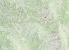
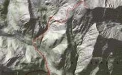
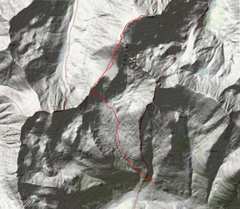
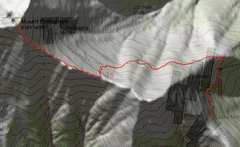
 First an overview map. |
 |
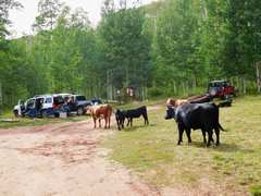
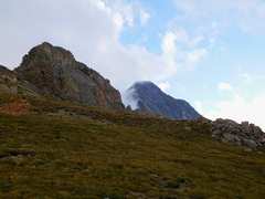
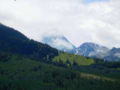
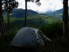 I camped on the 7th at the E end of parking so others would see me. Capitol in back, cow poops everywhere! |
 |
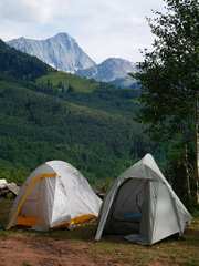 Justine and Laurie's tents, Capitol in back. |
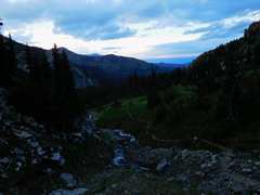 So we started the next day 3:30-4AM in the dark, lightning flashing. Here is view back NE at 1st light. |
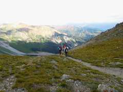
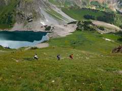
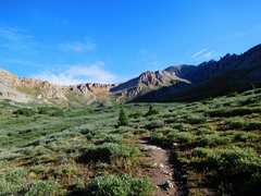
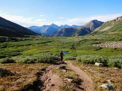
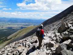
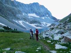 Justine and Laurie head to Capitol L at 11600', the peak is behind. |
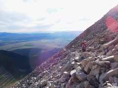
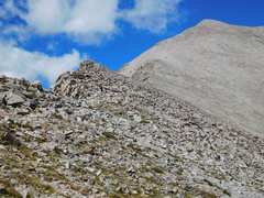
 as we started up to 1st saddle at 12500', we had very sporadic sun. |
 |
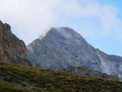
 But clouds kept rising, occasionally covering the peak, and the winds got stronger. |
 I tended to take photos when conditions were most optimistic. |
 At the saddle, thunder began booming directly overhead. Most of the folks we saw soldier on were bailing down the route within 15 minutes. |
 |
 |
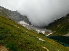 The clouds quickly poured over Capitol Pass, and the rain and hail became serious. |
 About 2/3 of the way back to camp, Capitol suddenly appeared, very wet |
 The peak kept reappearing... |
 ...only to be overtaken by clouds |
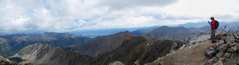
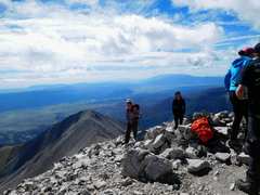
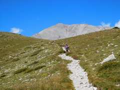
 Next day we all went up Yale by a nice trail, some boulder-hopping near top. |
 Anji negotiates one of route-finding errors |
 |
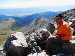 Jose |
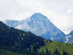
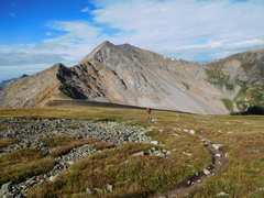
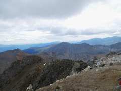
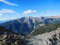
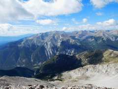
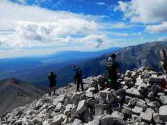
 ...and on this day, Capitol is in the clear! |
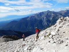
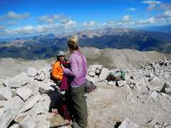
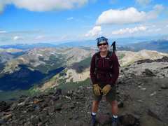 Justine; Laurie popped over ridge next |
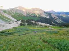
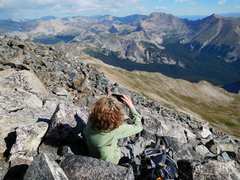
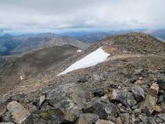
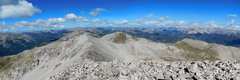
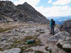 Plateau below summit |
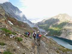
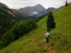
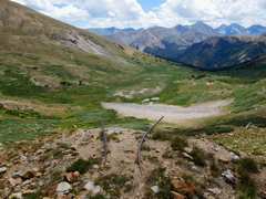
 Next day we headed up LaPlata from S; a bit marshy in places, no other groups on this obscure route |
 We must get over that ridge |
 The marsh behind Jose |
 Now over ridge, on Plateau |
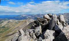
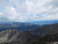
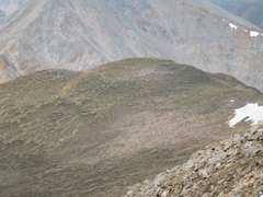
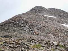
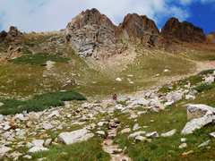
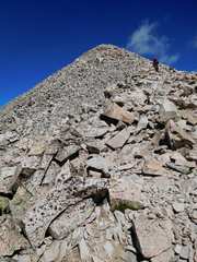
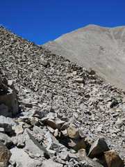
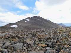 in the other direction is the big rocky hump, 1st of a few false summits. Rocks were fairly stable. |
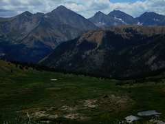
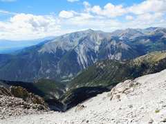
 View at top, over Ellingham ridge. |
 |
 |
 |
 |
 Eric and Laurie are down there somewhere |
 Eric and Laurie head up |
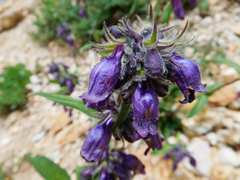 Penstemon |
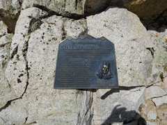
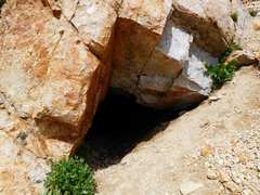 Mine |
 Tram rails from mine |
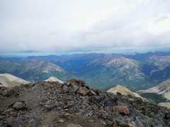
 Peaks to S |
 View back up nasty ridge |
 Next day was Princeton. We are on academic probabtion, because we didn't complete the required 3000' gain. The confusing instructions suggested we continue driving 3 miles after 10800', but we couldn't find a place to turn around when we realized we had passed 11000' |
 Laurie on the rocky trail. |
 View S |
 |
 |
 Laurie pops over top. View ~E |
 |
 |
 Laurie and Jose |
 |
 Laurie descends |
 |
 Laurie's in there somewhere |
 Heading down |
 Laurie's in there somewhere. |
 |
||