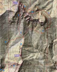
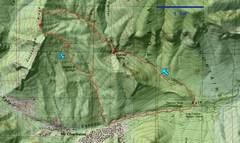
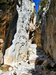
 Our route up Mummy was by the south canyon, discovered by Ed F. a few years before. |
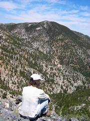
 Nick just after we left the North Loop Trail. Nick was 61 then; he'll be 80 this summer. |
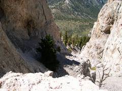
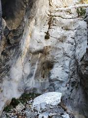
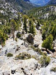
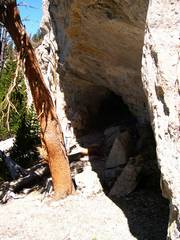 I've gone up or down this route at least 10x since; sometimes I hit this cave, sometimes not |
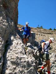
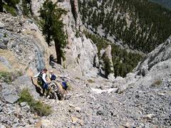
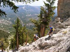
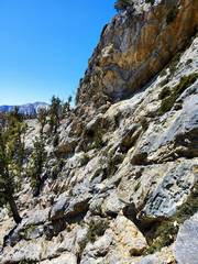
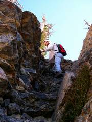 One of 3 somewhat iffy sections on the way up |
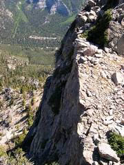
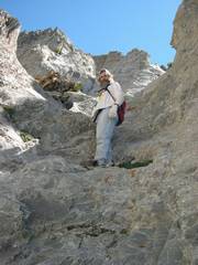 Very steep and occasionally slick limestone. |
 |
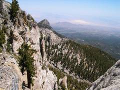
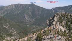
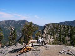
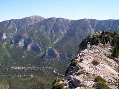
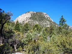
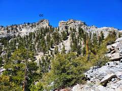
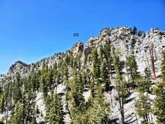
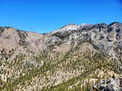
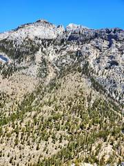
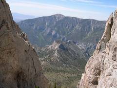 Cockscomb is the little peak in center view |
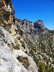
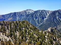
 Charleston from top of Mummy. |
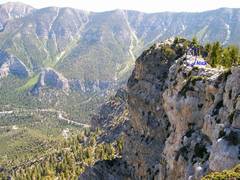
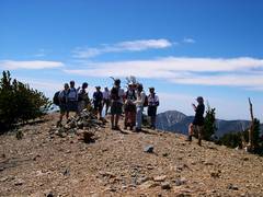 The LVMC group on top, as Nick convinces them to descend NE side and around by Raintree. More on that later! |
 I had just torn my R hamstring. |
 Luba and Jim E. |
 |
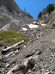
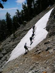
 The steep chute (see map) still had some snow. Some of the LVMC folks were expecting a staid class 2 hike... |
 Mummy Nose at L |
 Bottom of chute |
 View back up chute |
 |
 |
 |
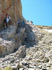
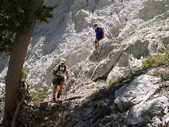
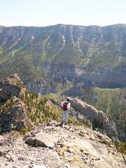
 I go ahead of the group and got a telephoto as they rounded the last section of NLT before Trail Canyon |
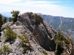
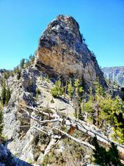
 After exploring, Nick and I topped Cockscomb by the totally uncairned diagonal route across the E face, no sign of prior use. |
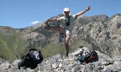
 Nick was pretty tired by this time, but soon perked up. |
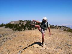
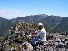
 I didn't have great flexibility then, but had more hair! |
 As we headed S to hit the next peak on the ridge, I realized there was a class 2 break in the cliffs; later in 2003, I took Alda, Val and Pierre up that way. |
 |
 |
 Starting up S peak |
 |
 I stayed back to get pics of Nick |
 Nick, Griffith back L. |
 Heading down to Trail Canyon was "interesting." Nick wanted to follow a ridge, and that ended in cliffs. |
 The W side of the ridge was nice, but had utterly miserable talus. |
 We finally got down, after both running out of water! |
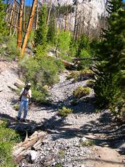
 So almost 18 years later, I started up Fletcher Canyon for a lung test loop. |
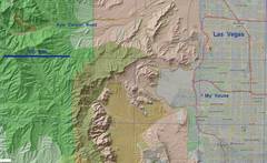 Context for route |
 This is "Little Fletcher." I tagged it in 2010, it proves to have a brushy top. |
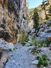 I met about 8 people on the way to Fat Man's Misery, no more until end of day, when I saw 2. |
 On the way to FMM... |
 after FMM, the only snow I crossed all day. |
 |
 I decided to leave Fletcher Canyon and cut directly up steep talus. |
 I saw 2 rough cairns at the bottom of this crumbly outcrop. |
 A bit higher, now I'll find a break in cliffs. I actually spent some time looking for human remains; I was part of a search group in 2010. |
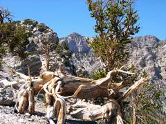
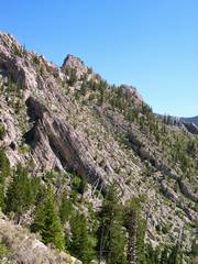
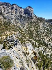
 View S to Cockscomb. Route is on L |
 The pass where one drops E slightly, to start the diagonal route E (R) across E Face. Nick and I found a xerox of BW's old instructions abondoned here. |
 A bit high, view S, looking for magic route I didn't find in 2010. Didn't find it in 2021. |
 Well, that doesn't look safe |
 On top! Mummy scree slope is totally dry. |
 Charelston has less snow than when I was on this same peak 3 days before. |
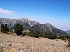
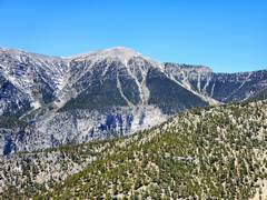
 Mummy Tummy (L), MJ Peak at R. |
 Griffith |
 Heading down. |
||