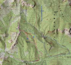
 This map has some of the ways that I've taken over Cockscomb, starting in 2003. On this hike, we took the red route (unfortunately covered by other routes much of the way). We went up one drainage and down another, as indicated by the arrows. |
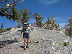
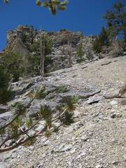
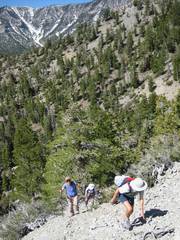 We start up the ridge, after going NW on the trail from Stanley B springs. |
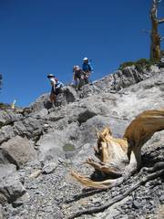
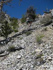
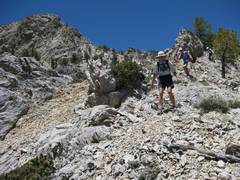
 JPK perseveres. |
 More perseverence. |
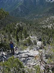
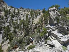
 Just about to break through the gap on the SE, onto Cockscomb Ridge. |
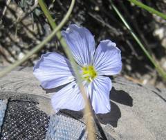 Flax. |
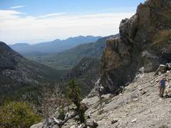
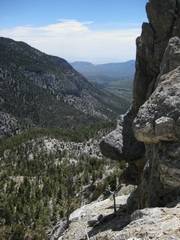
 Charleston to the W. Devil's Thumb shortcut looks good for LVMC. |
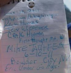
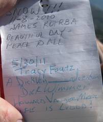
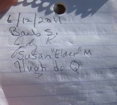 I put a register up in 2006. |
 |
 I last saw these guys in 2009. |
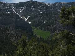
 N toward the junction of the Trail Canyon and North Loop trails. |
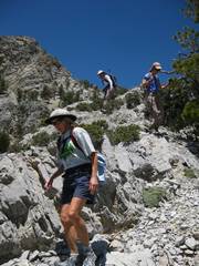
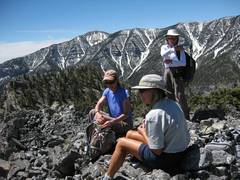 Les Femmes, Griffith as a backdrop. |
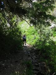
 Time to descend. |
 |
 |
 Mummy's Toe before we hit the slopes. |
 I sashay down this stuff. I was given a small chance to rest after being exhausted, keeping up with Les Femmes. |
 |
 |
 |
 |
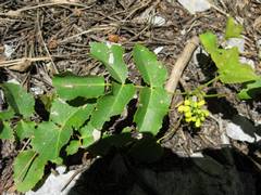 This is the plant that Judy called grape. I thought that she was probably hypoxic. Then she produced an ID... Oregon creeping grape! Only it's not really a grape, but a barberry, so I still feel smug. |
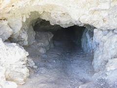 Our descent route took us by the 3 mine adits. |
 Of course, having a Y chromosome, I had to go down the top mine shaft. If you look carefully, you can see the outlines of 2 femmes. |
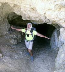 Picture courtesy of Susan M. |
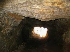
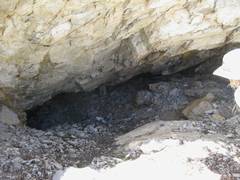 2nd adit. |
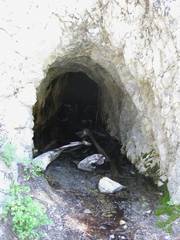 3rd. The visible ore is either PbSO4 or PbCO3, but I'm guessing that there were sulfides at one time. |
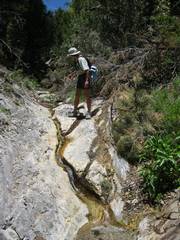
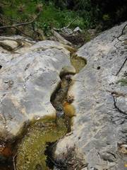 This channel, suspicously incised, makes me think of acid mine drainage working on the carbonate rocks, perhaps as the sulfides oxidized. |
 |
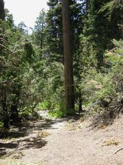 This big poderosa is a marker for the trail split. |
 |
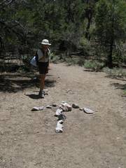 Which way do we go? |
 |