|
|
|
|
|
|
|
|
|
|
|
|
|
|
|
|
|
|
|
|
|
|
|
|
|
|
|
|
|
|
|
|
|
|
|
|
|
|
|
|
|
|
|
|
|
|
|
|
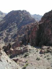
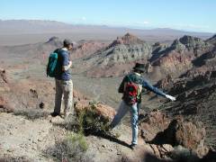
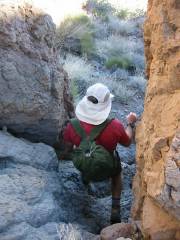
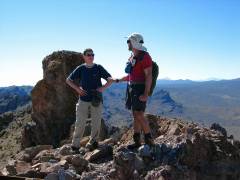
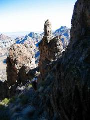
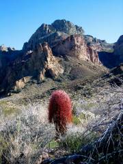
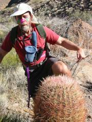
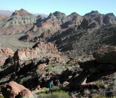
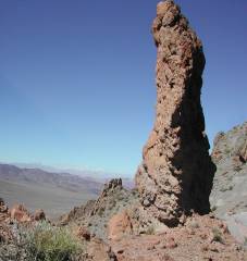
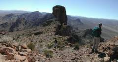
Castle Peak (South of Boulder City off i95)H.W. Stockman, Nick N, Pierre M |
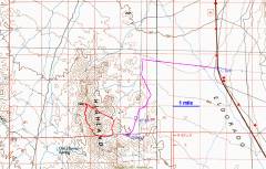
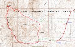
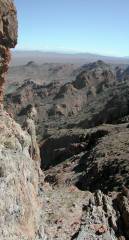
From the junction of i95 and i93 (just west of Boulder City), drive 21 miles south on i95, and turn west (right) on the power line road (gravel). Drive W 2.9 miles on the power line road, then turn left (S). Drive 0.6 miles farther south, then turn left (SSE) onto a transmission line road. Drive 0.85 miles SSE along the t-line road, then turn right (SSW) on a 4WD road. Either drive 1.1 miles ~SSW to cPark1, or 1.8-1.9 miles to cPark2. The first few miles of dirt road (after i95) are passable by any car with decent clearance, but the road gets rough the farther one goes to the south. Please bring 24k topo maps if you try this trip; it is also a good idea to have a GPS (preloaded with a route or track). At low altitude, the landscape is full of washes and hills, and it can be very tricky to find where you parked -- especially as nightfall approaches.
Nick N introduced us to this place. The week before, we went over the southern part of the ridge, where the colors and scenery were actually more startling. Two or three weeks before, Nick N tried the northern 4WD route (on the 24k map, NOT highlighted in the maps below) and found that "other" road was in very bad shape. On March 2, Nick was able to drive in to the hike starting point (west of "cPARK2") but there really wasn't a road, just a stream bed. Given all the washouts in 2005, it would probably be best to walk in along the green dotted lines from the "pink" 4WD road.
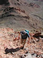
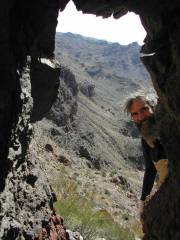
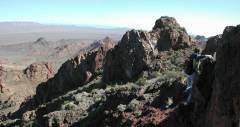
There is no trail. Of course, this route would be miserably (fatally) hot in late spring to early fall; this is a cool-weather trip. The rock is volcanic tuff, and is unstable in places; be especially careful to pick a route on the south side of Castle Peak. There is always a way that doesn't involve loose rock combined with deadly exposure, but you may have to back-track to find the route. Don't be impatient, or you may descend faster than you intended, with bad results. The southern guzzler may have water, but it is better to treat this route as dry and waterless.
|
|
|
|
|
|
|
|
|
|
|
|
|
|
|
|
|
|
|
|
|
|
|
|
|
|
|
|
|
|
|
|
|
|
|
|
|
|
|
|
|
|
|
|
|
|
|
|