Delano Peak, Utah (12169', NE of Beaver)
H.W. Stockman
Saturday, July 09, 2005 |
This mountain is on the LVMC Classic Peaks list.
We decided to make this hike part of a weekend road trip through Utah parks; but the hike turned out to be the highlight of the trip. It was Christine's first significant elevation since her back operation, so I wanted a hike that was essentially a walk up a big hill. Even though the road is closed at Big John Flats, the total elevation gain is still just 2200'. The area is little-visited, and we had the vast terrain to ourselves.
To get to the "trailhead" from Las Vegas: from the intersection of i95 and i15, drive ~220 miles NE on i15 to exit 109 for Beaver/Milford. Take the exit and drive north (eventually merging onto South Main) for ~2.1 miles, then turn right (east) onto Utah route 153. (This intersection is easy to miss.) Drive ~16 miles east on 153, then take a left (west) onto the gravel road for Big John Flats. Good directions to the trailhead are given here. If the gate at Big John Flat is still locked**, you can walk ~1.5 miles N on the road, cross a stream bed, and head up the bare shoulder of Delano Peak on the right (ENE). From the road, it is about 1.5 miles to the peak.
|
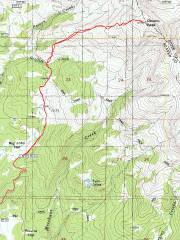
24k map with GPS trace. The road is now blocked at the south end of Big John Flats.* |
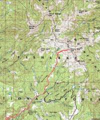
100k map |
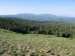
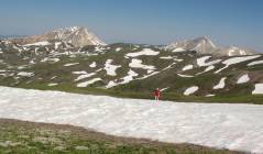
View SSW as we start up the slope, ~10500'. |
|
|
|
|
|
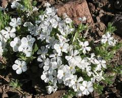
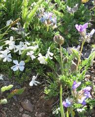
Phlox. |
|
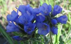
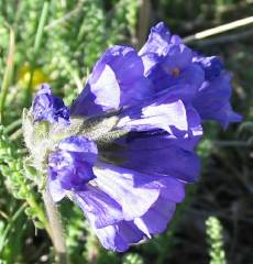
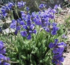
Blue sky pilots. |
|
|
|
|
|
|
View ENE to the lumpy top. |
View N. In the distance is Baldy Mt (left) and Belknap Mt (right), each almost as high as Delano. |
|
|
|
|
|
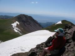
View SE over Mount Holly. |
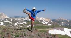
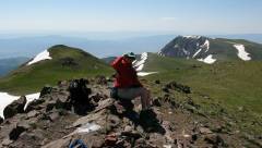
Look at me! Look at me! |
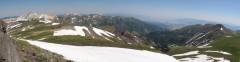
Panorama roughly NE. |
|
|
|
|
|
The dots at the middle bottom of photo are mountain goats (NOT bighorns). |
View east. |
More sky pilots. |
|
|
|
|
|
|
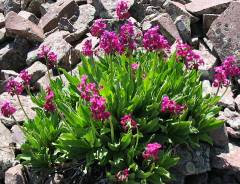
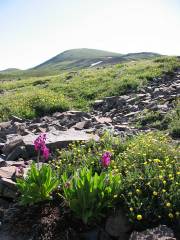
Parry's Primrose |
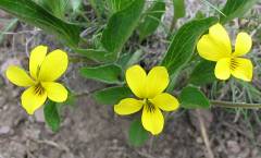
Yellow violets. |
|
|
|
|
|
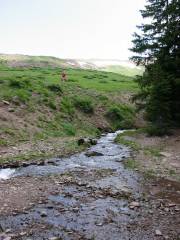
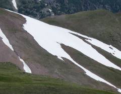
View ENE from the road. The snow banks are visible. |
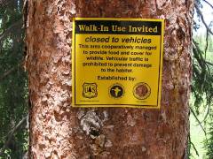
The FS site claimed this road would be closed until July 1, or until the meadow dried out. However, this sign doesn't imply any opening date. |
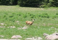
Mule deer everywhere… This one was actually near rte 153. |
|
|
|
|
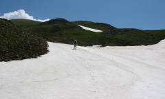
* In reality, ATVs go around the block at will, and seem to do the real damage. This road has signs that proclaim "NO ATVs" and there are other nearby trails specifically for ATVs; yet while we parked at Big John Flats, there was an ATV rider in camouflage clothes, resting on his mud machine. The fence has been partly torn down just right of the block, with one cross member that is easily lifted out of place. We saw ATV tracks everywhere on the road in, past the block. Where the ATVs couldn't get over the snow banks, they went around them, making new mud roads through the forest. Apart from the occasional snow bank, the road beyond the block is in great shape, and could be taken by most 2WD vehicles. The snow on the road -- below 10500' -- will probably be gone soon.
**I called the Fish Lake USFS in Beaver on July 18, 2005. I was told that the gate is locked "seasonally" -- but this year, the snow is so thick on the northern slopes that the gate may not be unlocked till September. There is also a big landslide that needs to be cleared, and the road from Beaver Creek is also locked.