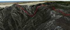
 This Google Earth view, from the N (i.e. looking S) belies the roughness of the terrain, but does give an idea for the steep drop into Canyon del Diablo. The DEM (digital elevation model) for this area is very coarse, so ther Google 3D view removes the rough spires on the ridge. |
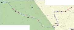 This contour map of the area is also based on a rough DEM, and doesn't capture any spire less than about 100 meters. |
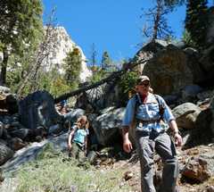
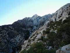
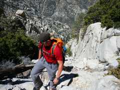
 Day 1: At Blue Bottle Pass, we get the first glimpse of Picacho del Diablo. The mountain seems close, but we have to drop 3100' vertical into Canyon del Diablo, with out full packs, before we get to climb the peak. |
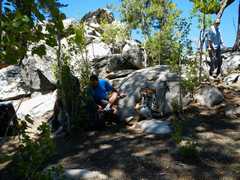
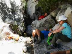
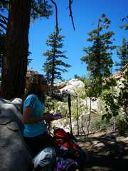 Resting at Blue Bottle Saddle. |
 Both Bart and Anji had gotten terribly car sick on the way in. I never see this aspect of the trip mentioned, but be forewarned that it is a very windy road. They both recovered, and incredibly, forged on. If I had been that ill, I would have decided to camp at the trailhead. Anji was mainly OK by this point, but Bart was still very ill. |
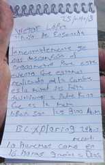
 At the saddle, we met Juan Carlos Lopez, who was acting as support for his brother Victor. He was placing ribbons to mark the trail (he removed the ribbons on the way out) and leaving caches of fluids. Victor was going for a one-day record, starting at midnight. |
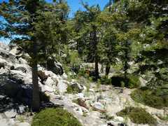
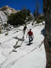
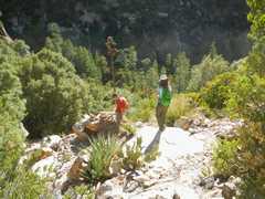
 Next we start a slow traverse down from Blue Bottle. It is important to look for the "ducks" (cairns). After a traverse, one drops very quickly. |
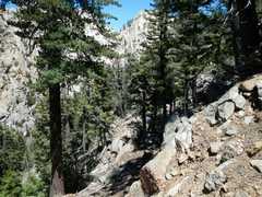
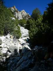
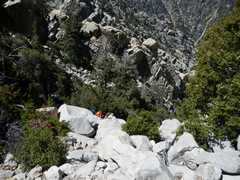
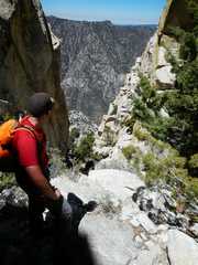
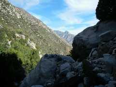
 View N up Canyon Diablo; we still have about 2000' of descent. |
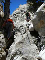
 It's hard to capture the roughness of the descent in pictures, because in the worst places, you can't free up your hands to take photos. |
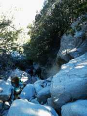
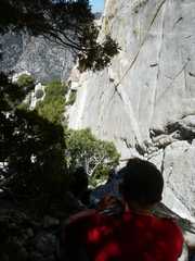
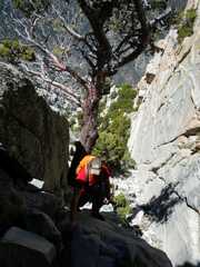
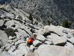
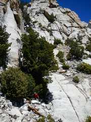
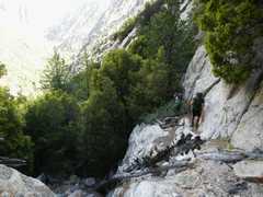
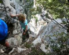
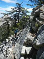
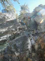 Juan Carlos is above, in orange. This area had slippery class 3 waterfalls, awkward with full packs. |
 |
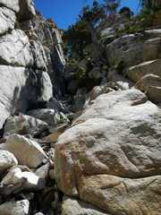
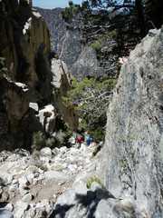
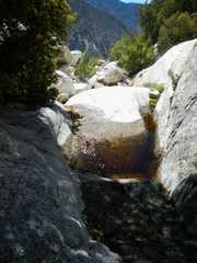
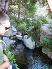 Finally near Campo Noche, we see refreshing water. |
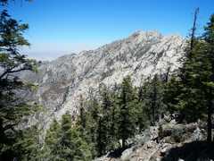
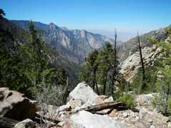
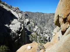
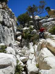
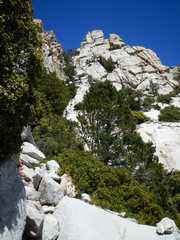
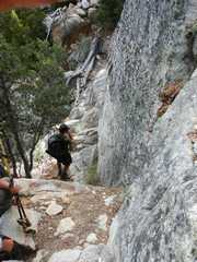
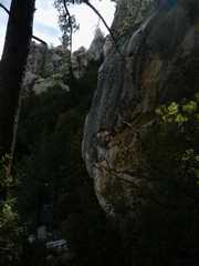
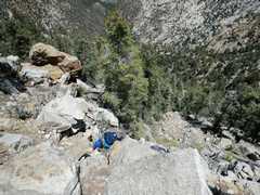
 Day 2: View up to Diablo ridge. The terrain is steep, and you must be constantly diligent for good foot placement on the often slippery granite. There are multiple ducked routes, which usually keep you from the abundant cliffs and chockstones. |
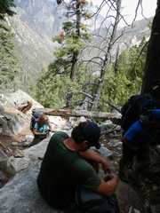
 We made an error early on, which cost us about 200' gain, so we learned quickly to look for cairns and retreat when they were not obvious. Here we rest at ~6800', with Canyon del Diablo behind. |
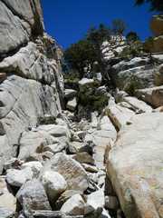
 When we weren't trying to scramble over slippery boulders in washes... |
 ...we were skirting cliffs to avoid big drops. |
 |
 |
 |
 Finally we reached "Wall Street," where there was a class 3 bypass on the right edge (by big tree). |
 Austin finishes bypassing the class 3 in Wall Street. |
 Near top of Wall Street. |
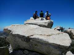
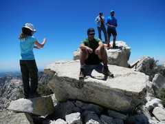
 The four amigos below. |
 |
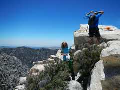
 View W as Austin makes last climb to summit. |
 Victor had passed us (going down) earlier in the morn. |
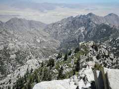
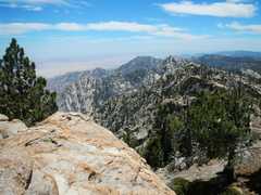
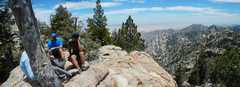
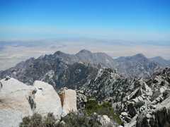 View SE from summit; Sea of Cortez in distance. |
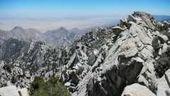
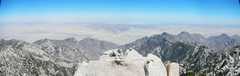 Wider pano view to E. |
 Bowl to ESE. |
 |
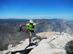 Me. I didn't go for full etension, as I didn't want to risk a cramp. |
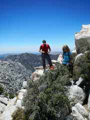
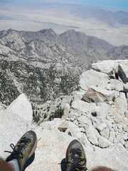 Steep drop to E. |
 |
 |
 |
 |
 Descending, above Wall Street. |
 Some downclimbs were best handled a$$-backwards. |
 Austin is past the class 3 downclimb on Wall Street. |
 |
 At base of Wall Street, view back ENE. Austin at base. |
 Another view back, blue figure is Bart. |
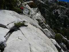 Often cairns will lead to an exposed but easy bypass, skirting cliffs. |
 We had heard that there was a waterfall at this spot. Alas, it was a dry year, and just a few puddles were left over. A small bird was drinking out of the pool. I passed out chlorine dioxide tabs. |
 It wasn't very hot (air T probably mid 60s at worst), but we always tried to take rest breaks in the shade; the direct sun was brutal |
 Finally we are just a few hundred feet above Campo Noche. |
 |
 |
 Day 3: View N down Canyon del Diablo as we start the climb out with our (now lighter) packs. |
 On the way up, we followed another ducked route, which had us traverse on a narrow ledge above a class 5 dryfall. |
 We reconnected to the same class 3 dryfall that we took down |
 |
 Anji and Bart opted to come up a more difficult bypass of the waterfall, partly to avoid the slick rock. |
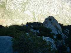
 A random view E past a huge (100'?) boulder. In back is a spire that gets washed out to nothing by the coarse google earth DEM (used in 1st image). |
 |
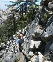 We are just a few hundred feet below Blue Bottle Saddle now; this traverse had good handholds, but required some exposed climbing, not easy with a full pack. |
 |
 One last view down into Canyon del Diablo. |
 We dropped our packs at the saddle, and made a quick trip up Blue Bottle Peak (Cerro Azul). |
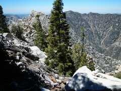
 Diablo in back (to NE) from Cerro Azul. |
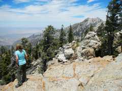
 View ESE from Cerro Azul. |
 |
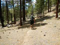 At last we are on faint but easy use trails. |
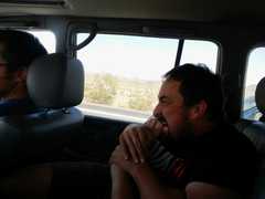
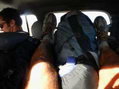 My seat on the drive out! |
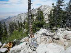
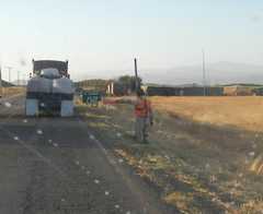 This military checkpoint had a scarecrow dressed up in a uniform. The intent was to warn people of the upcoming stop; it made sense not to sacrifice personnel for such a mundane duty, but somehow it seemed a bit comical. |
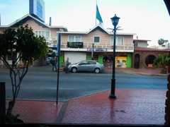
 My hotel room that night. Don't drink the water. |
 Next morn, the view across to the other hotel where Bart, Collin and Austin spent the night. We kidded Bart about his "Monster" habit, but the signes were all over and he was quickly attracted to this place. |
 On the way back, Bart was attending to his feet. I suggested that if he were a dog, he could just bite his foot directly, so he decided to try it. |
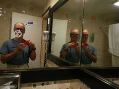
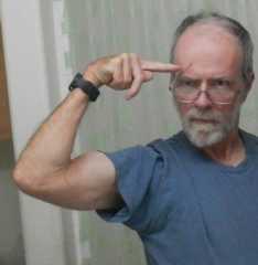 A scar from my battle with the Devil. Actually, I acquired the cut in the most innocuous of places, when I turned quickly and hit a broken tree branch square on. |