 |
 |
 |
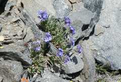
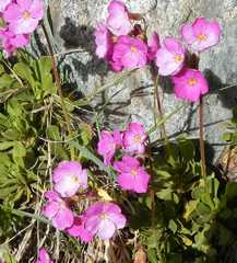 Sierra Primrose |
 |
 |
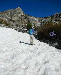 |
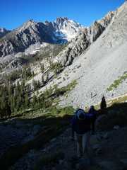
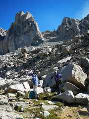
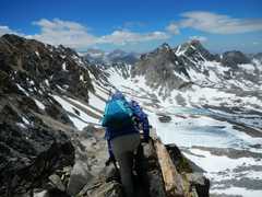
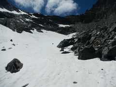
 Our 1st good view of Dragon. We will go up a gully at L of the peak, then ascend right through a hidden slot. |
 |
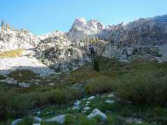
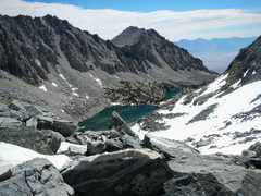
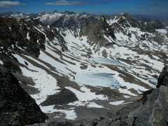
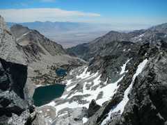
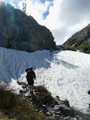
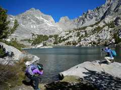 The last lake-- we will cut along the S (L) side. |
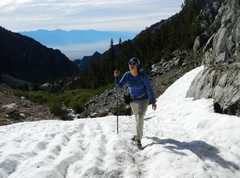
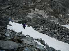
 I had played the idiot and cached my whippet (quasi- ice axe) below. It was hard to kick steps with my rounded approach shoes. |
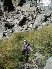
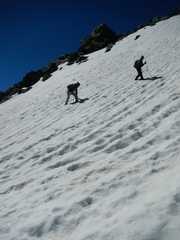
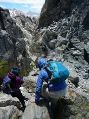
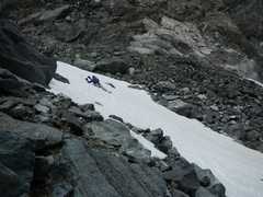
 Cori stayed low in the gully to S, preferring snow, while Jodie and I went over the blocky large talus. |
 View back E |
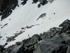
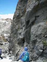
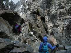
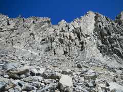 Don't go up here! as you ascend farther to W (L), you will turn R (N) up a hidden chute |
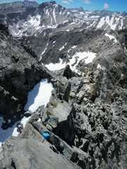
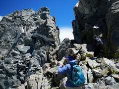 Nearing the summit block |
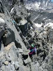
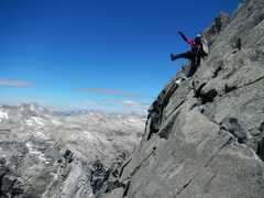 Cori tries to convince Jodie that the last traverse is OK |
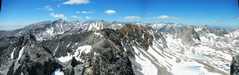
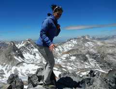
 From top, view W |
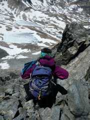
 I'm looking off E side of summit, back over Jodie's pack. This is the route Bob Burd used for descent; it looks OK, but is definitely class 4, especially for a short person. |
 |
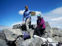 |
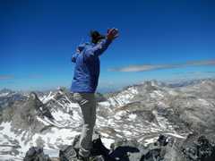 Drago! (Rocky IV) |
 |
 |
 |
 Cori heads back down |
 |
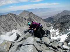
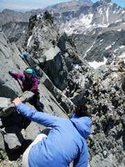 Cori gives Jodie some guidence |
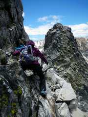
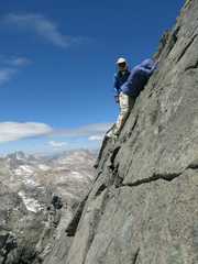 Photo courtesy of Cori: I'm giving Jodie advice about handholds |
 Descent S |
 |
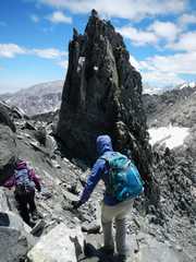 We will cut to L side of that pinnacle |
 |
 |
 polemonium |
 |
 |
 Cori glissades down snow |
 |
 Jodie slips and intuitively arrests with a trekking pole. |
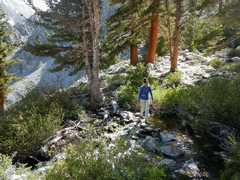
 Matt, a JMT hiker who got way off-route and came back with us. |
 |
|