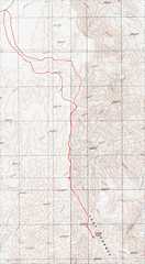
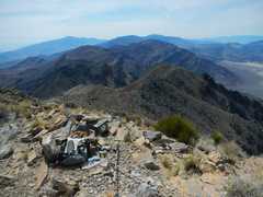
 Dry involved at least 5900' of accumulated elevation gain, and 14 miles. I finished the trip in 8h 24m, including a 30 minute stay on top, and at least 30 muntes lost to two "medical" situations. |
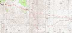
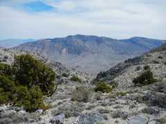
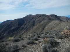
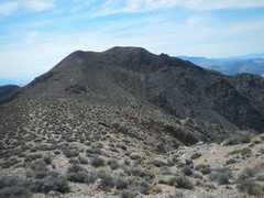
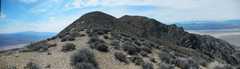
 Route up Dry, as seen from the SE. After cresting the initial ridge, there is a drop over 700', then a reclimb to the real summit. |
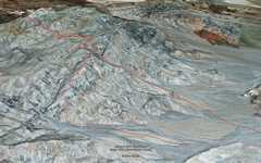
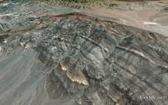
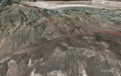
 Goggle Earth view form the NE. I came down the great ridge route pioneered by Kathy Wing. |
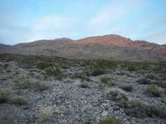 I got a late start -- 6:36AM-- and the sun soon lit up the ridge E of Dry Mt. |
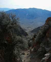
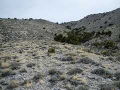
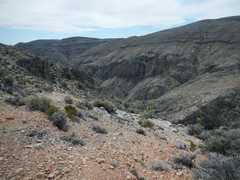
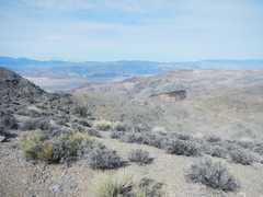
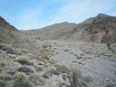 Eventually the wash becomes distinct and widens. |
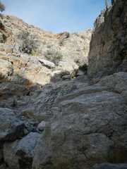
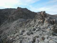
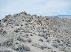
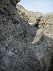 Briefly the route gets interesting. Keeping it class 2 depends on picking the correct branches of the wash, often denoted (after you have taken a branch!) by small cairns. |
 |
 |
 |
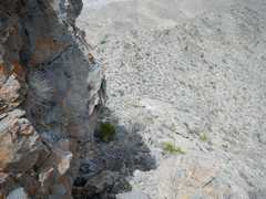
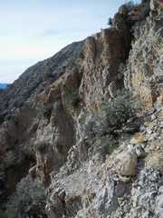 OK, this was a wrong turn; steep crumbly limestone. I should have stayed L. |
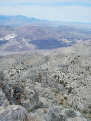
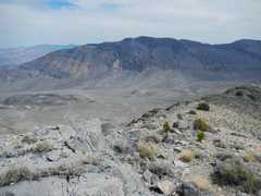
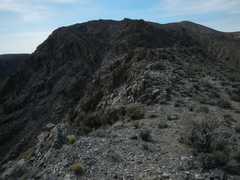
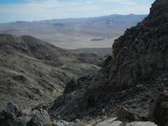
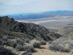
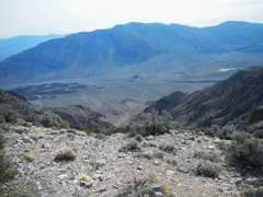 Finally I hit the 1st ridge; view E to Tin Mountain. |
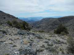
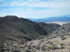
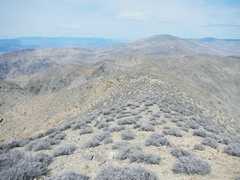
 Now a view W, where I must drop over 700' to start the final climb to the real peak. |
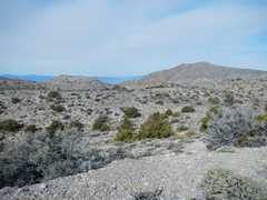
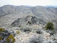
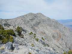
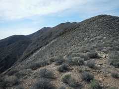
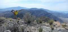
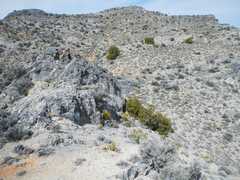 Heading W on the ridge to the real peak. |
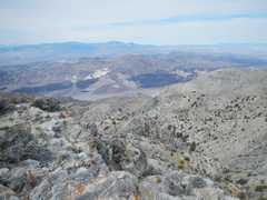
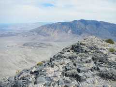
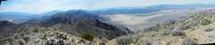
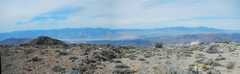 View W, with the Sierra beyond. |
 |
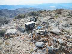 The large box contains emergecy supplies. |
 |
 |
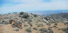
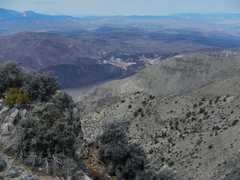
 If you travel a bit W, the views are more dramatic near the plateau edge. |
 |
 |
 |
 |
 |
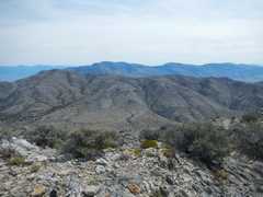
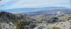
 Views to NW. |
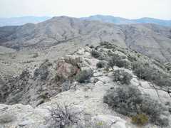 |
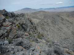
 On descent, view of the ridge down. |
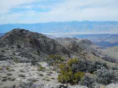
 View E, from near lowpoint between summit and east ridge. I decide to head up the wash (I took the ridge at L before). |
 Tin Mt. again. |
 |
 Now I'm heading SE down the ridge route found by Kathy W. |
 |
 View of Tin. |
 |
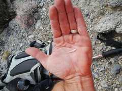 The first "medical" emergency. This 1" cactus spine found a gap in my outer sole, and went 1/4" into the bottom of my foot. I had to put a flat stone in the boot to press the spine back out, then finaly found a way to pull it out from the shoe bottom, much as I would extract a nail from a board. |
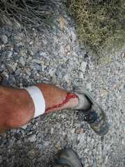 Next, a limestone boulder with razor-sharp sliceous fragments hit my knee, and one of the fragments embedded. I couldn't stop the boulder because my hands were stuck in trekking pole loops. |
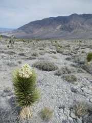 Joshua tree blooms. |
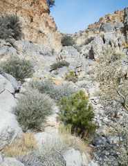
 Next day I went to Sandy Point. Except for an early section through a scratchy, brushy wash (which I avoided on descent), I found this to be a pleasant trip. |
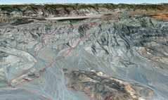
 Google Earth synthetic, view from SSW. |
 Google Earth synthetic, view from NNW. |
 Yep, there's the summit somewhere over there. The route is a long series of ridge walks, with many drops in saddles 10' to 150' deep. |
 |
 |
 |
 |
 |
 |
 |
 |
 The top is nearer... |
 View, mainly SW, from top; Eureka sand dunes are visible in valley. |
 SSW to Tin and Dry. |
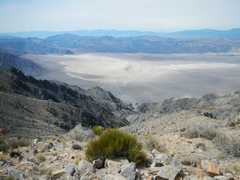 Down to the sand dunes. |
 |
 |
 |
 |
 |
 |
 While it is class 1, in the sense that a confident person never need put down his/her hands, there are places of careful walking on narrow paths atop cliffs. |
 |
||