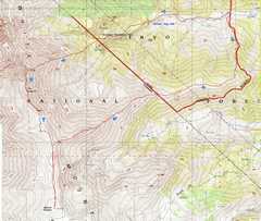
 Our route is in red. Bob Burd's descent from the Jumpoff (dashed blue) is probably saner, as it avoids the Montain Mahogany Hell and much of the Stream Crossing Hell. |
 As I drove in, I decided I should throw an ice ax (well, whippet), knee-length gaiters, and 3mm neoprene socks in the pack. As it turned out, we could avoid almost all snow. |
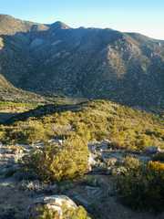
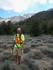
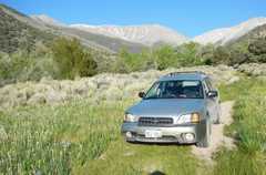
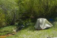 My campsite by Middle Creek was very peaceful. The DPS identifies this as the 2WD trailhead, but actually the last 3.3 miles are very rough. The road was recently closed here (barriers across the road). |
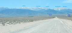
 Starting out, next morn, roughly DPS A (a bit farther S, mounting the ridge more directly). Montgomery and Boundary in distance. |
 |
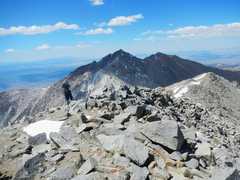
 View from the ridge, looking WSW to the main ridge of the Whites. I got ahead of the other folk at this point. |
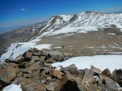
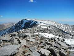
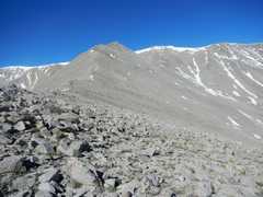 Eventually, we must go over point 13100' (L of center). Joel and Kyle tried to traverse around the L side of 13100', and lost some time. |
 |
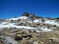
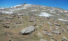
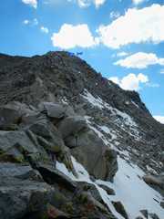
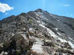
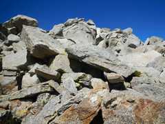 Look up at typical terrain. |
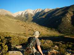
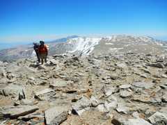
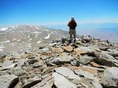
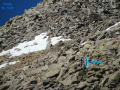 Kyle took this telephoto of me. The roughness of the terrain is quite evident. |
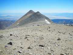
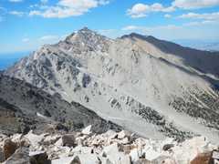
 Finally I'm on 13100', looking WSW. It looks like I can avoid almost all snow. |
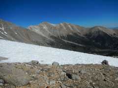
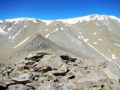
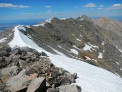
 View back at point 13100' and the smaller peak to its W. |
 |
 The magnificent summit! |
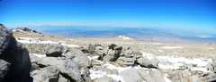 The Sierra to W. Smoke from fires in SoCal obscured the view. |
 View SW, with White Mt at L. |
 |
 |
 As I was trudging up, I thought, "surely even Doug Mantle hasn't done this peak more than 5x!" Wrong. |
 |
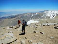
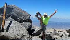 Self portrait. I waited for the other folks for 30m. I hadn't seen them for a while. and was a little worried. |
 Finally I saw them! They had tried to cut around several peaklets, and thus had disappeared from my view. |
 |
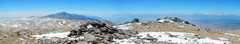
 View S as we start our trudge to Jumpoff, over several peaks that were thought to be within 1' of DuBois' elevation. From GPS readings, I think these northern peaks are 20+/-10' lower. |
 |
 |
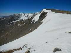
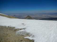
 We danced around lots of snow, not always successfully. This was actually the most scenic part of the trip. |
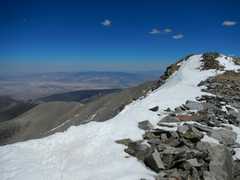
 View N over Jumpoff and out descent ridge (on R). Cornice avoidance made the route a bit convoluted. |
 |
 View back S. |
 Montgomery (L) and Boundary (R) in distance. |
 Now I'm descending off the ridge NE of Jumpoff. The yellow-green speck is Joel. It's hard to give a feeling for the roughness of the terrain -- I'm looking UP to W. |
 Montgomery and Boundary again. I was recalling a 2004 trip when a group tried to traverse on the S side of Boundary to avoid the 280' climb back over it... and after crossing 3 gullies on horrible talus, climbed back up 500' to the top! |
 Another view W and UP. |
 By this time, we didn't have much to smile about. |
 View back up at the DuBois contenders and Jumpoff. |
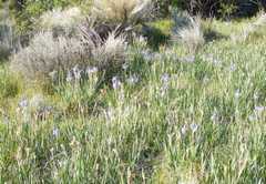 Next day, irises. |
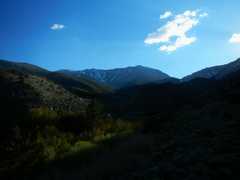
 On way out, view W up Middle Creek Canyon. |
|