Return
to N Fire Peak-- New Canyon
pics by Harlan W.S & Lori C I was last in this area 3 years ago (Fire
N, Fire S).
Nick N explored this area a lot, and much of my beta was from
him. Years ago, Bob G would lead trips
out here, and would bring a long extension ladder to go up to a sketchy
section on the last rappel. This a
remote, hard-to-get-to, very seldom visited area. I was intentionally looking
for a canyon system with few raps; believe me, you can find much tougher
canyons in the area. Thanks to Lori for some pics (credited below), for expertise with anchors, and for carrying the rope! |
|
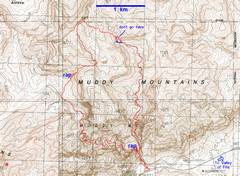
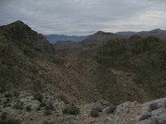
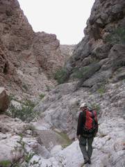
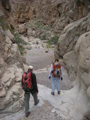
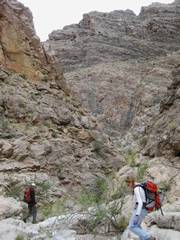
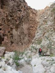
We went counter-clockwise around the loop, starting from the paved parking area off |
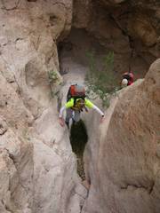
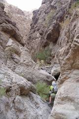
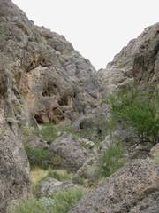
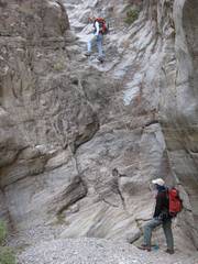
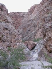
The 1st significant obstacle requires a climb to the R (E) to the lip of a fluted pour-off. |
Catclaw acacias are the dominant plants. |
|
|
|
|
|
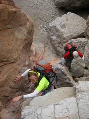
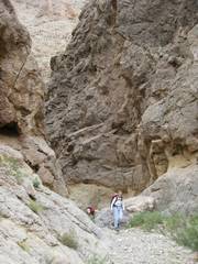
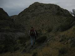
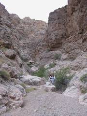
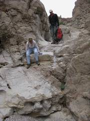
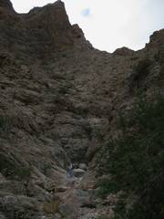
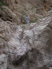
We’re over the lip. |
…then we turn L and rejoin the main canyon. |
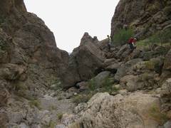
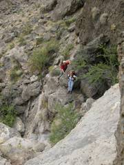
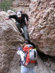
Soon another large fall is avoided by heading up a cliff on the L side. |
|
|
|
|
|
|
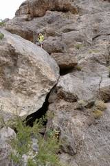
(Pic courtesy Lori C) |
(Pic courtesy Lori C) |
|
|
|
|
|
|
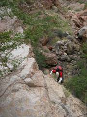
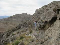
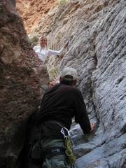
I’m on the ledge labeled “don’t go here” on the map. It’s much safer to follow the dotted blue line. |
Lori’s view back at me. I crawled and chimneyed up to this perch. (Pic courtesy Lori C) |
|
|
|
|
|
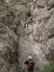
I next tried to coax Lori and Richard up here, but after dropping rocks on Lori, I admitted the normal way was saner. |
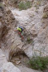
So we split apart for a short time. I thought I would have an easy go once past that rough area, but around this corner, I hit a dryfall with an overhanging lip, and had to climb up the canyon wall. |
Needless to say, I was quite happy when I once more saw my compatriots. |
|
|
|
|
|
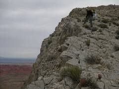
Lori and Richard took this route. (Pic courtesy Lori C) |
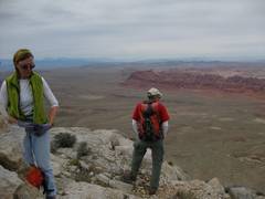
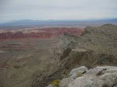
We hit the 1141m highpoint, and forewent the other peaks, as we weren’t sure if the daylight and weather allowed too much exploration. |
|
|
|
|
|
|
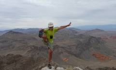
I didn’t have time to stretch! (Pic courtesy Lori C) |
On the edge, descent of 1141m. |
|
|
|
|
|
|
|
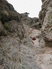
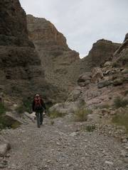
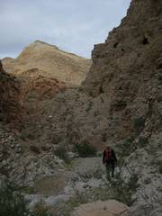
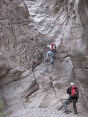
We needed just one rap on the way down this unknown (to me) canyon. |
View UP. |
|
|
|
|
|
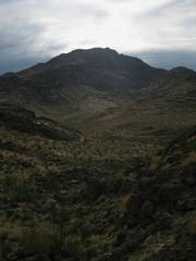
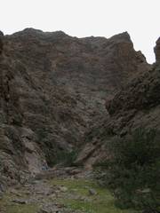
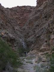
Longwell (Fire) highpoint to S. |
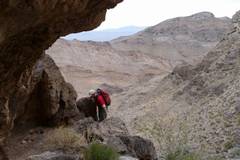
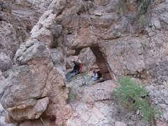
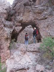
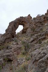
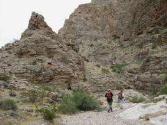
There were two fairly big arches on the way out; Nick told me about these long ago. |
|
|
|
|
|
|
I’m up there for scale! (Pic courtesy Lori C) |
|
|
|
|
|
|
|
|
|
|
|
|
|
|
|
|
|
|
|
|
|
|
|
|
|
|
|
|
|
|
|
|
|
|
|
|
|
|
|
We never did figure out what a “thigh belay” was supposed to be. |
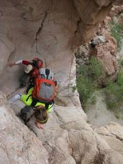
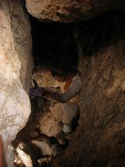
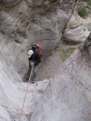
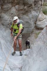
The last rap. Lori quickly fashioned a new anchor. The old anchor webbing fell apart in my hands. |
(Pic courtesy Lori C) |
|
|
|
|
|
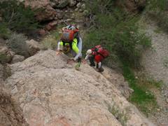
The “ladders” ascent route required carrying in a ladder that would reach about to where Lori’s feet are placed! It was a dicey climb, with a step off the last rung onto slick, sloped rock. |
|
|
|
|
|
|
|
|
|
|
|
|
|
|