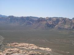
View W to Bridge Mt., as I first climb up onto Grey Cap ridge. |
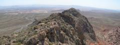
Looking back SE over 1st lump on ridge. The ridge was a lot more uneven than I had expected. |
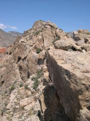
View SE, a bit further up the ridge. I thought I could always cut north to avoid onstacles…uh-uh. |
|
|
|
|
|
NNE view from ridge. Is that Grey Cap? Nope. Turtlehead at L; LaMadre at R. |
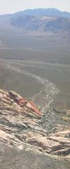
NE across Brownstone Basin. |
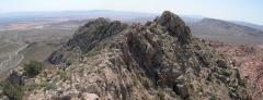
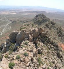
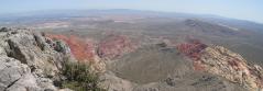
View back SE; ridge is still rough. |
|
|
|
|
|
View NNW. Is that Grey Cap yet? Nope. |
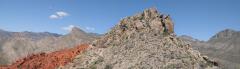
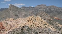
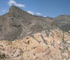
OK that's Grey Cap (on the R, just R of the tan sandstone). |
|
|
|
|
|
|
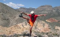
Self-portrait & view NW. Obligatory cerebellum check. |
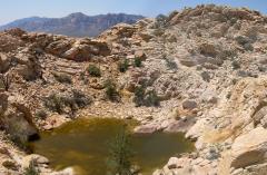
Surprising tinaja, just W of Grey Cap. Note lone Ponderosa Pine. |
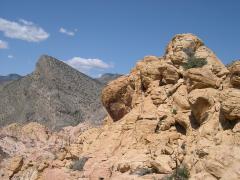
View W to Turtlehead. |
|
|
|
|
|
On Turtlehead. A random couple enjoys the view E to Vegas. |
Obligatory Turtlehead view of (L to R) Mt Wilson, Rainbow Peak & Wall, Bridge Pt & Bridge Mt, North Peak. |
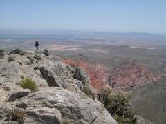
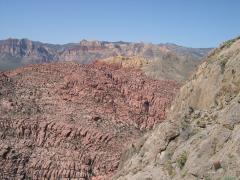
Looking SE over Calico Basin, from Turtlehead. |
|
|
|
|
|
Sandstone Quarry Parking lot and Mt Potosi (S from Turtlehead). |
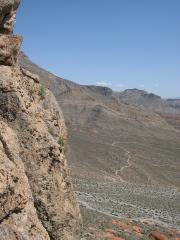
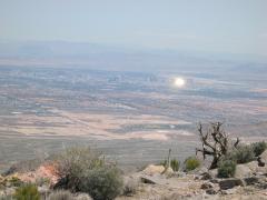
Descending Turtlehead; View ESE as Luxor catches the sun. |
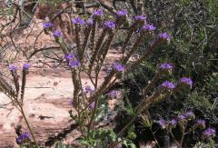
Phacelia (thanks to Anya D. for the ID!) |
|
|
|
|
|
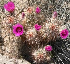
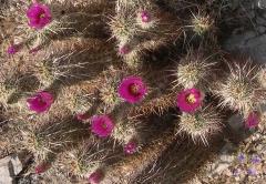
Strawberry hedgehog cactus. |
Beavertail cactus. |
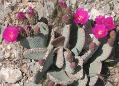
Claret Cup or Mojave Hedgehog; both are species Echinocereus triglochidiatus. |
|
|
|
|
|
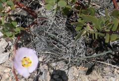
Mariposa lily, out-of-focus (a camouflage adaptation) by manzanita. |
Indian paintbrush. |
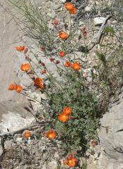
Globemallows. |
|
|
|
|
|
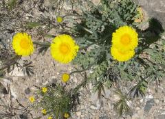
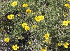
Desert Marigolds with wooly daisy in back? |
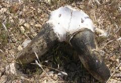
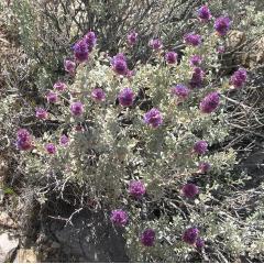
Bighorn skull cap. |
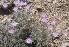
Pinyon asters. |
|
|
|
|
|
Mojave sage (not true sagebrush). |
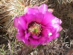
White spider on strawberry hedgehog blossom. |
|
|
|
|
|
|
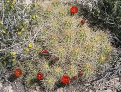
More strawberry hedgehog. |
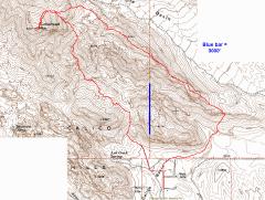
Map with GPS trace. Normal route to Turtlehead starts at Sandstone Quarry S of peak. If you want the log or routes, contact me: hwstock at alum point mit point edu |
|
|
|
|
|