Graycap-Damsel*-Turtlehead
from
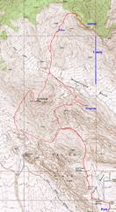
pics by Harlan W. S. 15.5 miles, 6000’ accumulated
elevation gain. I started at 9AM, took
7.5 hrs; it would be smarter to start at 7AM to deal with these short days. The traditional routes to Damsel are now
legally closed because of construction; but there are fresh car tracks to
4600’ in *Damsel is also called “Pincushion” |
|
GPS trace in red. |
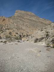
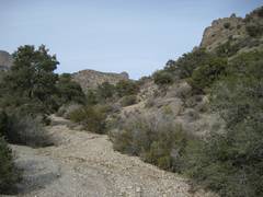
As one crests |
The wash forks, and one takes the branch that heads straight for Turtlehead. |
|
|
|
|
|
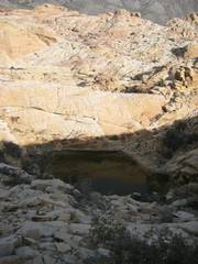
This dryfall can be passed on the left (out of view). |
1st tinaja near top of Graycap. |
2nd tinaja near top. |
|
|
|
|
|
On top of Graycap. Ta-da! |
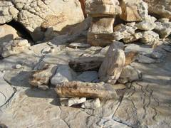
I’ve found several of these elaborate chairs near Calico. Perhaps they are meant for a summit bivy? |
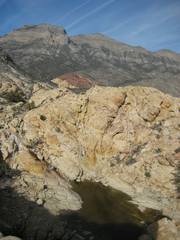
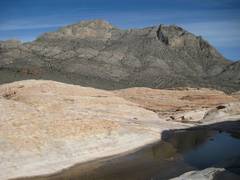
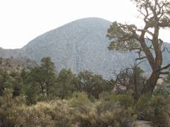
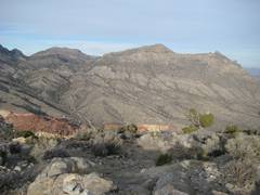
Damsel as viewed
across a tinaja near |
|
|
|
|
|
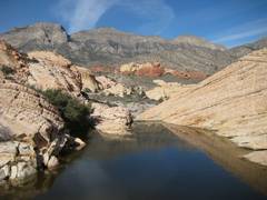
Water behind the weir; partly frozen. La Madre in background. |
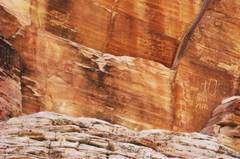
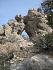
Petroglyphs. |
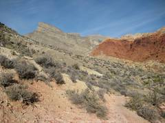
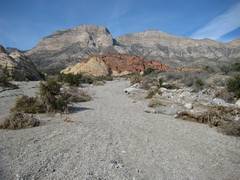
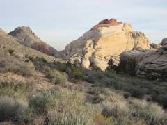
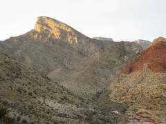
Heading NW up wash. Turn R at the red rock. |
|
|
|
|
|
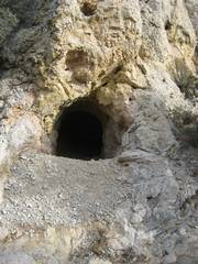
Mine at 5650’. |
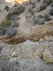
Out-of-sequence photo. This is the 2nd right turn, near a steep slope on the right. |
|
|
|
|
|
|
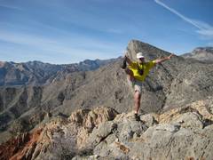
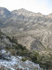
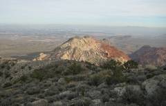
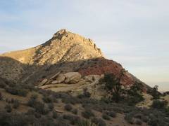
View back at La Madre. This peak offers really good views of La Madre and friends. |
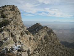
Approaching the main summit of Damsel. |
On top of Damsel. There were very few entries in the register (by the way, the peak needs a new register container). |
|
On top of Damsel, I took
off my wet poly shirt, dried my body, and put on a sweater. The temperature was below freezing; there
was dry snow on the ground, and the talus chunks were frozen together, making
the slope more stable. When it was
time to leave, I picked up my damp, now partly frozen shirt, and made a
decision: I’ll go bare-chested until I absolutely have to put something
back on. And that time occurred 3.5 hours later, when I was back at my
car. There was no wind, and I was
astoundingly comfortable, as long as I was burning calories. |
||
|
My next goal: Turtlehead, from an unusual approach. |
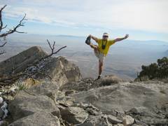
At 6000’ on Turtlehead, I look out E over Graycap. |
My car is down
there on the far side of |
|
|
||
|
I kept warm by burning calories. Temps were below freezing. |
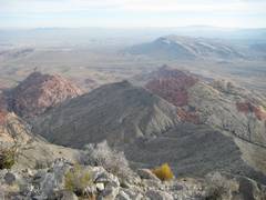
View back NNE to |
After I had descended to about 4800’ on the W side of Turtlehead, I left the official trail and headed toward “Redcap” (Turtlehead Jr.) via this pleasant use trail. |
|
|
|
|
|
Next I climbed over a pass by “New Peak” (named by Eva Pollan) and cut left down a wash, again on a use trail. |
The use trail was cut by deep channels from recent rains. |
As I climbed out of
|
|
|
|
|